Mountains in United States
Burnt Peak
5,791 ft1,765 m
Mountain · Sierra Pelona Ridge · United States
Burnt Peak is the highest peak of the Sierra Pelona, located in northwestern Los Angeles County, Southern California. The peak is home to a VOR air navigation beacon.
From Wikipedia, CC BY-SA · Read the article
At the summit · forecast for 9:00 PM
44 °FPartly cloudy · wind 8 mph from the SW
 See it in 3D
Weather at the summit of Burnt Peak, 5,791 ft
- 9:00 PM44 °FSW 8 mph–
- 12:00 AM42 °FW 8 mph–
- 3:00 AM38 °FW 9 mph–
- 6:00 AM36 °FW 9 mph–
- 9:00 AM47 °FSW 8 mph–
- 12:00 PM56 °FS 6 mph–
- 3:00 PM58 °FS 8 mph–
- 6:00 PM49 °FS 5 mph–
| Day | Sky | High / low | Rain | Wind up to |
|---|---|---|---|---|
| Wed, Oct 28 | Partly cloudy | 58 °F / 36 °F | – | 9 mph |
| Thu, Oct 29 | Clear | 57 °F / 39 °F | 0.02 in | 10 mph |
| Fri, Oct 30 | Partly cloudy | 47 °F / 42 °F | 0.13 in | 8 mph |
| Sat, Oct 31 | Rain | 44 °F / 42 °F | 0.17 in | 4 mph |
| Sun, Nov 1 | Mostly clear | 47 °F / 37 °F | – | 11 mph |
| Mon, Nov 2 | Clear | 55 °F / 35 °F | – | 12 mph |
| Tue, Nov 3 | Clear | 56 °F / 36 °F | – | 9 mph |
Forecast by MET Norway (CC BY 4.0), updated 10:17 AM PDT. Times are local.
Facts
- What it is
- Mountain
- Height above sea level
- 5,791 ft (1,765 m)
- Prominence
- 2,448 ft (746 m)
- Range
- Sierra Pelona Ridge
- Country
- United States
- Coordinates
- 34.682°N 118.577°W
- Source
- Wikidata, CC0
Peaks near Burnt Peak
- Cobblestone Mountain6,738 ft · 28 km awayOn the map
- Sand Rock Peak2,511 ft · 35 km awayOn the map
- Frazier Mountain8,017 ft · 37 km awayOn the map
- Double Mountain7,993 ft · 40 km awayOn the map
- Mission Point2,771 ft · 41 km awayOn the map
- Rocky Peak2,715 ft · 44 km awayOn the map
- Chatsworth Peak2,313 ft · 48 km awayOn the map
- Hines Peak6,716 ft · 49 km awayOn the map
- Antimony Peak6,851 ft · 53 km awayOn the map
- Comanche Point1,073 ft · 54 km awayOn the map
Highest mountains in United States
- Denali20,308 ftOn the map
- Mount Saint Elias18,009 ftOn the map
- Mount Foraker17,402 ftOn the map
- Mount Bona16,535 ftOn the map
- Mount Blackburn16,390 ftOn the map
- Mount Sanford16,237 ftOn the map
- Mount Vancouver15,787 ftOn the map
- Mount Churchill15,636 ftOn the map
- Mount Fairweather15,325 ftOn the map
- Mount Hubbard14,951 ftOn the map
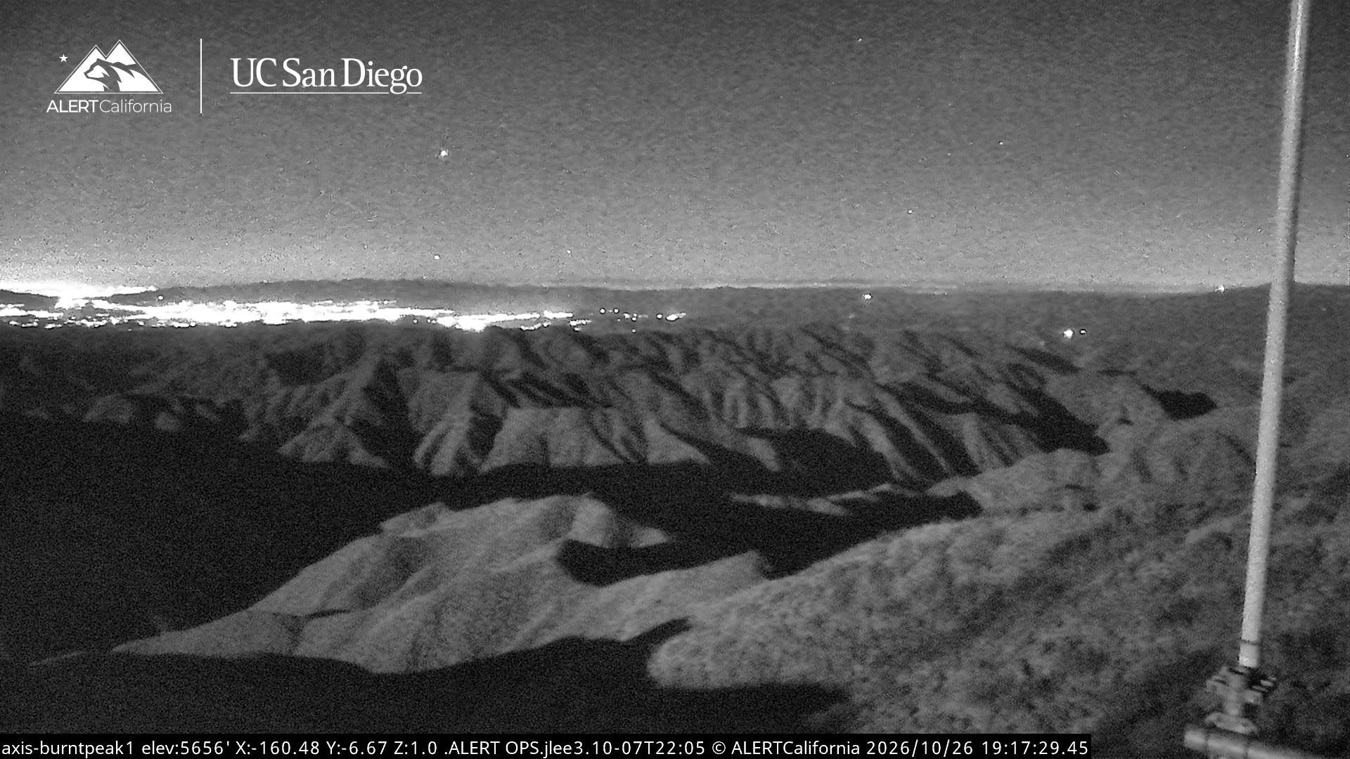
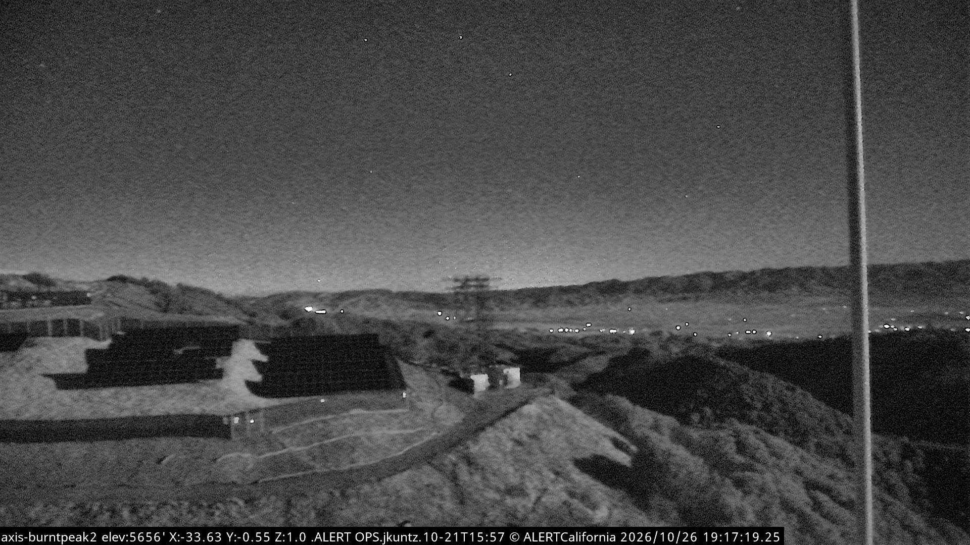
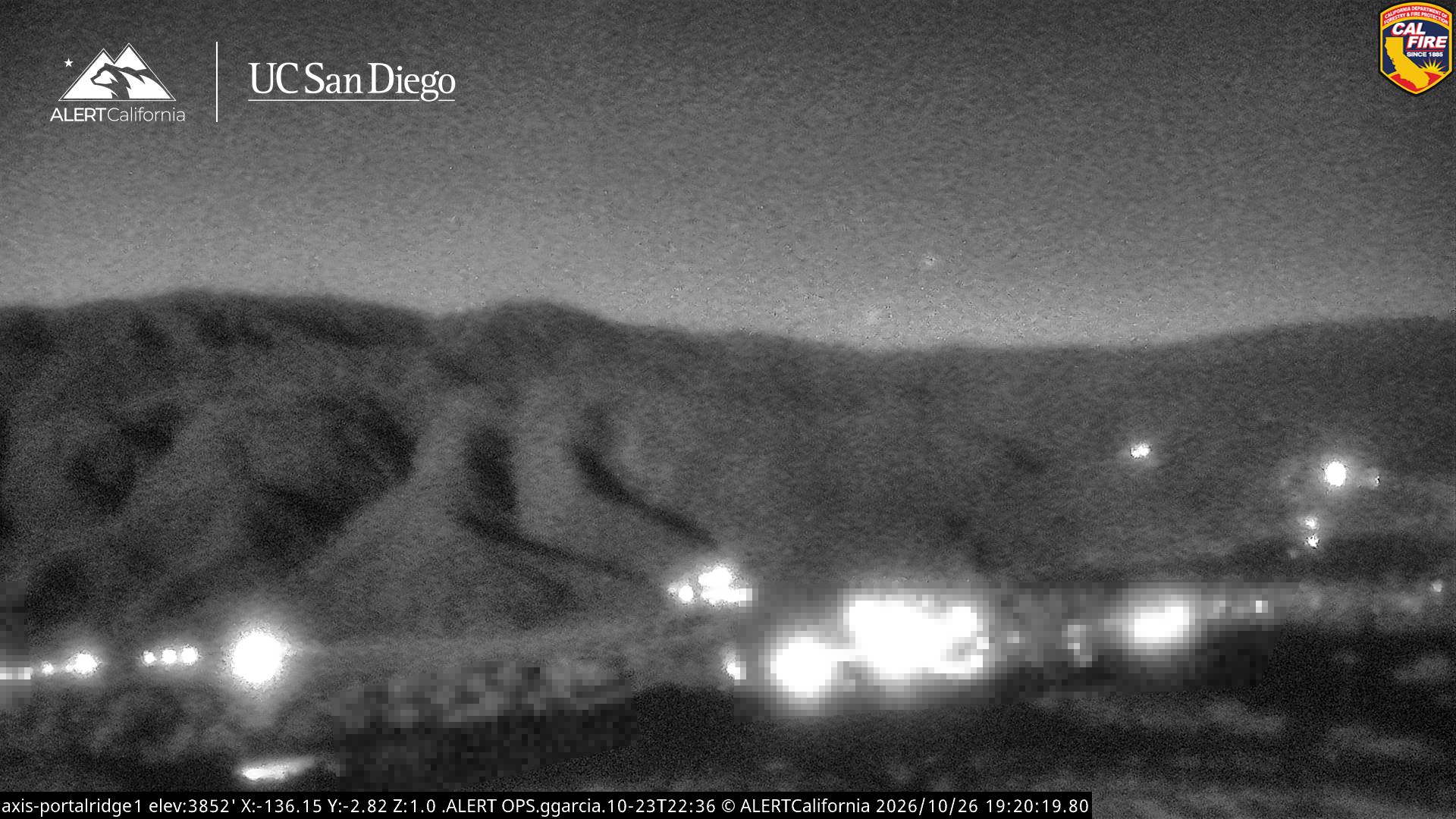
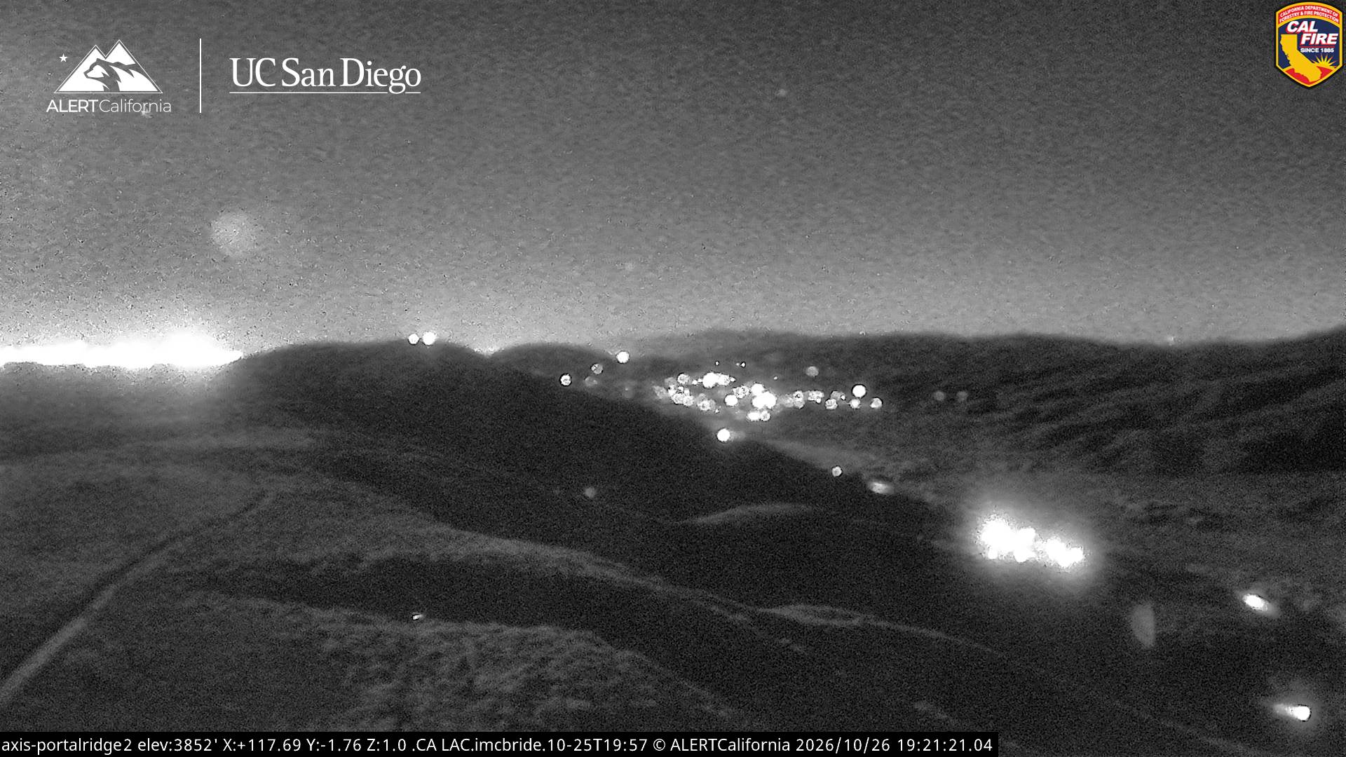
Webcams near Burnt Peak
History around Burnt Peak
- Hughes Fire2025
- Lake Fire2020
- Катастрофа C-135 под Санта-Аной1965
- Route Fire2022
Towns near Burnt Peak
- Castaic22 km away
- Valencia27 km away
- Stevenson Ranch32 km away
- Santa Clarita32 km away
- Lancaster40 km away
- Rosamond43 km away