Mountains in Czechia
Černá hora
1,084 m3,556 ft
Mountain · Jizera Mountains · Czechia
Die Černá hora ist der dritthöchste Berg im tschechischen Teil des Isergebirges, gelegen im zentralen Teil des Gebirges.
From German Wikipedia, CC BY-SA · Read the article
At the summit · forecast for 2:00 PM
6 °CMostly clear · wind 13 km/h from the N
 See it in 3D
Weather at the summit of Černá hora, 1,084 m
- 2:00 PM6 °CN 13 km/h–
- 5:00 PM1 °CN 10 km/h–
- 8:00 PM1 °CNE 13 km/h–
- 11:00 PM1 °CNE 12 km/h–
- 2:00 AM2 °CNE 9 km/h–
- 5:00 AM3 °CN 9 km/h0.2 mm
- 8:00 AM3 °CN 6 km/h0.2 mm
- 11:00 AM4 °CN 10 km/h–
| Day | Sky | High / low | Rain | Wind up to |
|---|---|---|---|---|
| Fri, Oct 30 | Partly cloudy | 6 °C / 1 °C | 0.4 mm | 13 km/h |
| Sat, Oct 31 | Rain | 3 °C / 2 °C | 3.7 mm | 9 km/h |
| Sun, Nov 1 | Cloudy | 2 °C / -2 °C | 1.5 mm | 13 km/h |
| Mon, Nov 2 | Cloudy | 2 °C / -4 °C | 0.1 mm | 8 km/h |
| Tue, Nov 3 | Cloudy | 1 °C / -2 °C | 0.9 mm | 15 km/h |
| Wed, Nov 4 | Cloudy | 1 °C / -3 °C | – | 12 km/h |
| Thu, Nov 5 | Clear | 5 °C / -5 °C | – | 4 km/h |
Forecast by MET Norway (CC BY 4.0), updated 12:19 PM GMT+1. Times are local.
Facts
- What it is
- Mountain
- Height above sea level
- 1,084 m (3,556 ft)
- Prominence
- 111 m (365 ft)
- Isolation
- 3.4 km to higher ground
- Range
- Jizera Mountains
- Parent peak
- Jizera
- Country
- Czechia
- Coordinates
- 50.827°N 15.210°E
- Source
- Wikidata, CC0
Peaks near Černá hora
- Slovanka819 m · 6.1 km awayOn the map
- Smrk1,124 m · 8.2 km awayOn the map
- Ještěd1,012 m · 19 km awayOn the map
- Szrenica1,362 m · 22 km awayOn the map
- Łabski Szczyt1,472 m · 24 km awayOn the map
- Wielki Szyszak1,510 m · 26 km awayOn the map
- Śmielec1,424 m · 26 km awayOn the map
- Czeskie Kamienie1,416 m · 27 km awayOn the map
- Śląskie Kamienie1,413 m · 28 km awayOn the map
- Steinberg362 m · 29 km awayOn the map
Parent peak
The nearest higher peak its prominence is measured to.
- Jizera1,122 mOn the map
Highest in the Jizera Mountains
- Stóg Izerski1,105 mOn the map
- Černá hora1,084 mOn the map
- Wysoki Kamień1,058 mOn the map
- Świeradowiec1,036 mOn the map
- Zámky1,005 mOn the map
- Bukovec1,005 mOn the map
- mountain-120376651,002 mOn the map
- Podmokła1,001 mOn the map
- Cicha Równia1,001 mOn the map
Highest mountains in Czechia
- Sněžka1,603 mOn the map
- Wielki Szyszak1,510 mOn the map
- Praděd1,491 mOn the map
- Smogornia1,490 mOn the map
- Mały Szyszak1,440 mOn the map
- Keprník1,423 mOn the map
- Králický Sněžník1,423 mOn the map
- Plechý / Plöckenstein1,379 mOn the map
- Bayerischer Plöckenstein1,362 mOn the map
- Boubín1,362 mOn the map
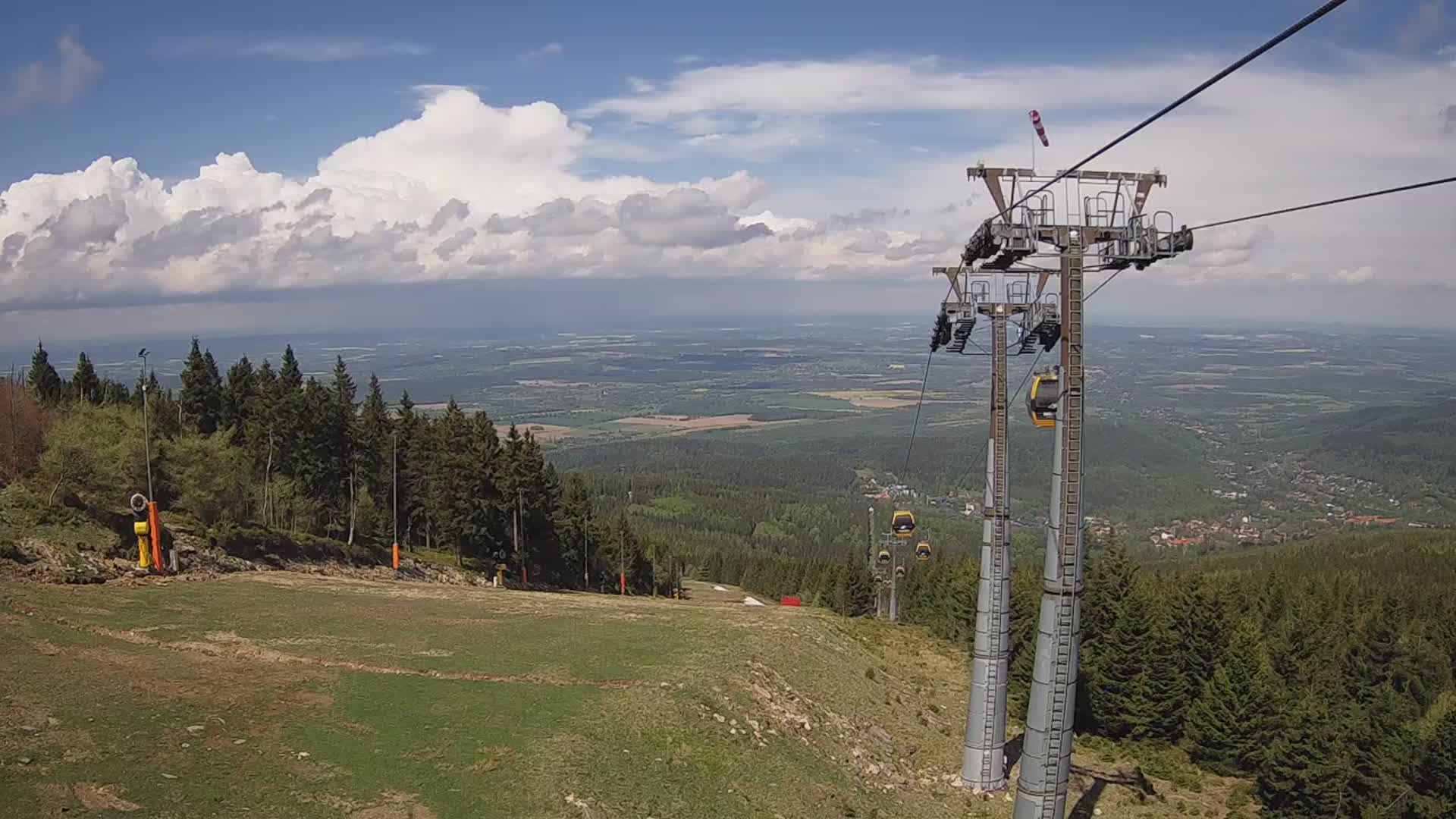
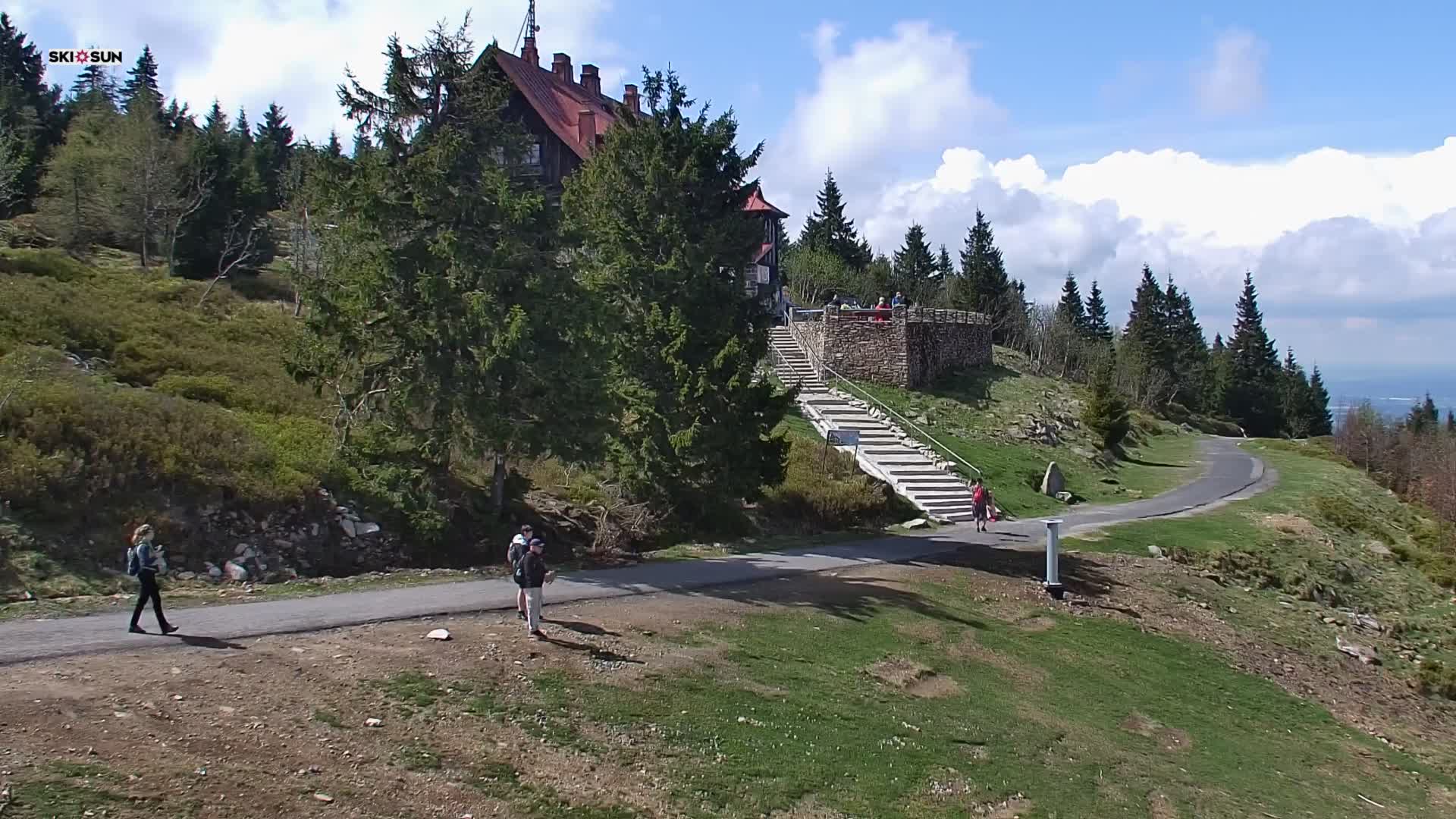
Webcams near Černá hora


History around Černá hora
- Battle of Reichenberg1757
- Battle of Kratzau1428
- pád lokomotivy do Smědé1958
- Shooting down of the City of Savannah bomber on March 5, 19451945
- No evidence of German troop movements against Czechoslovakia is found, and the May Crisis subsides1938
- Demonstration der Sudetendeutschen am 4. März 19191919
- Svárovská stávka1870
- Battle of Langenbruck1866
Towns near Černá hora
- Jablonec nad Nisou12 km away
- Liberec13 km away
- Bogatynia20 km away
- Zittau29 km away
- Lubań33 km away
- Jelenia Góra37 km away