Mountains in United States
Cerro Planada
Mountain · United States
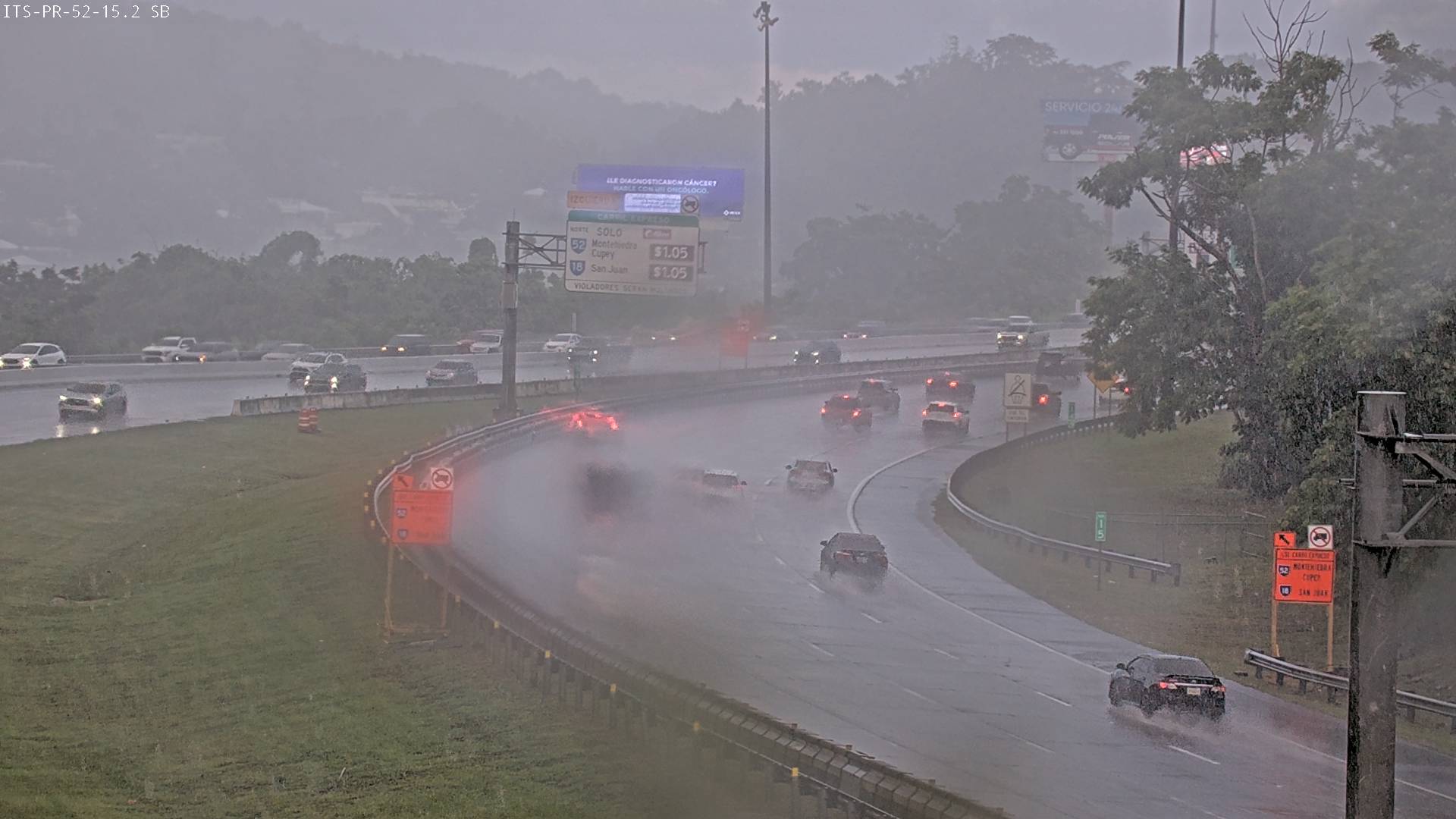
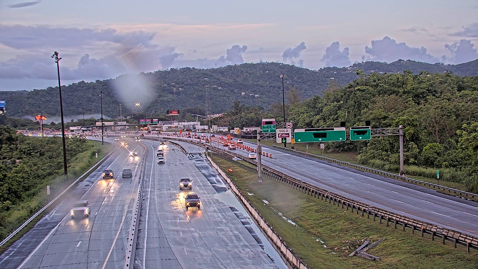
Cerro Planada is a mountain peak located in Cayey, Puerto Rico. The mountain has an elevation of 2,480 feet, making it the 10th highest peak of the Sierra de Cayey.
From Wikipedia, CC BY-SA · Read the article
At the summit · forecast for 3:00 PM
73 °FRain · wind 9 mph from the S
 See it in 3D
Cerro Planada weather forecast
- 3:00 PM73 °FS 9 mph0.03 in
- 6:00 PM71 °FS 6 mph–
- 9:00 PM70 °FE 4 mph–
- 12:00 AM69 °FNE 5 mph–
- 3:00 AM67 °FNW 4 mph–
- 6:00 AM68 °FSE 4 mph–
- 9:00 AM74 °FSE 6 mph0.03 in
- 12:00 PM79 °FSE 9 mph0.03 in
| Day | Sky | High / low | Rain | Wind up to |
|---|---|---|---|---|
| Wed, Oct 28 | Mostly clear | 80 °F / 67 °F | 0.07 in | 9 mph |
| Thu, Oct 29 | Rain | 80 °F / 68 °F | 0.14 in | 11 mph |
| Fri, Oct 30 | Light rain | 82 °F / 69 °F | 0.03 in | 6 mph |
| Sat, Oct 31 | Rain | 78 °F / 68 °F | 0.13 in | 5 mph |
| Sun, Nov 1 | Rain | 79 °F / 68 °F | 0.28 in | 6 mph |
| Mon, Nov 2 | Partly cloudy | 76 °F / 69 °F | 0.21 in | 4 mph |
| Tue, Nov 3 | Partly cloudy | 75 °F / 69 °F | 0.39 in | 4 mph |
Forecast by MET Norway (CC BY 4.0), updated 01:17 PM AST. Times are local.
Facts
- What it is
- Mountain
- Country
- United States
- Coordinates
- 18.087°N 66.209°W
- Source
- Wikidata, CC0
Peaks near Cerro Planada
- Cerro Las Tetas2,759 ft · 2.5 km awayOn the map
- Altos de San Luis633 ft · 28 km awayOn the map
- Cerro Doña Juana3,471 ft · 30 km awayOn the map
- Cerro El Bolo3,527 ft · 31 km awayOn the map
- Cerro Rosa4,157 ft · 36 km awayOn the map
- Cerro Maravilla3,953 ft · 37 km awayOn the map
- Tres Picachos3,953 ft · 38 km awayOn the map
- Monte Jayuya4,314 ft · 40 km awayOn the map
- Cerro de Punta4,390 ft · 42 km awayOn the map
- Pico El Yunque3,543 ft · 51 km awayOn the map
Highest mountains in United States
- Denali20,308 ftOn the map
- Mount Saint Elias18,009 ftOn the map
- Mount Foraker17,402 ftOn the map
- Mount Bona16,535 ftOn the map
- Mount Blackburn16,390 ftOn the map
- Mount Sanford16,237 ftOn the map
- Mount Vancouver15,787 ftOn the map
- Mount Churchill15,636 ftOn the map
- Mount Fairweather15,325 ftOn the map
- Mount Hubbard14,951 ftOn the map