Mountains in Monaco
Chemin des Révoires
162 m531 ft
Mountain · Monaco · France
The Chemin des Révoires is a pathway within Les Révoires district of the Principality of Monaco. It is the highest point in Monaco.
From Wikipedia, CC BY-SA · Read the article
The highest point of Monaco
At the summit · forecast for 10:00 PM
12 °CClear · wind 8 km/h from the N
 See it in 3D
Weather at the summit of Chemin des Révoires, 162 m
- 10:00 PM12 °CN 8 km/h–
- 1:00 AM13 °CN 10 km/h–
- 4:00 AM13 °CN 10 km/h–
- 7:00 AM13 °CN 10 km/h–
- 10:00 AM18 °CSW 9 km/h–
- 1:00 PM19 °CS 16 km/h–
- 4:00 PM18 °CSW 12 km/h–
- 7:00 PM14 °CNW 7 km/h–
| Day | Sky | High / low | Rain | Wind up to |
|---|---|---|---|---|
| Wed, Oct 28 | Clear | 19 °C / 13 °C | – | 16 km/h |
| Thu, Oct 29 | Clear | 20 °C / 13 °C | – | 12 km/h |
| Fri, Oct 30 | Mostly clear | 17 °C / 11 °C | 0.1 mm | 13 km/h |
| Sat, Oct 31 | Clear | 18 °C / 9 °C | – | 10 km/h |
| Sun, Nov 1 | Clear | 18 °C / 9 °C | 0.2 mm | 8 km/h |
| Mon, Nov 2 | Cloudy | 16 °C / 12 °C | 1.5 mm | 6 km/h |
| Tue, Nov 3 | Partly cloudy | 16 °C / 9 °C | – | 10 km/h |
Forecast by MET Norway (CC BY 4.0), updated 08:17 PM GMT+1. Times are local.
Facts
- What it is
- Mountain
- Height above sea level
- 162 m (531 ft)
- Highest point of
- Monaco
- Coordinates
- 43.733°N 7.412°E
- Source
- Wikidata, CC0
Peaks near Chemin des Révoires
- Tête de Chien575 m · 0.8 km awayOn the map
- Mont Agel1,148 m · 4.9 km awayOn the map
- Nice Prealps2,080 m · 11 km awayOn the map
- Monte Grammondo1,378 m · 14 km awayOn the map
- Monte Colombin1,088 m · 22 km awayOn the map
- Monte Bignone1,299 m · 30 km awayOn the map
- Monte Toraggio1,971 m · 33 km awayOn the map
- Poggio di Sanremo200 m · 34 km awayOn the map
- Mont Bégo2,872 m · 38 km awayOn the map
- Monte Clapier3,045 m · 42 km awayOn the map
Webcams near Chemin des Révoires

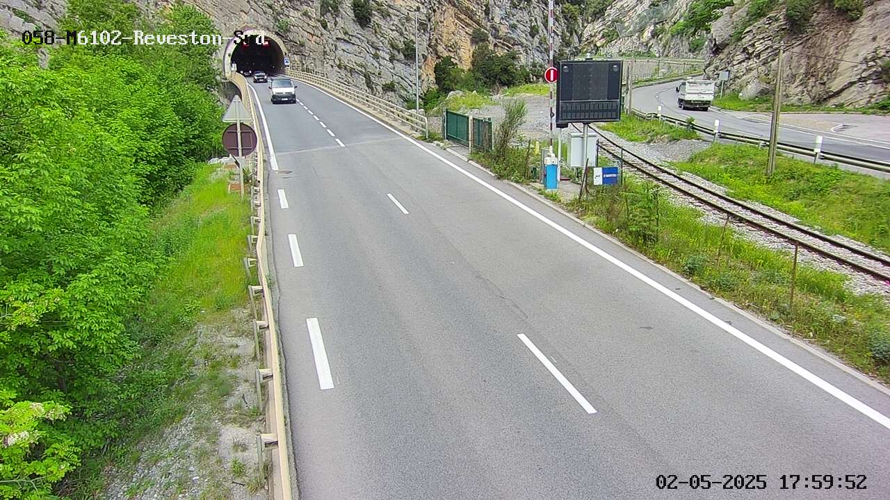

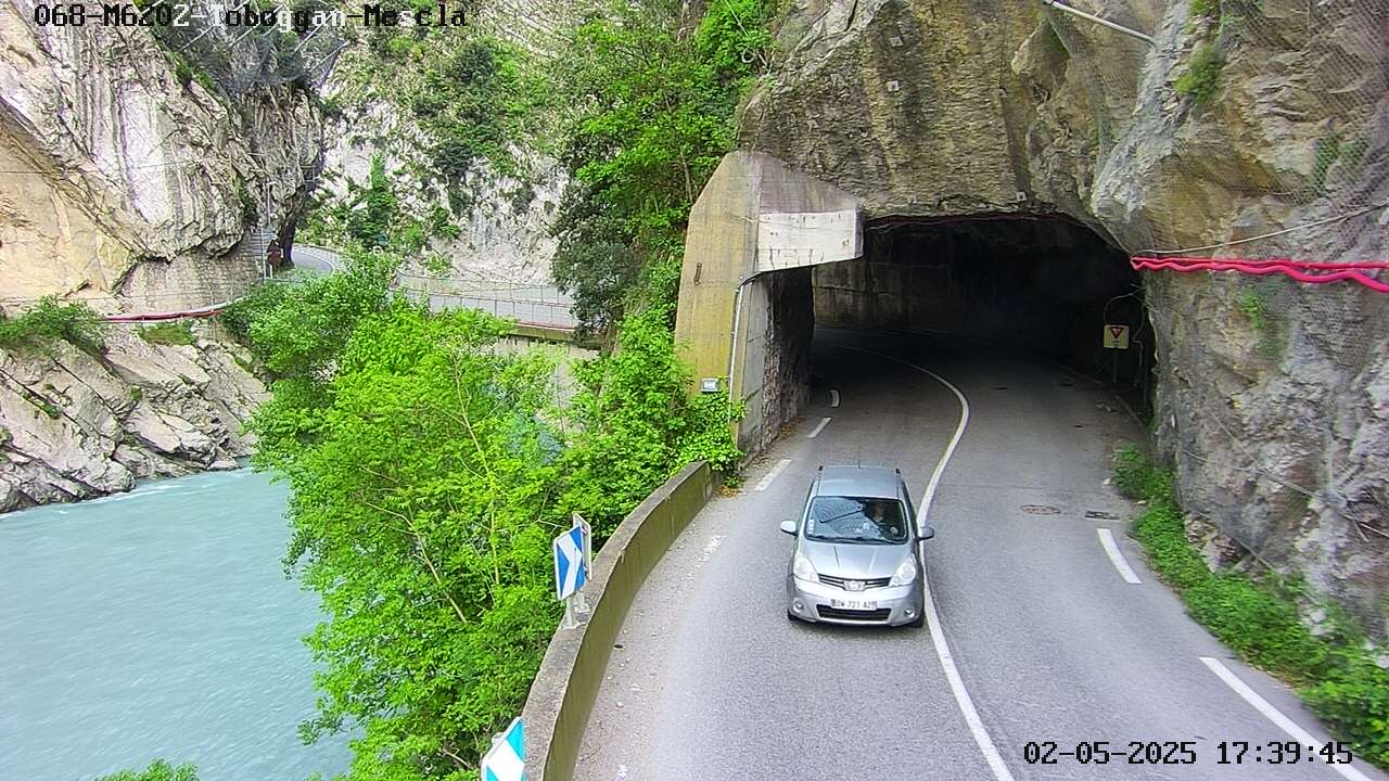

History around Chemin des Révoires
- 2016 Nice truck attack: 86 people are killed and more than 400 others injured in a truck attack in Nice, France, during Bastille Day celebrations2016
- Siege of Nice1543
- 2020 Nice attack2020
- Battle of Villafranca1744
- The Junior Eurovision Song Contest 2023 is held in Nice, France2023
- Tsunami — French Riviera (Ligurian Sea)1979
- Siege of Nice1705
- 2026 Monaco bombing2026
Towns near Chemin des Révoires
- Monaco0.9 km away
- Menton8.8 km away
- Nice12 km away
- Ventimiglia17 km away
- Saint-Laurent-du-Var19 km away
- Cagnes-sur-Mer23 km away