Cima Mughera
1,272 m4,173 ft
Mountain · Garda Mountains · Italy
Die Cima Mughera ist ein Gipfel westlich von Tremosine auf dem namenlosen Bergrücken, der das Valle San Michelle vom Valle di Bondo trennt, und gehört damit zu den Gardaseebergen in Norditalien.
From German Wikipedia, CC BY-SA · Read the article
At the summit · forecast for 2:00 AM
5 °CMostly clear · wind 1 km/h from the NE
 See it in 3D
Weather at the summit of Cima Mughera, 1,272 m
- 2:00 AM5 °CNE 1 km/h–
- 5:00 AM4 °CN 2 km/h–
- 8:00 AM5 °CN 4 km/h–
- 11:00 AM10 °CSE 4 km/h–
- 2:00 PM11 °CS 6 km/h–
- 5:00 PM7 °CSW 3 km/h–
- 8:00 PM5 °CSW 3 km/h–
- 11:00 PM5 °CW 2 km/h–
| Day | Sky | High / low | Rain | Wind up to |
|---|---|---|---|---|
| Today | Clear | 11 °C / 3 °C | – | 6 km/h |
| Wed, Oct 28 | Mostly clear | 13 °C / 5 °C | – | 6 km/h |
| Thu, Oct 29 | Cloudy | 11 °C / 5 °C | – | 9 km/h |
| Fri, Oct 30 | Clear | 10 °C / 5 °C | – | 3 km/h |
| Sat, Oct 31 | Mostly clear | 10 °C / 4 °C | – | 3 km/h |
| Sun, Nov 1 | Clear | 10 °C / 4 °C | 0.1 mm | 4 km/h |
| Mon, Nov 2 | Clear | 12 °C / 3 °C | – | 5 km/h |
Forecast by MET Norway (CC BY 4.0), updated 12:19 AM GMT+1. Times are local.
Facts
- What it is
- Mountain
- Height above sea level
- 1,272 m (4,173 ft)
- Range
- Garda Mountains
- Country
- Italy
- Coordinates
- 45.800°N 10.718°E
- Source
- Wikidata, CC0
Cima Mughera
Berg in den italienischen Alpen
Die Cima Mughera ist ein Gipfel westlich von Tremosine auf dem namenlosen Bergrücken, der das Valle San Michelle vom Valle di Bondo trennt, und gehört damit zu den Gardaseebergen in Norditalien. Die Cima Mughera befindet sich auf dem genannten Bergrücken zwischen den beiden Gipfeln La Cocca südöstlich und dem Monte Zenone nordwestlich.
From German Wikipedia, CC BY-SA · Read the article
Peaks near Cima Mughera
- Monte Tremalzo1,975 m · 4.9 km awayOn the map
- Monte Caplone1,976 m · 6 km awayOn the map
- Cima Valdritta2,218 m · 13 km awayOn the map
- Monte Altissimo di Nago2,078 m · 13 km awayOn the map
- Monte Cadria2,254 m · 16 km awayOn the map
- Monte Pizzocolo1,581 m · 17 km awayOn the map
- Monte Stivo2,059 m · 23 km awayOn the map
- Cornone di Blumone2,843 m · 26 km awayOn the map
- Monte Re di Castello2,889 m · 31 km awayOn the map
- Monte Casale1,632 m · 31 km awayOn the map
Highest in the Garda Mountains
- Cima Valdritta2,218 mOn the map
- Monte Caplone1,976 mOn the map
- Monte Tremalzo1,975 mOn the map
- Monte Campo1,667 mOn the map
- Monte Biaena1,622 mOn the map
- Cima Mughera1,272 mOn the map
- Dosso Piemp1,207 mOn the map
- Cima di Mughera1,161 mOn the map
- Punta Larici907 mOn the map
Highest mountains in Italy
- Mont Blanc4,806 mOn the map
- Lyskamm4,532 mOn the map
- Matterhorn4,478 mOn the map
- Pointe Walker4,208 mOn the map
- Grandes Jorasses4,208 mOn the map
- Dent d'Hérens4,173 mOn the map
- Breithorn4,160 mOn the map
- Cima Mughera1,272 mOn the map
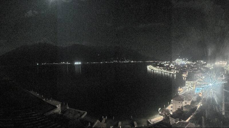
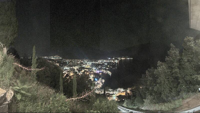
Webcams near Cima Mughera

History around Cima Mughera
Towns near Cima Mughera
- Riva del Garda13 km away
- Rovereto27 km away
- Bussolengo38 km away
- Lumezzane39 km away
- Desenzano del Garda39 km away
- San Sebastiano39 km away