 See it in 3D
Facts
- What it is
- Mountain
- Height above sea level
- 7,172 ft (2,186 m)
- Prominence
- 1,132 ft (345 m)
- Range
- Cascade Range
- Country
- United States
- Coordinates
- 47.962°N 121.361°W
- Source
- Wikidata, CC0
Peaks near Columbia Peak
- Wilmans Peaks6,883 ft · 1.2 km awayOn the map
- Monte Cristo Peak7,136 ft · 1.9 km awayOn the map
- Cadet Peak7,185 ft · 2.8 km awayOn the map
- Sheep Mountain6,166 ft · 8.2 km awayOn the map
- Sloan Peak7,835 ft · 9 km awayOn the map
- Bedal Peak6,522 ft · 12 km awayOn the map
- Sperry Peak6,119 ft · 12 km awayOn the map
- Vesper Peak6,221 ft · 13 km awayOn the map
- Mount Dickerman5,722 ft · 14 km awayOn the map
- Big Four Mountain6,181 ft · 15 km awayOn the map
Highest in the Cascade Range
- Mount Rainier14,400 ftOn the map
- Mount Adams12,280 ftOn the map
- Mount McLoughlin9,495 ftOn the map
- Mount Thielsen9,183 ftOn the map
- Broken Top9,177 ftOn the map
- Black Peak8,976 ftOn the map
- Dome Peak8,921 ftOn the map
- Silver Star Mountain8,875 ftOn the map
- Columbia Peak7,172 ftOn the map
Highest mountains in United States
- Denali20,308 ftOn the map
- Mount Saint Elias18,009 ftOn the map
- Mount Foraker17,402 ftOn the map
- Mount Bona16,535 ftOn the map
- Mount Blackburn16,390 ftOn the map
- Mount Sanford16,237 ftOn the map
- Mount Vancouver15,787 ftOn the map
- Mount Churchill15,636 ftOn the map
- Mount Fairweather15,325 ftOn the map
- Mount Hubbard14,951 ftOn the map
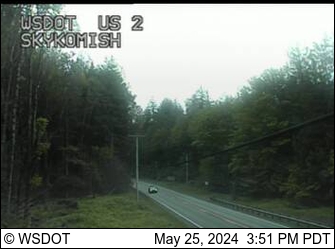
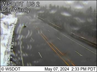
Webcams near Columbia Peak

Towns near Columbia Peak
- Sultan34 km away
- Monroe47 km away
- Granite Falls47 km away
- Lake Stevens53 km away
- Snohomish55 km away
- West Lake Stevens55 km away