Mountains in United States
Convent
5,955 ft1,815 m
Mountain · United States
Convent Mesa, or The Convent, or simply Convent, are alternative names for a 5,955-foot elevation sandstone summit in Grand County of Utah, United States. The Convent is located in Professor Valley, near the city of Moab. It is situated northeast of Parriott Mesa and southwest of the Fisher Towers area.
From Wikipedia, CC BY-SA · Read the article
At the summit · forecast for 5:00 PM
55 °FClear · wind 4 mph from the E
 See it in 3D
Weather at the summit of Convent, 5,955 ft
- 5:00 PM55 °FE 4 mph–
- 8:00 PM45 °FE 3 mph–
- 11:00 PM46 °FSW 2 mph–
- 2:00 AM43 °FW 4 mph–
- 5:00 AM39 °FNE 3 mph–
- 8:00 AM38 °FNE 4 mph–
- 11:00 AM50 °FN 4 mph–
- 2:00 PM57 °FW 5 mph–
| Day | Sky | High / low | Rain | Wind up to |
|---|---|---|---|---|
| Tue, Oct 27 | Clear | 59 °F / 38 °F | – | 10 mph |
| Wed, Oct 28 | Clear | 61 °F / 40 °F | – | 11 mph |
| Thu, Oct 29 | Partly cloudy | 55 °F / 39 °F | – | 5 mph |
| Fri, Oct 30 | Light rain | 55 °F / 41 °F | 0.03 in | 3 mph |
| Sat, Oct 31 | Partly cloudy | 53 °F / 46 °F | 0.21 in | 8 mph |
| Sun, Nov 1 | Rain | 48 °F / 41 °F | 0.82 in | 4 mph |
| Mon, Nov 2 | Mostly clear | 48 °F / 35 °F | 0.03 in | 12 mph |
Forecast by MET Norway (CC BY 4.0), updated 01:17 PM MDT. Times are local.
Facts
- What it is
- Mountain
- Height above sea level
- 5,955 ft (1,815 m)
- Country
- United States
- Coordinates
- 38.683°N 109.385°W
- Source
- Wikidata, CC0
Peaks near Convent
- The Rectory6,565 ft · 3.4 km awayOn the map
- Castleton Tower6,453 ft · 3.8 km awayOn the map
- Tower of Babel4,678 ft · 19 km awayOn the map
- Argon Tower4,750 ft · 20 km awayOn the map
- Mount Waas12,306 ft · 21 km awayOn the map
- Mount Mellenthin12,651 ft · 28 km awayOn the map
- Mount Tukuhnikivatz12,493 ft · 29 km awayOn the map
- Mount Peale12,717 ft · 30 km awayOn the map
- South Mountain11,818 ft · 33 km awayOn the map
- Monster Tower5,835 ft · 51 km awayOn the map
Highest mountains in United States
- Denali20,308 ftOn the map
- Mount Saint Elias18,009 ftOn the map
- Mount Foraker17,402 ftOn the map
- Mount Bona16,535 ftOn the map
- Mount Blackburn16,390 ftOn the map
- Mount Sanford16,237 ftOn the map
- Mount Vancouver15,787 ftOn the map
- Mount Churchill15,636 ftOn the map
- Mount Fairweather15,325 ftOn the map
- Mount Hubbard14,951 ftOn the map
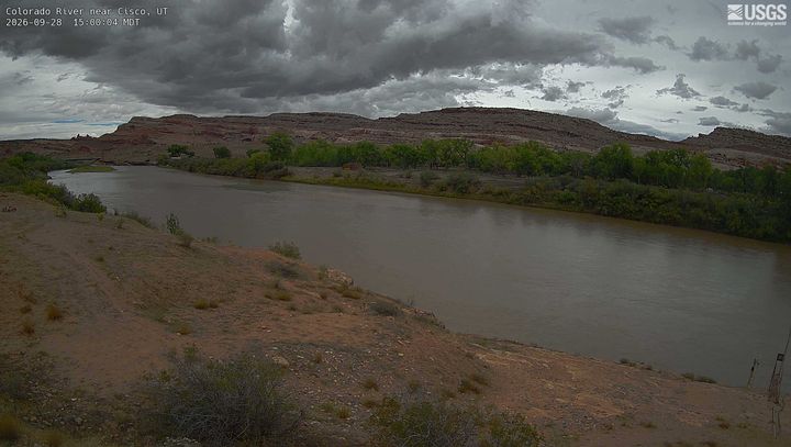
Webcams near Convent

Towns near Convent
- Moab19 km away