Cowboy Mountain
5,853 ft1,784 m
Mountain · Chiwaukum Mountains · United States
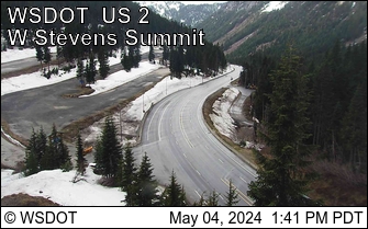
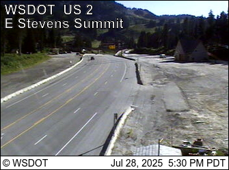
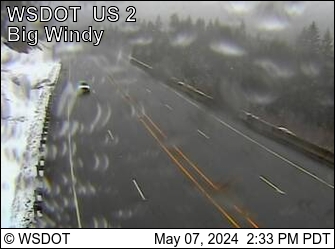
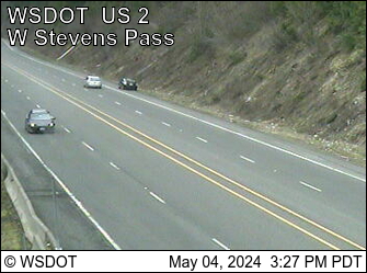
Cowboy Mountain is a 5,853-foot-elevation (1,784-meter) mountain summit located in northeast King County of Washington state. It is situated at Stevens Pass, on land managed by Mount Baker-Snoqualmie National Forest.
From Wikipedia, CC BY-SA · Read the article
At the summit · forecast for 3:00 AM
29 °FFog · wind 4 mph from the SW
 See it in 3D
Weather at the summit of Cowboy Mountain, 5,853 ft
- 3:00 AM29 °FSW 4 mph0 in
- 6:00 AM29 °FSW 4 mph0.02 in
- 9:00 AM30 °FSW 5 mph0.02 in
- 12:00 PM31 °FW 7 mph0.03 in
- 3:00 PM31 °FW 7 mph0.06 in
- 6:00 PM29 °FSW 8 mph0.07 in
- 9:00 PM27 °FSW 11 mph0.14 in
- 12:00 AM26 °FSW 6 mph0.1 in
| Day | Sky | High / low | Rain | Wind up to |
|---|---|---|---|---|
| Today | Light snow | 31 °F / 26 °F | 0.34 in | 13 mph |
| Wed, Oct 28 | Light snow | 29 °F / 20 °F | 0.31 in | 10 mph |
| Thu, Oct 29 | Light snow | 30 °F / 12 °F | 0.13 in | 8 mph |
| Fri, Oct 30 | Clear | 29 °F / 13 °F | 0.03 in | 5 mph |
| Sat, Oct 31 | Cloudy | 29 °F / 22 °F | 0.08 in | 4 mph |
| Sun, Nov 1 | Cloudy | 26 °F / 14 °F | 0.02 in | 4 mph |
| Mon, Nov 2 | Cloudy | 35 °F / 21 °F | – | 7 mph |
Forecast by MET Norway (CC BY 4.0), updated 10:20 PM PDT. Times are local.
Facts
- What it is
- Mountain
- Height above sea level
- 5,853 ft (1,784 m)
- Range
- Chiwaukum Mountains
- Country
- United States
- Coordinates
- 47.732°N 121.099°W
- Source
- Wikidata, CC0
Cowboy Mountain
Mountain in King County, Washington, United States
Cowboy Mountain is a 5,853-foot-elevation (1,784-meter) mountain summit located in northeast King County of Washington state. It is situated at Stevens Pass, on land managed by Mount Baker-Snoqualmie National Forest. This mountain is best known for ski runs on its north slopes which are part of the Stevens Pass Ski Area. Cowboy Mountain is part of the Chiwaukum Mountains, which are a subset of the Cascade Range.
From Wikipedia, CC BY-SA · Read the article
Peaks near Cowboy Mountain
- Jim Hill Mountain6,765 ft · 6.6 km awayOn the map
- Mount McCausland5,748 ft · 7.2 km awayOn the map
- Mount Fernow6,191 ft · 10 km awayOn the map
- Arrowhead Mountain6,030 ft · 10 km awayOn the map
- Beckler Peak5,041 ft · 14 km awayOn the map
- Mount Daniel7,959 ft · 20 km awayOn the map
- Cathedral Rock6,722 ft · 20 km awayOn the map
- Harding Mountain7,172 ft · 24 km awayOn the map
- Baring Mountain6,125 ft · 26 km awayOn the map
- Overcoat Peak7,432 ft · 28 km awayOn the map
Highest in the Chiwaukum Mountains
- Snowgrass Mountain7,992 ftOn the map
- Big Jim Mountain7,762 ftOn the map
- Grindstone Mountain7,533 ftOn the map
- Bulls Tooth6,842 ftOn the map
- Jim Hill Mountain6,765 ftOn the map
- Arrowhead Mountain6,030 ftOn the map
- Cowboy Mountain5,853 ftOn the map
Highest mountains in United States
- Denali20,308 ftOn the map
- Mount Saint Elias18,009 ftOn the map
- Mount Foraker17,402 ftOn the map
- Mount Bona16,535 ftOn the map
- Mount Blackburn16,390 ftOn the map
- Mount Sanford16,237 ftOn the map
- Mount Vancouver15,787 ftOn the map
- Mount Churchill15,636 ftOn the map
- Mount Fairweather15,325 ftOn the map
- Mount Hubbard14,951 ftOn the map