 See it in 3D
Facts
- What it is
- Mountain
- Height above sea level
- 1,205 m (3,953 ft)
- Range
- Śnieżnik Mountains
- Country
- Poland
- Coordinates
- 50.252°N 16.805°E
- Source
- Wikidata, CC0
Peaks near Czarna Góra
- Králický Sněžník1,423 m · 5.8 km awayOn the map
- Klepáč1,145 m · 11 km awayOn the map
- Černava1,103 m · 21 km awayOn the map
- Šerák1,351 m · 23 km awayOn the map
- Suchý vrch995 m · 24 km awayOn the map
- Keprník1,423 m · 24 km awayOn the map
- Černá stráň1,237 m · 24 km awayOn the map
- Ucháč1,010 m · 25 km awayOn the map
- Červená hora1,333 m · 26 km awayOn the map
- Maruša1,043 m · 29 km awayOn the map
Highest in the Śnieżnik Mountains
- Králický Sněžník1,423 mOn the map
- Czarna Góra1,205 mOn the map
- Sviní hora1,074 mOn the map
- Štvanice866 mOn the map
- Zawada808 mOn the map
Highest mountains in Poland
- Świnica2,302 mOn the map
- Kresanica2,122 mOn the map
- Babia Góra1,725 mOn the map
- Sněžka1,603 mOn the map
- Pilsko1,557 mOn the map
- Wielki Szyszak1,510 mOn the map
- Smogornia1,490 mOn the map
- Mały Szyszak1,440 mOn the map
- Králický Sněžník1,423 mOn the map
- Czarna Góra1,205 mOn the map
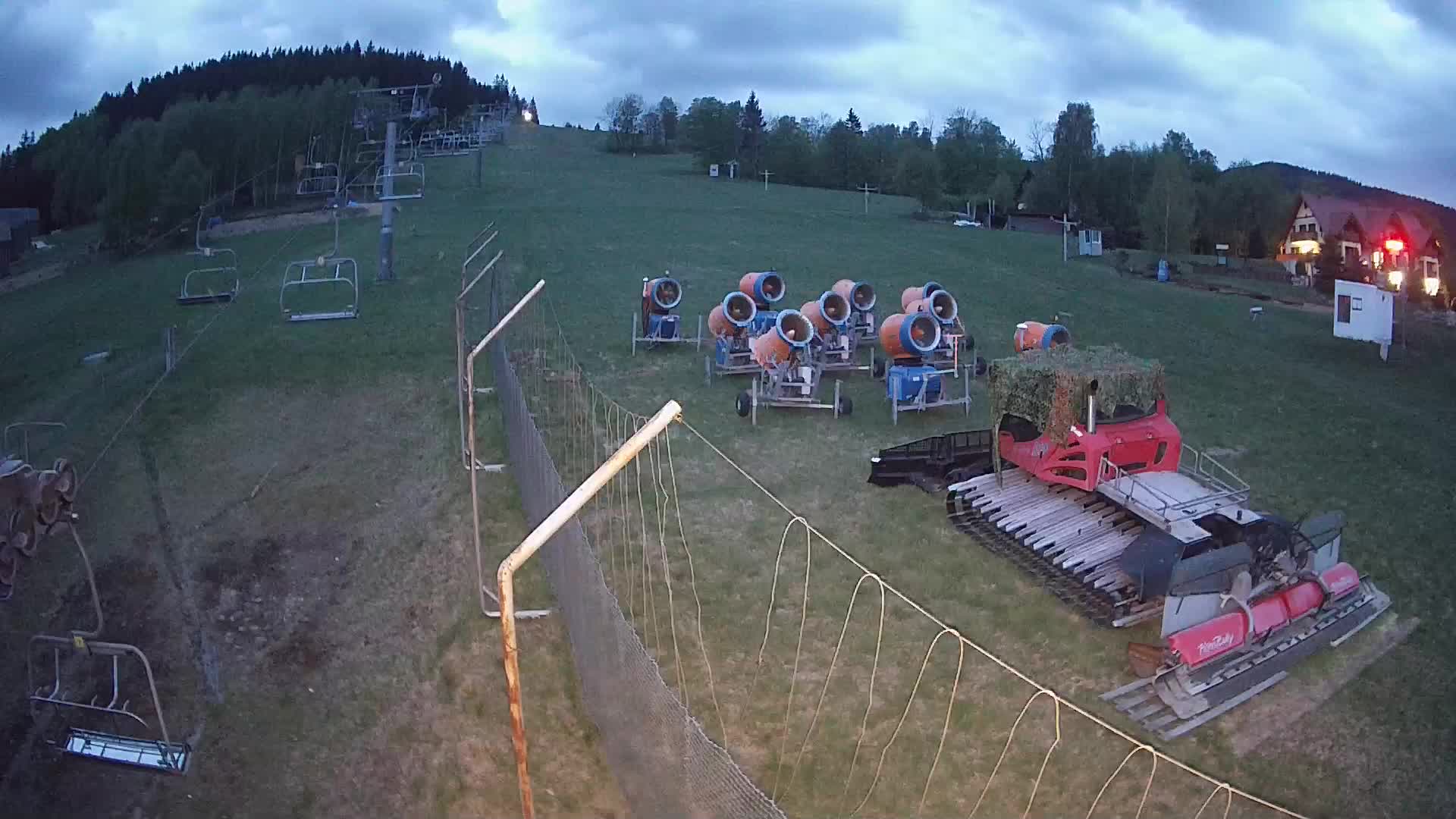
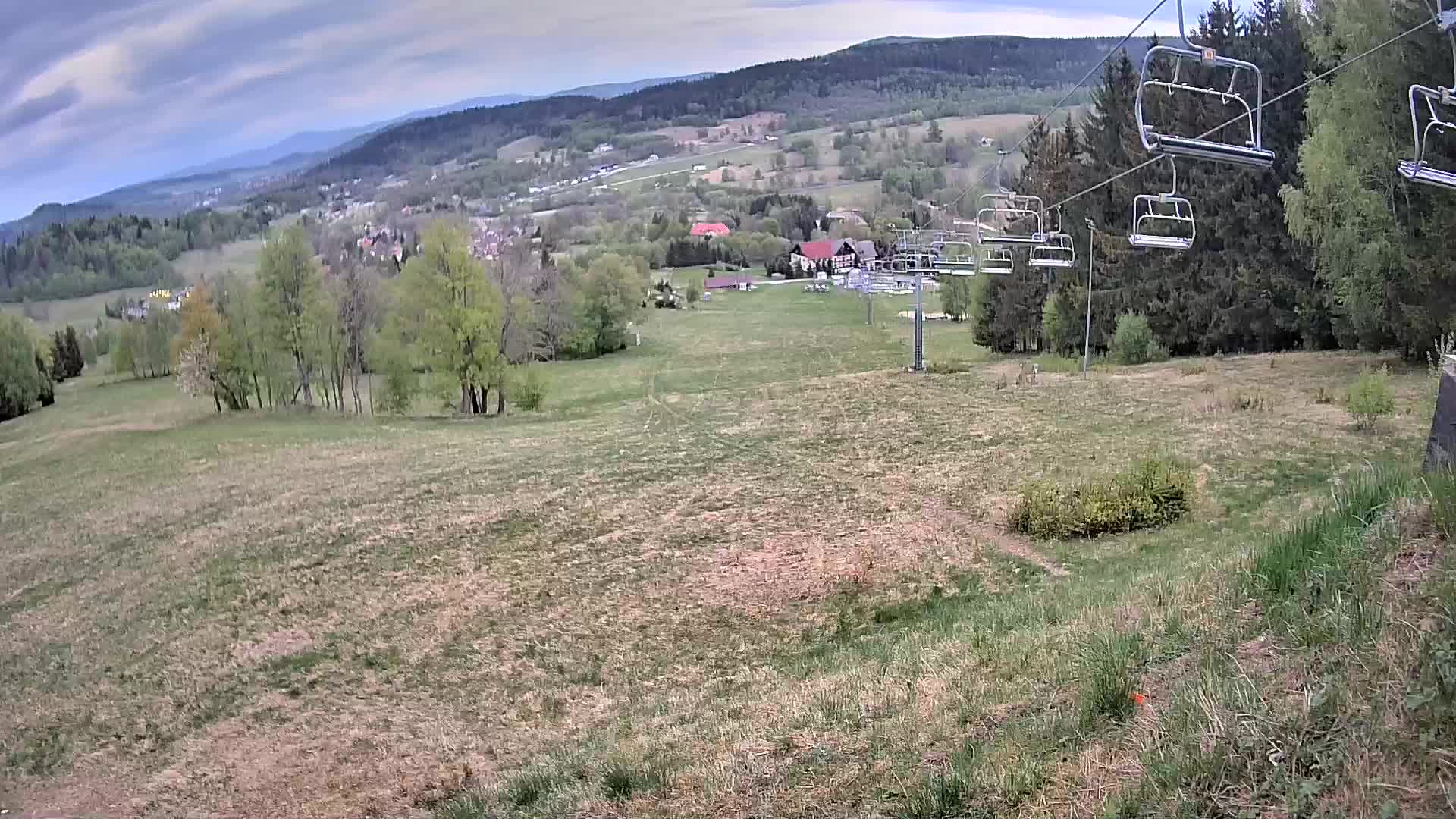
Webcams near Czarna Góra


Towns near Czarna Góra
- Kłodzko23 km away
- Šumperk34 km away
- Ząbkowice Śląskie38 km away
- Głuchołazy42 km away
- Nowa Ruda42 km away
- Nysa45 km away