Mountains in United States
David E Miller Hill
Hill · United States
David E Miller Hill is a summit in Weber County, Utah, United States with an elevation of 4,705 feet (1,434 m). It is located near the southeast edge of Fremont Island in the Great Salt Lake.
From Wikipedia, CC BY-SA · Read the article
At the summit · forecast for 5:00 PM
55 °FPartly cloudy · wind 4 mph from the N
 See it in 3D
David E Miller Hill weather forecast
- 5:00 PM55 °FN 4 mph–
- 8:00 PM54 °FNE 5 mph0.07 in
- 11:00 PM50 °FN 7 mph0.02 in
- 2:00 AM51 °FSW 9 mph0.01 in
- 5:00 AM49 °FSE 7 mph–
- 8:00 AM49 °FN 7 mph–
- 11:00 AM48 °FNE 6 mph–
- 2:00 PM53 °FN 6 mph–
| Day | Sky | High / low | Rain | Wind up to |
|---|---|---|---|---|
| Wed, Oct 28 | Mostly clear | 55 °F / 47 °F | 0.02 in | 9 mph |
| Thu, Oct 29 | Mostly clear | 59 °F / 47 °F | – | 9 mph |
| Fri, Oct 30 | Partly cloudy | 58 °F / 53 °F | 0.08 in | 10 mph |
| Sat, Oct 31 | Mostly clear | 57 °F / 49 °F | 0.32 in | 5 mph |
| Sun, Nov 1 | Rain | 52 °F / 42 °F | 0.92 in | 15 mph |
| Mon, Nov 2 | Clear | 49 °F / 42 °F | – | 12 mph |
| Tue, Nov 3 | Mostly clear | 47 °F / 40 °F | – | 6 mph |
Forecast by MET Norway (CC BY 4.0), updated 01:17 PM MDT. Times are local.
Facts
- What it is
- Hill
- Country
- United States
- Coordinates
- 41.155°N 112.330°W
- Source
- Wikidata, CC0
Peaks near David E Miller Hill
- Willard Peak9,764 ft · 39 km awayOn the map
- Mount OgdenMountain · 38 km awayOn the map
- Ben Lomond MountainMountain · 39 km awayOn the map
- Francis PeakMountain · 43 km awayOn the map
- Bountiful PeakMountain · 48 km awayOn the map
- Ensign PeakMountain · 54 km awayOn the map
- Farnsworth PeakMountain · 56 km awayOn the map
- Avenues Twin PeaksMountain · 57 km awayOn the map
- Grandview PeakMountain · 59 km awayOn the map
- Knee WeakenerMountain · 59 km awayOn the map
Highest mountains in United States
- Denali20,308 ftOn the map
- Mount Saint Elias18,009 ftOn the map
- Mount Foraker17,402 ftOn the map
- Mount Bona16,535 ftOn the map
- Mount Blackburn16,390 ftOn the map
- Mount Sanford16,237 ftOn the map
- Mount Vancouver15,787 ftOn the map
- Mount Churchill15,636 ftOn the map
- Mount Fairweather15,325 ftOn the map
- Mount Hubbard14,951 ftOn the map
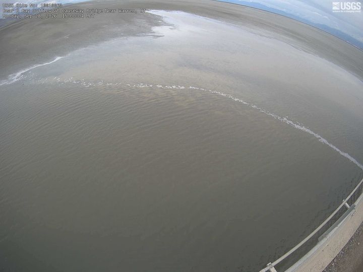
Webcams near David E Miller Hill
History around David E Miller Hill
Towns near David E Miller Hill
- Hooper1.3 km away
- Syracuse23 km away
- Clinton23 km away
- West Haven24 km away
- Roy25 km away
- Clearfield26 km away