Desolation Peak
6,102 ft1,860 m
Mountain · North Cascades · United States
Desolation Peak is in the North Cascade Mountains of Washington state, about 6.2 miles (10.0 km) south of the Canada–United States border and in the Ross Lake National Recreation Area.
From Wikipedia, CC BY-SA · Read the article
At the summit · forecast for 5:00 PM
34 °FSnow · wind 3 mph from the SW
 See it in 3D
Weather at the summit of Desolation Peak, 6,102 ft
- 5:00 PM34 °FSW 3 mph0.05 in
- 8:00 PM32 °FSW 2 mph0.01 in
- 11:00 PM31 °FSW 2 mph–
- 2:00 AM30 °FS 2 mph0.01 in
- 5:00 AM30 °FS 2 mph0.02 in
- 8:00 AM29 °FS 3 mph0.03 in
- 11:00 AM30 °FS 4 mph0.04 in
- 2:00 PM31 °FS 6 mph0.06 in
| Day | Sky | High / low | Rain | Wind up to |
|---|---|---|---|---|
| Tue, Oct 27 | Snow | 31 °F / 25 °F | 0.38 in | 6 mph |
| Wed, Oct 28 | Mostly clear | 29 °F / 18 °F | 0.07 in | 4 mph |
| Thu, Oct 29 | Snow | 28 °F / 17 °F | 0.14 in | 4 mph |
| Fri, Oct 30 | Light snow | 26 °F / 18 °F | 0.17 in | 2 mph |
| Sat, Oct 31 | Partly cloudy | 29 °F / 14 °F | 0 in | 1 mph |
| Sun, Nov 1 | Partly cloudy | 28 °F / 17 °F | – | 2 mph |
| Mon, Nov 2 | Partly cloudy | 37 °F / 22 °F | – | 2 mph |
Forecast by MET Norway (CC BY 4.0), updated 12:17 PM PDT. Times are local.
Facts
- What it is
- Mountain
- Height above sea level
- 6,102 ft (1,860 m)
- Prominence
- 3,249 ft (990 m)
- Range
- North Cascades
- Country
- United States
- Coordinates
- 48.911°N 121.016°W
- Source
- Wikidata, CC0
Desolation Peak (Washington)
Mountain in Washington (state), United States
Desolation Peak is in the North Cascade Mountains of Washington state, about 6.2 miles (10.0 km) south of the Canada–United States border and in the Ross Lake National Recreation Area. It was first climbed in 1926 by Lage Wernstedt, who named it for the destruction caused by a forest fire that swept the slopes bare that same year.
From Wikipedia, CC BY-SA · Read the article
Peaks near Desolation Peak
- Hozomeen Mountain8,071 ft · 7.9 km awayOn the map
- Jack Mountain9,075 ft · 16 km awayOn the map
- Mount Spickard8,980 ft · 18 km awayOn the map
- Mox Peaks8,504 ft · 18 km awayOn the map
- Sourdough Mountain6,111 ft · 20 km awayOn the map
- Luna Peak8,311 ft · 21 km awayOn the map
- Mount Redoubt8,969 ft · 22 km awayOn the map
- Ruby Mountain7,412 ft · 24 km awayOn the map
- Davis Peak7,055 ft · 24 km awayOn the map
- Mount Challenger8,207 ft · 25 km awayOn the map
Highest in the North Cascades
- Glacier Peak10,541 ftOn the map
- Bonanza Peak9,516 ftOn the map
- Goode Mountain9,206 ftOn the map
- Buckner Mountain9,114 ftOn the map
- Mount Logan9,087 ftOn the map
- Eldorado Peak8,868 ftOn the map
- Forbidden Peak8,815 ftOn the map
- Clark Mountain8,602 ftOn the map
- Desolation Peak6,102 ftOn the map
Highest mountains in United States
- Denali20,308 ftOn the map
- Mount Saint Elias18,009 ftOn the map
- Mount Foraker17,402 ftOn the map
- Mount Bona16,535 ftOn the map
- Mount Blackburn16,390 ftOn the map
- Mount Sanford16,237 ftOn the map
- Mount Vancouver15,787 ftOn the map
- Mount Churchill15,636 ftOn the map
- Mount Fairweather15,325 ftOn the map
- Mount Hubbard14,951 ftOn the map
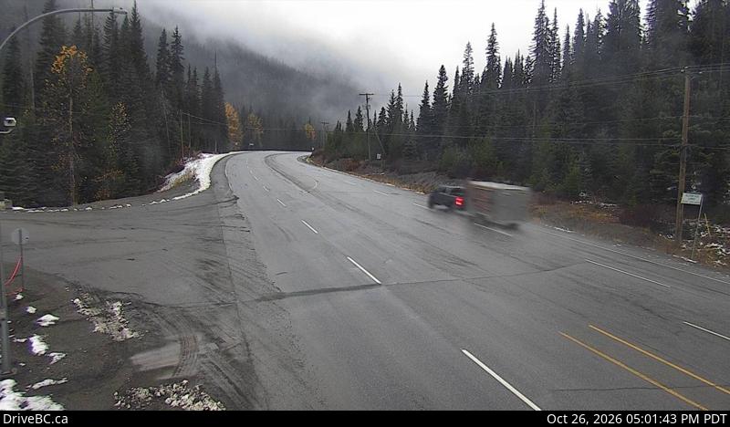
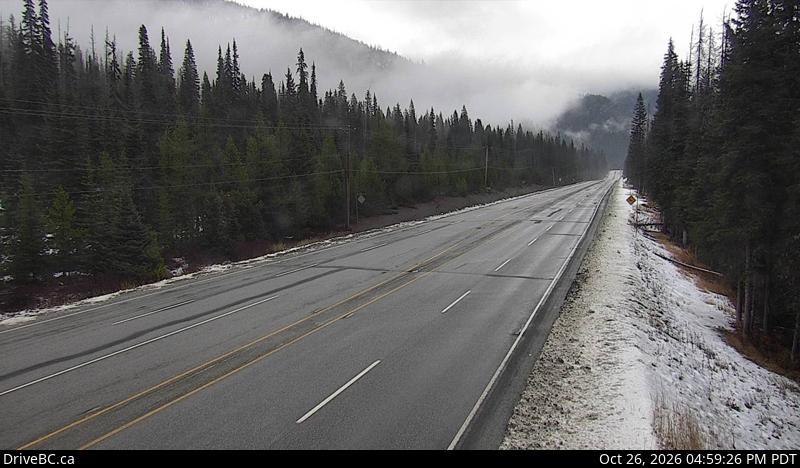
Webcams near Desolation Peak
Towns near Desolation Peak
- Chilliwack74 km away