Devil's Slide
6,499 ft1,981 m
Mountain · Gallatin Range · United States
Devil's Slide is an unusual cliff rock formation on the side of Cinnabar Mountain located in Gallatin National Forest in Park County, Montana, north of Yellowstone National Park.
From Wikipedia, CC BY-SA · Read the article
At the summit · forecast for 5:00 PM
46 °FMostly clear · wind 7 mph from the S
 See it in 3D
Weather at the summit of Devil's Slide, 6,499 ft
- 5:00 PM46 °FS 7 mph0 in
- 8:00 PM37 °FS 8 mph0.08 in
- 11:00 PM35 °FSE 9 mph0.03 in
- 2:00 AM34 °FS 11 mph0.03 in
- 5:00 AM30 °FS 7 mph–
- 8:00 AM31 °FS 8 mph–
- 11:00 AM34 °FS 10 mph–
- 2:00 PM38 °FSW 13 mph–
| Day | Sky | High / low | Rain | Wind up to |
|---|---|---|---|---|
| Tue, Oct 27 | Partly cloudy | 38 °F / 27 °F | 0.05 in | 13 mph |
| Wed, Oct 28 | Partly cloudy | 37 °F / 26 °F | – | 14 mph |
| Thu, Oct 29 | Mostly clear | 42 °F / 26 °F | – | 8 mph |
| Fri, Oct 30 | Rain | 41 °F / 31 °F | 0.1 in | 6 mph |
| Sat, Oct 31 | Light rain | 41 °F / 32 °F | 0.12 in | 4 mph |
| Sun, Nov 1 | Sleet | 37 °F / 30 °F | 0.55 in | 6 mph |
| Mon, Nov 2 | Mostly clear | 35 °F / 20 °F | – | 3 mph |
Forecast by MET Norway (CC BY 4.0), updated 01:16 PM MDT. Times are local.
Facts
- What it is
- Mountain
- Height above sea level
- 6,499 ft (1,981 m)
- Range
- Gallatin Range
- Country
- United States
- Coordinates
- 45.092°N 110.800°W
- Source
- Wikidata, CC0
Devil's Slide (Montana)
Mountain in Montana, United States
Devil's Slide is an unusual cliff rock formation on the side of Cinnabar Mountain located in Gallatin National Forest in Park County, Montana, north of Yellowstone National Park. This distinctive formation can be viewed from Highway 89 and was created from alternate beds of limestone, sandstone, quartzites that have been tilted to lie nearly vertical and have eroded at different rates.
From Wikipedia, CC BY-SA · Read the article
Peaks near Devil's Slide
- Electric Peak10,961 ft · 10 km awayOn the map
- Sepulcher Mountain9,642 ft · 12 km awayOn the map
- Clagett Butte8,041 ft · 15 km awayOn the map
- Terrace Mountain8,002 ft · 16 km awayOn the map
- Joseph Peak10,420 ft · 16 km awayOn the map
- Mount Everts7,844 ft · 17 km awayOn the map
- Gray Peak10,298 ft · 18 km awayOn the map
- Meldrum Mountain9,468 ft · 18 km awayOn the map
- Bunsen Peak8,564 ft · 19 km awayOn the map
- Ash Mountain10,248 ft · 20 km awayOn the map
Highest in the Gallatin Range
- Electric Peak10,961 ftOn the map
- Joseph Peak10,420 ftOn the map
- Mount Holmes10,336 ftOn the map
- Bannock Peak10,292 ftOn the map
- Mount Washburn10,243 ftOn the map
- Mount Blackmore10,154 ftOn the map
- Quadrant Mountain9,954 ftOn the map
- Dunraven Peak9,869 ftOn the map
- Devil's Slide6,499 ftOn the map
Highest mountains in United States
- Denali20,308 ftOn the map
- Mount Saint Elias18,009 ftOn the map
- Mount Foraker17,402 ftOn the map
- Mount Bona16,535 ftOn the map
- Mount Blackburn16,390 ftOn the map
- Mount Sanford16,237 ftOn the map
- Mount Vancouver15,787 ftOn the map
- Mount Churchill15,636 ftOn the map
- Mount Fairweather15,325 ftOn the map
- Mount Hubbard14,951 ftOn the map
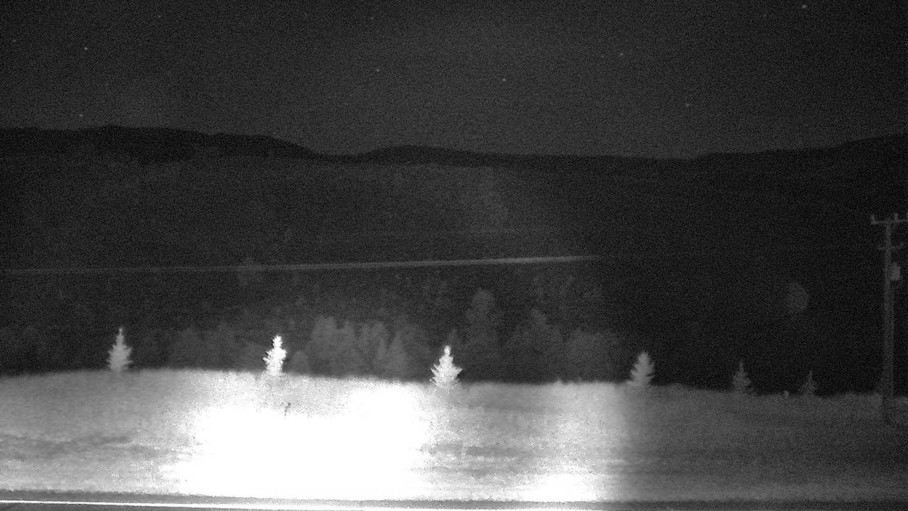
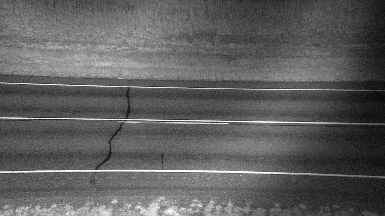
Webcams near Devil's Slide
Towns near Devil's Slide
- Bozeman68 km away