Dirty Harry's Peak
4,724 ft1,440 m
Mountain · United States
Dirty Harry's Peak is a mountain in the state of Washington. It is named for Harry Gault, who once logged the mountain. It is located in the Middle Fork Snoqualmie Natural Resources Conservation Area, near the Washington State Fire Training Academy.
From Wikipedia, CC BY-SA · Read the article
At the summit · forecast for 12:00 PM
35 °FSleet · wind 6 mph from the W
 See it in 3D
Weather at the summit of Dirty Harry's Peak, 4,724 ft
- 12:00 PM35 °FW 6 mph0.09 in
- 3:00 PM35 °FSW 6 mph0.15 in
- 6:00 PM32 °FSW 9 mph0.04 in
- 9:00 PM31 °FSW 9 mph0.17 in
- 12:00 AM29 °FSE 6 mph0.18 in
- 3:00 AM28 °FS 6 mph0.19 in
- 6:00 AM28 °FSW 7 mph0.19 in
- 9:00 AM29 °FS 6 mph0.07 in
| Day | Sky | High / low | Rain | Wind up to |
|---|---|---|---|---|
| Today | Sleet | 35 °F / 29 °F | 0.46 in | 10 mph |
| Wed, Oct 28 | Heavy snow | 31 °F / 23 °F | 0.87 in | 10 mph |
| Thu, Oct 29 | Partly cloudy | 40 °F / 22 °F | 0 in | 9 mph |
| Fri, Oct 30 | Light snow | 31 °F / 19 °F | 0.35 in | 5 mph |
| Sat, Oct 31 | Clear | 36 °F / 20 °F | – | 4 mph |
| Sun, Nov 1 | Partly cloudy | 34 °F / 16 °F | 0.01 in | 3 mph |
| Mon, Nov 2 | Partly cloudy | 42 °F / 19 °F | – | 6 mph |
Forecast by MET Norway (CC BY 4.0), updated 10:17 AM PDT. Times are local.
Facts
- What it is
- Mountain
- Height above sea level
- 4,724 ft (1,440 m)
- Country
- United States
- Coordinates
- 47.451°N 121.621°W
- Source
- Wikidata, CC0
Dirty Harry's Peak
Mountain in the State of Washington, US
Dirty Harry's Peak is a mountain in the state of Washington. It is named for Harry Gault, who once logged the mountain. It is located in the Middle Fork Snoqualmie Natural Resources Conservation Area, near the Washington State Fire Training Academy. The mountain has an elevation of 4,724 feet (1,440 m) and lies along a ridgeline including Mailbox Peak and Dirtybox Peak.
From Wikipedia, CC BY-SA · Read the article
Peaks near Dirty Harry's Peak
- McClellan Butte5,162 ft · 4.9 km awayOn the map
- Bandera Mountain5,245 ft · 7.4 km awayOn the map
- Mount Teneriffe4,788 ft · 8.5 km awayOn the map
- Mount Si4,167 ft · 11 km awayOn the map
- Granite Mountain5,630 ft · 11 km awayOn the map
- Little Si1,576 ft · 11 km awayOn the map
- Chair Peak6,238 ft · 12 km awayOn the map
- Humpback Mountain5,174 ft · 13 km awayOn the map
- Denny Mountain5,518 ft · 13 km awayOn the map
- Snoqualmie Mountain6,278 ft · 15 km awayOn the map
Highest mountains in United States
- Denali20,308 ftOn the map
- Mount Saint Elias18,009 ftOn the map
- Mount Foraker17,402 ftOn the map
- Mount Bona16,535 ftOn the map
- Mount Blackburn16,390 ftOn the map
- Mount Sanford16,237 ftOn the map
- Mount Vancouver15,787 ftOn the map
- Mount Churchill15,636 ftOn the map
- Mount Fairweather15,325 ftOn the map
- Mount Hubbard14,951 ftOn the map
Webcams near Dirty Harry's Peak

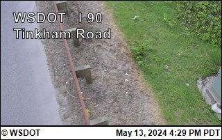
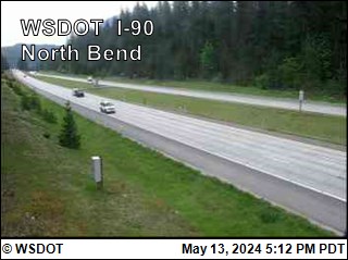
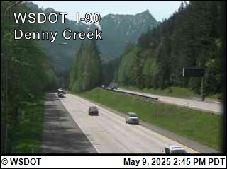
Towns near Dirty Harry's Peak
- Issaquah32 km away
- Maple Valley33 km away
- Black Diamond33 km away
- City of Sammamish36 km away
- West Lake Sammamish39 km away
- Covington39 km away