Mountains in France
Dôme de Barrot
2,137 m7,011 ft
Mountain · Chaîne Côte de l'Ane-Mounier · France
Le dôme de Barrot, culminant à 2 136 mètres, est un sommet faisant partie du secteur alpin des Alpes maritimes. Par extension, il désigne un vaste ensemble montagneux entaillé par les gorges rouges de Daluis à l'ouest, du Cians au centre voire de la Tinée à l'est, dans le département des Alpes-Maritimes.
From French Wikipedia, CC BY-SA · Read the article
At the summit · forecast for 12:00 AM
0 °CPartly cloudy · wind 3 km/h from the NW
 See it in 3D
Weather at the summit of Dôme de Barrot, 2,137 m
- 12:00 AM0 °CNW 3 km/h–
- 3:00 AM0 °CNW 3 km/h–
- 6:00 AM0 °CNW 6 km/h–
- 9:00 AM6 °CNW 5 km/h–
- 12:00 PM10 °CSE 8 km/h–
- 3:00 PM10 °CE 9 km/h–
- 6:00 PM3 °CNE 3 km/h–
- 9:00 PM2 °CNW 3 km/h–
| Day | Sky | High / low | Rain | Wind up to |
|---|---|---|---|---|
| Today | Clear | 11 °C / -0 °C | – | 9 km/h |
| Thu, Oct 29 | Clear | 9 °C / -3 °C | – | 8 km/h |
| Fri, Oct 30 | Partly cloudy | 7 °C / -2 °C | 0.2 mm | 8 km/h |
| Sat, Oct 31 | Clear | 7 °C / -4 °C | – | 8 km/h |
| Sun, Nov 1 | Clear | 8 °C / -6 °C | – | 5 km/h |
| Mon, Nov 2 | Mostly clear | 6 °C / -1 °C | 0.1 mm | 4 km/h |
| Tue, Nov 3 | Clear | 5 °C / -2 °C | – | 4 km/h |
Forecast by MET Norway (CC BY 4.0), updated 08:17 PM GMT+1. Times are local.
Facts
- What it is
- Mountain
- Height above sea level
- 2,137 m (7,011 ft)
- Range
- Chaîne Côte de l'Ane-Mounier
- Country
- France
- Coordinates
- 44.036°N 6.916°E
- Source
- Wikidata, CC0
Peaks near Dôme de Barrot
- Mont Mounier2,817 m · 13 km awayOn the map
- Testa Malinvern2,939 m · 28 km awayOn the map
- Mont Pelat3,051 m · 31 km awayOn the map
- Cime de la Bonette2,860 m · 33 km awayOn the map
- Cimet3,020 m · 33 km awayOn the map
- Monte Matto3,097 m · 34 km awayOn the map
- Cima di Nasta3,108 m · 34 km awayOn the map
- Cima del Baus3,067 m · 35 km awayOn the map
- Cima Genova3,191 m · 35 km awayOn the map
- Monte Argentera3,297 m · 35 km awayOn the map
Highest in the Chaîne Côte de l'Ane-Mounier
- Côte de l'Âne2,916 mOn the map
- Mont Mounier2,817 mOn the map
- Roche Grande2,752 mOn the map
- Cime de Pal2,588 mOn the map
- Dôme de Barrot2,137 mOn the map
Highest mountains in France
- Mont Blanc4,806 mOn the map
- Pointe Walker4,208 mOn the map
- Grandes Jorasses4,208 mOn the map
- Aiguille Verte4,122 mOn the map
- Barre des Écrins4,102 mOn the map
- Meije3,983 mOn the map
- Ailefroide3,954 mOn the map
- Mont Pelvoux3,946 mOn the map
- Pic Sans Nom3,913 mOn the map
- Aiguille de Tré la Tête3,911 mOn the map
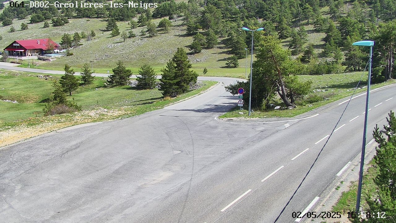
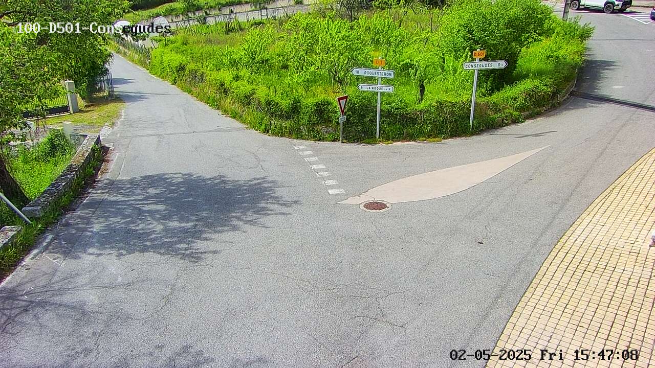
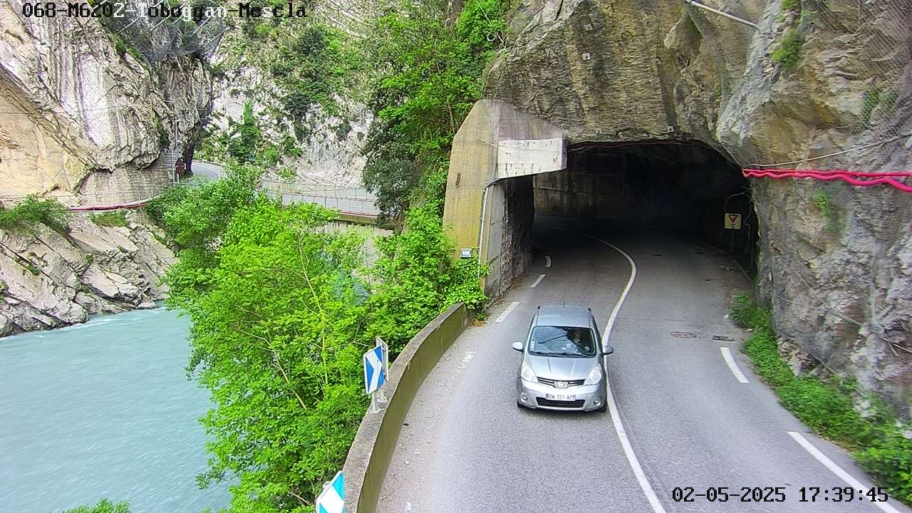
Webcams near Dôme de Barrot
Towns near Dôme de Barrot
- Vence38 km away
- Grasse42 km away
- Cagnes-sur-Mer45 km away
- Saint-Laurent-du-Var46 km away
- Nice46 km away
- Mougins49 km away