Facts
- What it is
- Mountain
- Height above sea level
- 7,282 ft (2,220 m)
- Range
- Stuart Range
- Country
- United States
- Coordinates
- 47.515°N 120.757°W
- Source
- Wikidata, CC0
Peaks near Edward Peak
- Cannon Mountain8,652 ft · 3.6 km awayOn the map
- Prusik Peak8,000 ft · 3.7 km awayOn the map
- Enchantment Peak8,520 ft · 4.8 km awayOn the map
- Dragontail Peak8,825 ft · 7 km awayOn the map
- Argonaut Peak8,457 ft · 9.3 km awayOn the map
- Mount Stuart9,413 ft · 12 km awayOn the map
- Ingalls Peak7,661 ft · 15 km awayOn the map
- Harding Mountain7,172 ft · 17 km awayOn the map
- Hawkins Mountain7,160 ft · 20 km awayOn the map
- Cape Horn7,316 ft · 20 km awayOn the map
Highest in the Stuart Range
- Mount Stuart9,413 ftOn the map
- Edward Peak7,282 ftOn the map
Highest mountains in United States
- Denali20,308 ftOn the map
- Mount Saint Elias18,009 ftOn the map
- Mount Foraker17,402 ftOn the map
- Mount Bona16,535 ftOn the map
- Mount Blackburn16,390 ftOn the map
- Mount Sanford16,237 ftOn the map
- Mount Vancouver15,787 ftOn the map
- Mount Churchill15,636 ftOn the map
- Mount Fairweather15,325 ftOn the map
- Mount Hubbard14,951 ftOn the map
Webcams near Edward Peak
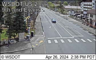
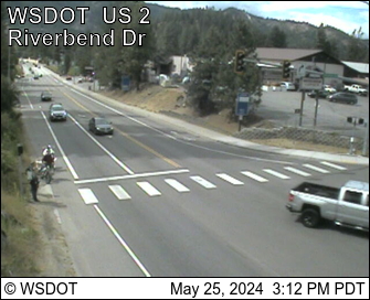
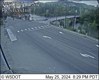
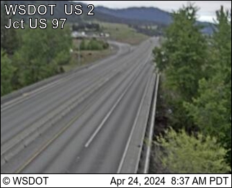
History around Edward Peak
Towns near Edward Peak
- Leavenworth11 km away
- Wenatchee35 km away
- East Wenatchee37 km away
- Cle Elum39 km away
- Roslyn40 km away
- Rock Island49 km away