Esther Mountain
4,239 ft1,292 m
Mountain · Adirondack Mountains · United States
Esther Mountain is a mountain in the Adirondacks in the U.S. state of New York. It is the 28th-highest of the Adirondack High Peaks, with an elevation of 4,240 feet (1,290 m). The mountain is located in the Wilmington Wild Forest in the town of Wilmington in Essex County.
From Wikipedia, CC BY-SA · Read the article
At the summit · forecast for 9:00 PM
31 °FMostly clear · wind 8 mph from the NW
 See it in 3D
Weather at the summit of Esther Mountain, 4,239 ft
- 9:00 PM31 °FNW 8 mph–
- 12:00 AM25 °FNW 6 mph–
- 3:00 AM22 °FNW 5 mph–
- 6:00 AM19 °FNW 4 mph–
- 9:00 AM24 °FNW 3 mph–
- 12:00 PM32 °FN 2 mph–
- 3:00 PM36 °FNW 4 mph–
- 6:00 PM27 °FNW 4 mph–
| Day | Sky | High / low | Rain | Wind up to |
|---|---|---|---|---|
| Tue, Oct 27 | Clear | 36 °F / 19 °F | – | 6 mph |
| Wed, Oct 28 | Cloudy | 46 °F / 20 °F | – | 9 mph |
| Thu, Oct 29 | Clear | 55 °F / 34 °F | 0.06 in | 12 mph |
| Fri, Oct 30 | Partly cloudy | 44 °F / 33 °F | 0.02 in | 13 mph |
| Sat, Oct 31 | Partly cloudy | 41 °F / 27 °F | – | 9 mph |
| Sun, Nov 1 | Partly cloudy | 54 °F / 23 °F | – | 7 mph |
| Mon, Nov 2 | Rain | 44 °F / 38 °F | 0.44 in | 8 mph |
Forecast by MET Norway (CC BY 4.0), updated 09:17 PM EDT. Times are local.
Facts
- What it is
- Mountain
- Height above sea level
- 4,239 ft (1,292 m)
- Prominence
- 302 ft (92 m)
- Range
- Adirondack Mountains
- Country
- United States
- Coordinates
- 44.387°N 73.890°W
- Source
- Wikidata, CC0
Esther Mountain
Mountain in New York, United States
Esther Mountain is a mountain in the Adirondacks in the U.S. state of New York. It is the 28th-highest of the Adirondack High Peaks, with an elevation of 4,240 feet (1,290 m). The mountain is located in the Wilmington Wild Forest in the town of Wilmington in Essex County. It is adjacent to Whiteface Mountain and is the northernmost of the High Peaks.
From Wikipedia, CC BY-SA · Read the article
Peaks near Esther Mountain
- Whiteface Mountain4,867 ft · 2.6 km awayOn the map
- McKenzie Mountain3,861 ft · 13 km awayOn the map
- Pitchoff Mountain3,600 ft · 17 km awayOn the map
- Jay Mountain3,600 ft · 17 km awayOn the map
- Baker Mountain2,452 ft · 18 km awayOn the map
- Cascade Mountain4,098 ft · 19 km awayOn the map
- Porter Mountain4,059 ft · 20 km awayOn the map
- Mount Van Hoevenberg2,939 ft · 20 km awayOn the map
- Scarface Mountain3,088 ft · 20 km awayOn the map
- Hurricane Mountain3,678 ft · 22 km awayOn the map
Highest in the Adirondack Mountains
- Mount Marcy5,344 ftOn the map
- Whiteface Mountain4,867 ftOn the map
- Giant Mountain4,627 ftOn the map
- Table Top Mountain4,427 ftOn the map
- Big Slide Mountain4,240 ftOn the map
- Esther Mountain4,239 ftOn the map
- Cascade Mountain4,098 ftOn the map
- Snowy Mountain3,899 ftOn the map
- Lyon Mountain3,839 ftOn the map
Highest mountains in United States
- Denali20,308 ftOn the map
- Mount Saint Elias18,009 ftOn the map
- Mount Foraker17,402 ftOn the map
- Mount Bona16,535 ftOn the map
- Mount Blackburn16,390 ftOn the map
- Mount Sanford16,237 ftOn the map
- Mount Vancouver15,787 ftOn the map
- Mount Churchill15,636 ftOn the map
- Mount Fairweather15,325 ftOn the map
- Mount Hubbard14,951 ftOn the map
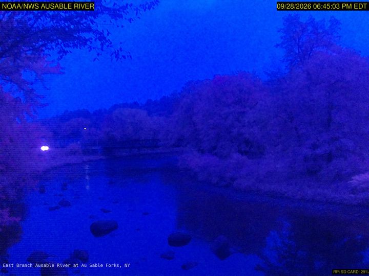
Webcams near Esther Mountain



History around Esther Mountain
Towns near Esther Mountain
- Saranac Lake20 km away
- Plattsburgh49 km away
- Burlington55 km away
- South Burlington58 km away
- Malone60 km away
- Colchester61 km away