 See it in 3D
Facts
- What it is
- Mountain
- Height above sea level
- 3,029 m (9,938 ft)
- Range
- Lasörling Group
- Country
- Austria
- Coordinates
- 46.974°N 12.305°E
- Source
- Wikidata, CC0
Peaks near Finsterkarspitze
- Rötspitze3,496 m · 9.6 km awayOn the map
- Dreiherrnspitze3,499 m · 12 km awayOn the map
- Hochgall3,436 m · 14 km awayOn the map
- Rainerhorn3,559 m · 15 km awayOn the map
- Großvenediger3,657 m · 15 km awayOn the map
- Schneebiger Nock3,358 m · 18 km awayOn the map
- Großer Muntanitz3,232 m · 24 km awayOn the map
- Großer Löffler3,379 m · 30 km awayOn the map
- Glocknerwand3,721 m · 31 km awayOn the map
- Grossglockner3,798 m · 32 km awayOn the map
Highest in the Lasörling Group
- Finsterkarspitze3,029 mOn the map
- Kastal2,776 mOn the map
- Großer Zunig2,775 mOn the map
- Kreuzberg2,743 mOn the map
- Berger Kogel2,656 mOn the map
Highest mountains in Austria
- Grossglockner3,798 mOn the map
- Wildspitze3,768 mOn the map
- Weißkugel3,738 mOn the map
- Großvenediger3,657 mOn the map
- Hintere Schwärze3,624 mOn the map
- Großes Wiesbachhorn3,564 mOn the map
- Ramolkogel3,549 mOn the map
- Schalfkogel3,537 mOn the map
- Watzespitze3,532 mOn the map
- Fineilspitze3,514 mOn the map
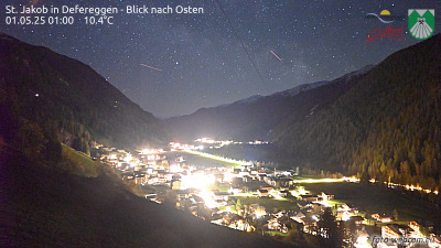
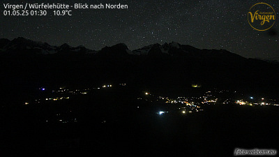
Webcams near Finsterkarspitze



Towns near Finsterkarspitze
- Bressanone57 km away
- Saalfelden am Steinernen Meer65 km away
- Innsbruck76 km away