 See it in 3D
Facts
- What it is
- Mountain
- Height above sea level
- 3,494 m (11,463 ft)
- Prominence
- 256 m (840 ft)
- Isolation
- 2.4 km to higher ground
- Range
- Weißkamm
- Parent peak
- Hochvernagtspitze
- Country
- Austria
- Coordinates
- 46.858°N 10.793°E
- Source
- Wikidata, CC0
Peaks near Fluchtkogel
- Wildspitze3,768 m · 6.5 km awayOn the map
- Weißkugel3,738 m · 8.4 km awayOn the map
- Äußerer Bärenbartkogel3,473 m · 9.8 km awayOn the map
- Schwemser Spitze3,459 m · 10 km awayOn the map
- Similaun3,597 m · 12 km awayOn the map
- Hintere Schwärze3,624 m · 13 km awayOn the map
- Saldurspitze3,433 m · 14 km awayOn the map
- Zuckerhütl3,507 m · 30 km awayOn the map
- Muttler3,294 m · 32 km awayOn the map
- Parseierspitze3,036 m · 42 km awayOn the map
Parent peak
The nearest higher peak its prominence is measured to.
- Hochvernagtspitze3,535 mOn the map
Peaks below Fluchtkogel
- Ehrichspitze3,420 mOn the map
Highest in the Weißkamm
- Wildspitze3,768 mOn the map
- Weißkugel3,738 mOn the map
- Weißseespitze3,498 mOn the map
- Fluchtkogel3,494 mOn the map
Highest mountains in Austria
- Grossglockner3,798 mOn the map
- Wildspitze3,768 mOn the map
- Weißkugel3,738 mOn the map
- Großvenediger3,657 mOn the map
- Hintere Schwärze3,624 mOn the map
- Großes Wiesbachhorn3,564 mOn the map
- Ramolkogel3,549 mOn the map
- Schalfkogel3,537 mOn the map
- Watzespitze3,532 mOn the map
- Fineilspitze3,514 mOn the map
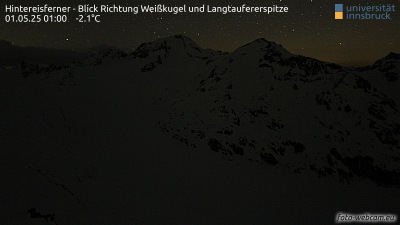
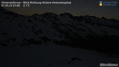
Webcams near Fluchtkogel



Towns near Fluchtkogel
- Merano35 km away
- Telfs54 km away
- Bolzano58 km away
- Innsbruck64 km away
- Bressanone68 km away
- Garmisch-Partenkirchen74 km away