Mountains in Austria
Fronberg
592 m1,942 ft
Mountain · Bohemian Massif · Austria
Der Fronberg ist ein 592 m ü. A. hoher Berg im Sauwald in Oberösterreich. Er liegt in der Gemeinde Schardenberg und ist einer der Hausberge von Passau. Auf dem Berg befindet sich der ORF-Sender Schardenberg. Östlich des Gipfels befindet sich im Fronwald die Fatima-Wallfahrtskapelle.
From German Wikipedia, CC BY-SA · Read the article
At the summit · forecast for 1:00 AM
3 °CClear · wind 11 km/h from the E
 See it in 3D
Weather at the summit of Fronberg, 592 m
- 1:00 AM3 °CE 11 km/h–
- 4:00 AM2 °CE 12 km/h–
- 7:00 AM4 °CE 13 km/h–
- 10:00 AM6 °CE 13 km/h–
- 1:00 PM11 °CSE 13 km/h–
- 4:00 PM10 °CE 13 km/h–
- 7:00 PM7 °CE 17 km/h–
- 10:00 PM6 °CE 14 km/h–
| Day | Sky | High / low | Rain | Wind up to |
|---|---|---|---|---|
| Today | Clear | 11 °C / 2 °C | – | 17 km/h |
| Wed, Oct 28 | Heavy rain | 9 °C / 2 °C | 8.2 mm | 14 km/h |
| Thu, Oct 29 | Partly cloudy | 9 °C / 4 °C | – | 8 km/h |
| Fri, Oct 30 | Clear | 9 °C / 2 °C | – | 5 km/h |
| Sat, Oct 31 | Cloudy | 5 °C / 2 °C | – | 8 km/h |
| Sun, Nov 1 | Partly cloudy | 7 °C / 2 °C | – | 5 km/h |
| Mon, Nov 2 | Cloudy | 6 °C / 2 °C | – | 5 km/h |
Forecast by MET Norway (CC BY 4.0), updated 08:16 PM GMT+1. Times are local.
Facts
- What it is
- Mountain
- Height above sea level
- 592 m (1,942 ft)
- Range
- Bohemian Massif
- Country
- Austria
- Coordinates
- 48.521°N 13.489°E
- Source
- Wikidata, CC0
Peaks near Fronberg
- Staffelberg793 m · 19 km awayOn the map
- Haidel1,166 m · 36 km awayOn the map
- Geißlstein906 m · 36 km awayOn the map
- Mayrhofberg654 m · 37 km awayOn the map
- Dreisesselberg1,333 m · 37 km awayOn the map
- Bayerischer Plöckenstein1,362 m · 37 km awayOn the map
- Plechý / Plöckenstein1,379 m · 39 km awayOn the map
- Büchelstein832 m · 39 km awayOn the map
- Hochficht1,338 m · 40 km awayOn the map
- Bärenstein1,077 m · 41 km awayOn the map
Highest in the Bohemian Massif
- Brockenberg1,053 mOn the map
- Jauerling960 mOn the map
- Wachtstein958 mOn the map
- Breitenstein956 mOn the map
- Predigtberg892 mOn the map
- Herrgottsitz855 mOn the map
- Guttenberg855 mOn the map
- Johannesberg839 mOn the map
- Fronberg592 mOn the map
Highest mountains in Austria
- Grossglockner3,798 mOn the map
- Wildspitze3,768 mOn the map
- Weißkugel3,738 mOn the map
- Großvenediger3,657 mOn the map
- Hintere Schwärze3,624 mOn the map
- Großes Wiesbachhorn3,564 mOn the map
- Ramolkogel3,549 mOn the map
- Schalfkogel3,537 mOn the map
- Watzespitze3,532 mOn the map
- Fineilspitze3,514 mOn the map
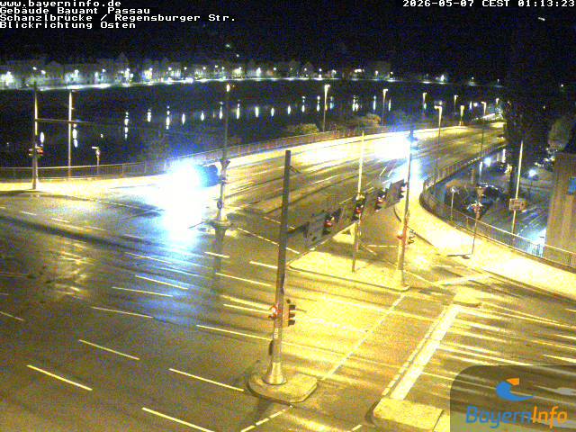
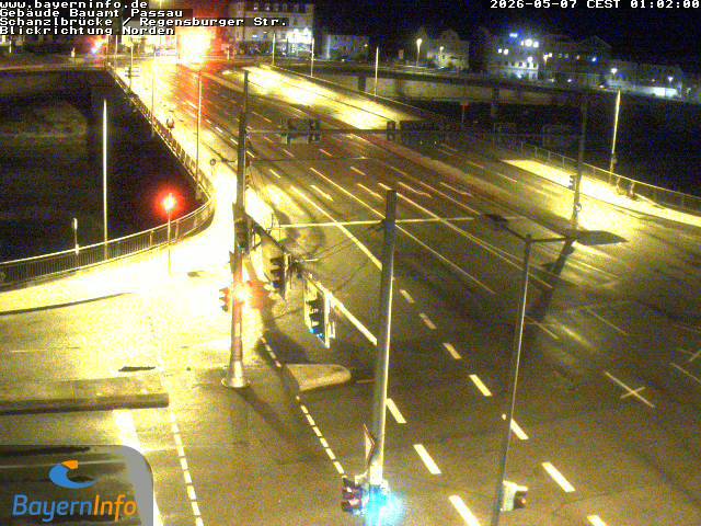
Webcams near Fronberg


History around Fronberg
Towns near Fronberg
- Passau6.6 km away
- Vilshofen25 km away
- Deggendorf53 km away
- Wels56 km away
- Burghausen62 km away
- Linz63 km away