Mountains in Italy
See it in 3DFurggubäumhorn
2,985 m9,793 ft
Mountain · grupo del monte Leone · Italy · Switzerland
The Furggubäumhorn is a mountain of the Lepontine Alps, which is located on the main chain of the Alps, approximately halfway between the Wasenhorn and the Bortelhorn on the border between Switzerland and Italy.
From Wikipedia, CC BY-SA · Read the article
At the summit · forecast for 11:00 PM
-7 °CFog · wind 6 km/h from the N
Weather at the summit of Furggubäumhorn, 2,985 m
- 11:00 PM-7 °CN 6 km/h–
- 2:00 AM-9 °CNW 6 km/h–
- 5:00 AM-6 °CNW 7 km/h–
- 8:00 AM-5 °CNW 7 km/h–
- 11:00 AM2 °CW 7 km/h–
- 2:00 PM4 °CNW 8 km/h–
- 5:00 PM-0 °CNW 4 km/h–
- 8:00 PM-8 °CN 6 km/h–
| Day | Sky | High / low | Rain | Wind up to |
|---|---|---|---|---|
| Wed, Oct 28 | Mostly clear | 4 °C / -11 °C | – | 8 km/h |
| Thu, Oct 29 | Clear | 4 °C / -11 °C | – | 6 km/h |
| Fri, Oct 30 | Clear | 2 °C / -6 °C | – | 7 km/h |
| Sat, Oct 31 | Clear | 3 °C / -9 °C | – | 4 km/h |
| Sun, Nov 1 | Clear | 5 °C / -8 °C | – | 3 km/h |
| Mon, Nov 2 | Clear | 5 °C / -8 °C | – | 6 km/h |
| Tue, Nov 3 | Partly cloudy | 4 °C / -12 °C | – | 8 km/h |
Forecast by MET Norway (CC BY 4.0), updated 08:17 PM GMT+1. Times are local.
Facts
- What it is
- Mountain
- Height above sea level
- 2,985 m (9,793 ft)
- Range
- grupo del monte Leone
- Countries
- Italy, Switzerland
- Coordinates
- 46.280°N 8.106°E
- Source
- Wikidata, CC0
Peaks near Furggubäumhorn
- Monte Leone3,553 m · 3.4 km awayOn the map
- Lagginhorn4,010 m · 16 km awayOn the map
- Weissmies4,013 m · 18 km awayOn the map
- Nesthorn3,820 m · 20 km awayOn the map
- Aletschhorn4,194 m · 22 km awayOn the map
- Bietschhorn3,934 m · 23 km awayOn the map
- Gross Wannenhorn3,906 m · 24 km awayOn the map
- Nadelhorn4,327 m · 27 km awayOn the map
- Stecknadelhorn4,240 m · 27 km awayOn the map
- Dürrenhorn4,035 m · 27 km awayOn the map
Highest in the grupo del monte Leone
- Wasenhorn3,246 mOn the map
- Bortelhorn3,194 mOn the map
- Hübschhorn3,192 mOn the map
- Bättlihorn2,991 mOn the map
- Furggubäumhorn2,985 mOn the map
- Fülhorn2,736 mOn the map
Highest mountains in Italy
- Mont Blanc4,806 mOn the map
- Lyskamm4,532 mOn the map
- Matterhorn4,478 mOn the map
- Pointe Walker4,208 mOn the map
- Grandes Jorasses4,208 mOn the map
- Dent d'Hérens4,173 mOn the map
- Breithorn4,160 mOn the map
- Furggubäumhorn2,985 mOn the map
Webcams near Furggubäumhorn


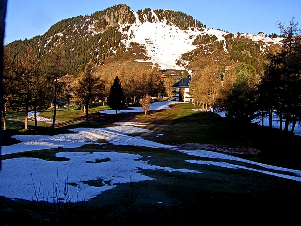

History around Furggubäumhorn
Towns near Furggubäumhorn
- Domodossola23 km away
- Sierre44 km away
- Pallanza-Intra-Suna52 km away
- Verbania53 km away
- Locarno55 km away
- Sitten58 km away