Mountains in Austria
Gelbes Hörnl
3,003 m9,852 ft
Mountain · Glockner Group · Austria
Das Gelbe Hörnl ist ein 3003 m ü. A. hoher Berggipfel der Glocknergruppe in Osttirol. Die Erstbesteigung durch Nord-Süd-Überschreitung des Langen Grats erfolgte am 13. August 1927 durch K. Folta und R. Neumann.
From German Wikipedia, CC BY-SA · Read the article
 See it in 3D
Facts
- What it is
- Mountain
- Height above sea level
- 3,003 m (9,852 ft)
- Range
- Glockner Group
- Country
- Austria
- Coordinates
- 47.060°N 12.653°E
- Source
- Wikidata, CC0
Peaks near Gelbes Hörnl
- Glocknerwand3,721 m · 3.3 km awayOn the map
- Grossglockner3,798 m · 3.5 km awayOn the map
- Großer Muntanitz3,232 m · 5.1 km awayOn the map
- Johannisberg3,453 m · 5.7 km awayOn the map
- Großes Wiesbachhorn3,564 m · 13 km awayOn the map
- Kitzsteinhorn3,203 m · 14 km awayOn the map
- Hoher Tenn3,368 m · 15 km awayOn the map
- Hocharn3,254 m · 22 km awayOn the map
- Rainerhorn3,559 m · 22 km awayOn the map
- Großvenediger3,657 m · 24 km awayOn the map
Highest in the Glockner Group
- Grossglockner3,798 mOn the map
- Großes Wiesbachhorn3,564 mOn the map
- Hoher Tenn3,368 mOn the map
- Fuscherkarkopf3,331 mOn the map
- Schwerteck3,247 mOn the map
- Hocheiser3,206 mOn the map
- Kitzsteinhorn3,203 mOn the map
- Gelbes Hörnl3,003 mOn the map
Highest mountains in Austria
- Grossglockner3,798 mOn the map
- Wildspitze3,768 mOn the map
- Weißkugel3,738 mOn the map
- Großvenediger3,657 mOn the map
- Hintere Schwärze3,624 mOn the map
- Großes Wiesbachhorn3,564 mOn the map
- Ramolkogel3,549 mOn the map
- Schalfkogel3,537 mOn the map
- Watzespitze3,532 mOn the map
- Fineilspitze3,514 mOn the map
Webcams near Gelbes Hörnl
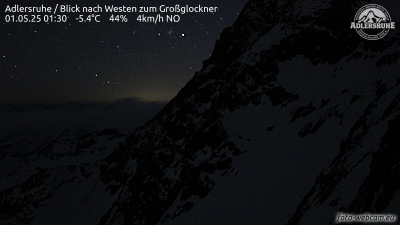
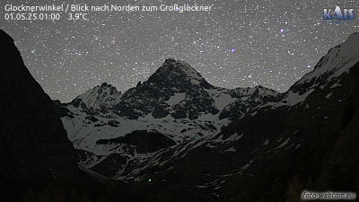
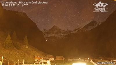
History around Gelbes Hörnl
- Kaprun disaster2000
Towns near Gelbes Hörnl
- Saalfelden am Steinernen Meer43 km away
- Bad Reichenhall76 km away