Mountains
See it in 3DGeulhemmerberg
118 m387 ft
Hill · Dutch Hills
Le Geulhemmerberg est un mont du Heuvelland proche de Fauquemont-sur-Gueule dans la province du Limbourg aux Pays-Bas. La Geulhemmerweg qui l'escalade relie le village de Geulhem et celui de Berg.
From French Wikipedia, CC BY-SA · Read the article
At the summit · forecast for 11:00 AM
15 °CCloudy · wind 24 km/h from the SW
Weather at the summit of Geulhemmerberg, 118 m
- 11:00 AM15 °CSW 24 km/h–
- 2:00 PM18 °CS 18 km/h–
- 5:00 PM16 °CSW 15 km/h1.3 mm
- 8:00 PM13 °CW 15 km/h0.7 mm
- 11:00 PM12 °CW 15 km/h–
- 2:00 AM9 °CSW 12 km/h–
- 5:00 AM8 °CSW 11 km/h–
- 8:00 AM7 °CSW 12 km/h–
| Day | Sky | High / low | Rain | Wind up to |
|---|---|---|---|---|
| Today | Partly cloudy | 18 °C / 12 °C | 2 mm | 24 km/h |
| Wed, Oct 28 | Clear | 13 °C / 7 °C | – | 14 km/h |
| Thu, Oct 29 | Partly cloudy | 14 °C / 6 °C | – | 9 km/h |
| Fri, Oct 30 | Clear | 14 °C / 5 °C | – | 11 km/h |
| Sat, Oct 31 | Partly cloudy | 14 °C / 5 °C | – | 8 km/h |
| Sun, Nov 1 | Partly cloudy | 12 °C / 4 °C | 0.8 mm | 7 km/h |
| Mon, Nov 2 | Cloudy | 11 °C / 7 °C | 0.1 mm | 12 km/h |
Forecast by MET Norway (CC BY 4.0), updated 02:17 AM GMT+1. Times are local.
Facts
- What it is
- Hill
- Height above sea level
- 118 m (387 ft)
- Range
- Dutch Hills
- Coordinates
- 50.867°N 5.783°E
- Source
- Wikidata, CC0
Peaks near Geulhemmerberg
- Cauberg137 m · 2.9 km awayOn the map
- Mount Saint Peter171 m · 9 km awayOn the map
- Vrouwenheide218 m · 12 km awayOn the map
- Vaalserberg322 m · 21 km awayOn the map
- Lousberg264 m · 23 km awayOn the map
- Steling658 m · 44 km awayOn the map
- Ardennes massif652 m · 46 km awayOn the map
- Signal de Botrange694 m · 46 km awayOn the map
- Sophienhöhe302 m · 47 km awayOn the map
- Hill 400401 m · 50 km awayOn the map
Highest in the Dutch Hills
- Vrouwenheide218 mOn the map
- Geulhemmerberg118 mOn the map
- Beukenberg115 mOn the map
- Heuvel105 mOn the map
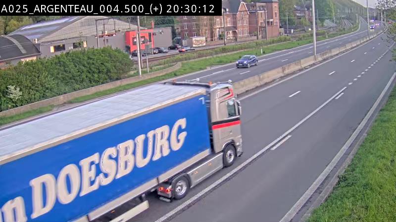
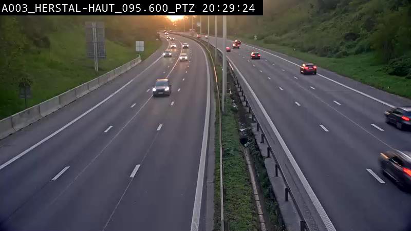
Webcams near Geulhemmerberg


History around Geulhemmerberg
Towns near Geulhemmerberg
- Maastricht6.9 km away
- Lanaken10 km away
- Hoensbroek12 km away
- Geleen12 km away
- Maasmechelen13 km away
- Mechelen-aan-de-Maas13 km away