 See it in 3D
Facts
- What it is
- Mountain
- Height above sea level
- 1,670 m (5,479 ft)
- Prominence
- 1,457 m (4,780 ft)
- Isolation
- 45 km to higher ground
- Country
- Norway
- Coordinates
- 61.804°N 5.821°E
- Source
- Wikidata, CC0
Peaks near Gjegnet
- Hornelen860 m · 30 km awayOn the map
- Eidskyrkja1,483 m · 33 km awayOn the map
- Kletten284 m · 33 km awayOn the map
- Snønipa1,827 m · 47 km awayOn the map
- Saudehornet1,303 m · 51 km awayOn the map
- Hornindalsrokken1,527 m · 53 km awayOn the map
- Skårasalen1,543 m · 53 km awayOn the map
- Kvitegga1,700 m · 56 km awayOn the map
- Kolåstinden1,432 m · 57 km awayOn the map
- Jakta1,588 m · 58 km awayOn the map
Highest mountains in Norway
- Galdhøpiggen2,469 mOn the map
- Glittertind2,464 mOn the map
- Store Skagastølstind2,406 mOn the map
- Surtningssue2,368 mOn the map
- Store Memurutinden2,365 mOn the map
- Store Hellstugutinden2,346 mOn the map
- Store Knutsholstinden2,339 mOn the map
- Tjørnholstind2,323 mOn the map
- Bukkehøe2,314 mOn the map
- Dovrefjell2,286 mOn the map
Webcams near Gjegnet
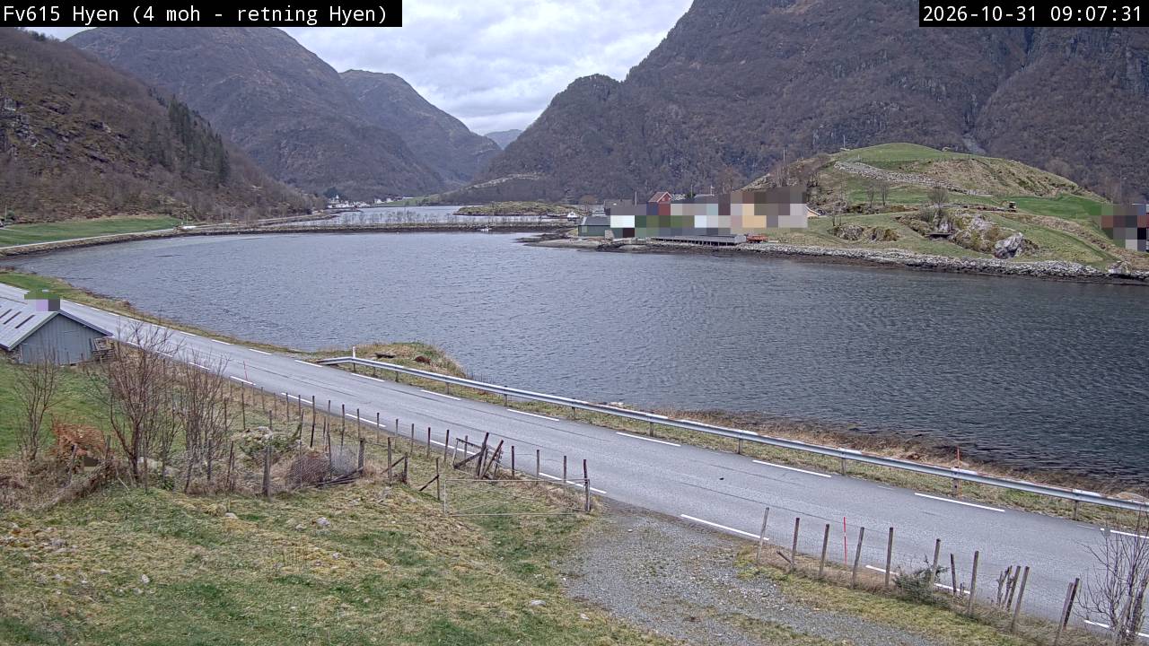
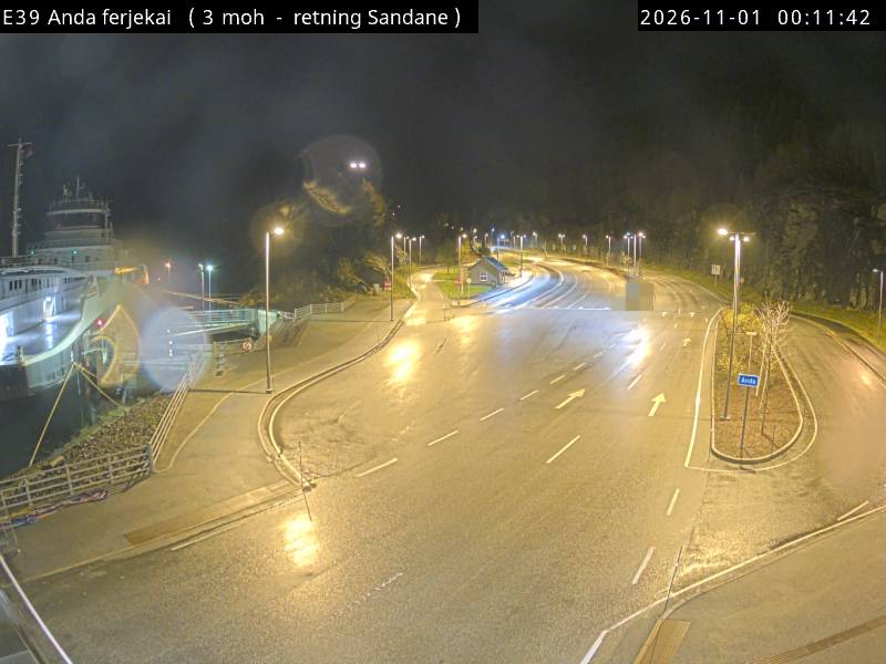
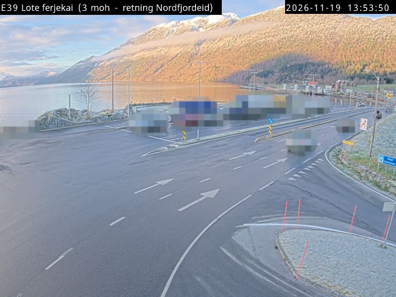

Towns near Gjegnet
- Ålesund76 km away