Mountains in Georgia
See it in 3DGora Bagnarges
1,442 m4,731 ft
Mountain · Gagra Range · Georgia
Baghnarhesi is a 1,442-metre-high (4,731 ft) mountain of the Gagra Range in Abkhazia, Georgia.
From Wikipedia, CC BY-SA · Read the article
At the summit · forecast for 7:00 AM
12 °CPartly cloudy · wind 8 km/h from the SE
Weather at the summit of Gora Bagnarges, 1,442 m
- 7:00 AM12 °CSE 8 km/h–
- 10:00 AM18 °CNE 3 km/h–
- 1:00 PM18 °CW 7 km/h–
- 4:00 PM16 °CSW 4 km/h–
- 7:00 PM11 °CE 4 km/h–
- 10:00 PM11 °CE 5 km/h–
- 1:00 AM11 °CSE 5 km/h1.6 mm
- 4:00 AM11 °CE 10 km/h3.9 mm
| Day | Sky | High / low | Rain | Wind up to |
|---|---|---|---|---|
| Today | Partly cloudy | 19 °C / 10 °C | – | 8 km/h |
| Thu, Oct 29 | Cloudy | 14 °C / 9 °C | 15.2 mm | 10 km/h |
| Fri, Oct 30 | Heavy rain | 11 °C / 8 °C | 22 mm | 15 km/h |
| Sat, Oct 31 | Rain | 9 °C / 7 °C | 9.5 mm | 6 km/h |
| Sun, Nov 1 | Clear | 11 °C / 6 °C | 5.7 mm | 4 km/h |
| Mon, Nov 2 | Partly cloudy | 13 °C / 6 °C | 0.4 mm | 4 km/h |
| Tue, Nov 3 | Cloudy | 11 °C / 6 °C | 3.3 mm | 5 km/h |
Forecast by MET Norway (CC BY 4.0), updated 02:18 AM GMT+3. Times are local.
Facts
- What it is
- Mountain
- Height above sea level
- 1,442 m (4,731 ft)
- Range
- Gagra Range
- Country
- Georgia
- Coordinates
- 43.462°N 40.167°E
- Source
- Wikidata, CC0
Peaks near Gora Bagnarges
- Arabika Massif2,661 m · 16 km awayOn the map
- Aibiga Ridge2,509 m · 21 km awayOn the map
- Black Pyramid2,374 m · 21 km awayOn the map
- Agepsta3,257 m · 27 km awayOn the map
- Mount Akhun663 m · 28 km awayOn the map
- Mt Achibakhi2,377 m · 34 km awayOn the map
- Chugush3,238 m · 37 km awayOn the map
- Tsakhvoa3,346 m · 40 km awayOn the map
- Fisht2,867 m · 59 km awayOn the map
- BagnargesMountain · 0.9 km awayOn the map
Highest in the Gagra Range
- Agepsta3,257 mOn the map
- Akh-Ag2,732 mOn the map
- Anchkho2,697 mOn the map
- Arabika Massif2,661 mOn the map
- Atsetuka2,538 mOn the map
- Khyrka2,432 mOn the map
- Mt Achibakhi2,377 mOn the map
- Pshegishkhva2,221 mOn the map
- Gora Bagnarges1,442 mOn the map
Highest mountains in Georgia
- Shkhara5,193 mOn the map
- Tetnuldi4,858 mOn the map
- Ushba4,737 mOn the map
- Ailama4,547 mOn the map
- Laila Peak4,008 mOn the map
- Keli Highland3,736 mOn the map
- Didi Abuli3,301 mOn the map
- Mount Samsari3,285 mOn the map
- Mount Khabarjina3,136 mOn the map
- Mount Yemlikli3,054 mOn the map
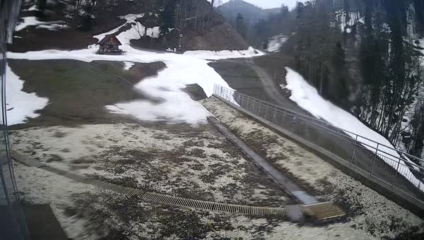
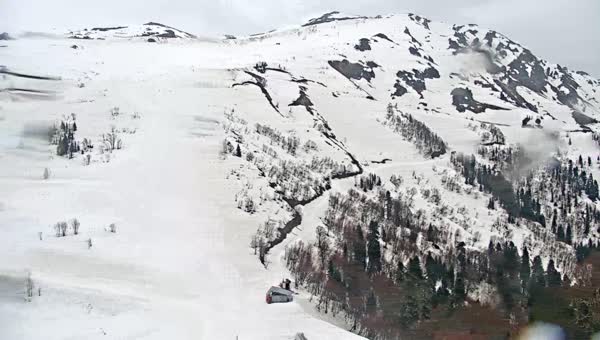
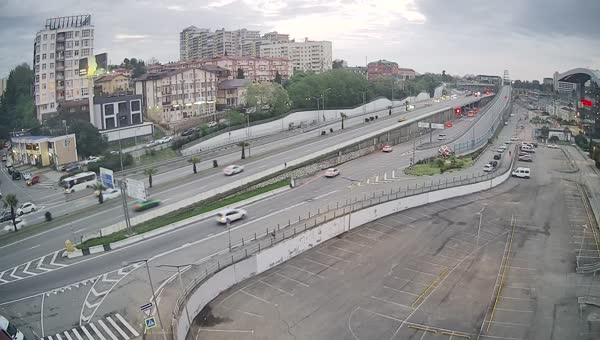
Webcams near Gora Bagnarges
History around Gora Bagnarges
- The XXII Olympic Winter Games are held in Sochi, Russia2014
- Armavia Flight 9672006
- Aeroflot Flight 4151962
- Lewis Hamilton wins his 100th Grand Prix in Formula 1, becoming the first to reach the milestone, at an eventful Russian Grand Prix2021
- The Winter Paralympics in Sochi, Russia officially concludes2014
- The Winter Olympics in Sochi, Russia officially concludes2014
- The opening ceremony is held in the Russian city of Sochi2014
- Battle of Gagra1992