Mountains in Switzerland
Grauholz
820 m2,690 ft
Mountain · Switzerland
Das Grauholz ist ein bewaldeter Hügelzug zwischen Schönbühl und Ittigen, nahe der Stadt Bern in der Schweiz. Es ist bekannt für die Schlacht am Grauholz (1798) sowie für seine verkehrstechnische Lage mit einem Autobahnabschnitt und einem Eisenbahntunnel.
From German Wikipedia, CC BY-SA · Read the article
At the summit · forecast for 3:00 AM
5 °CClear · wind 3 km/h from the SE
 See it in 3D
Weather at the summit of Grauholz, 820 m
- 3:00 AM5 °CSE 3 km/h–
- 6:00 AM4 °CSE 3 km/h–
- 9:00 AM7 °CS 4 km/h–
- 12:00 PM12 °CW 4 km/h–
- 3:00 PM14 °CW 6 km/h–
- 6:00 PM10 °CS 4 km/h–
- 9:00 PM7 °CS 6 km/h–
- 12:00 AM7 °CSE 5 km/h–
| Day | Sky | High / low | Rain | Wind up to |
|---|---|---|---|---|
| Today | Clear | 14 °C / 4 °C | – | 6 km/h |
| Wed, Oct 28 | Cloudy | 10 °C / 6 °C | 2.4 mm | 14 km/h |
| Thu, Oct 29 | Partly cloudy | 8 °C / 3 °C | – | 18 km/h |
| Fri, Oct 30 | Cloudy | 6 °C / 1 °C | 0.1 mm | 11 km/h |
| Sat, Oct 31 | Partly cloudy | 7 °C / 1 °C | – | 4 km/h |
| Sun, Nov 1 | Mostly clear | 9 °C / 0 °C | – | 6 km/h |
| Mon, Nov 2 | Cloudy | 6 °C / 2 °C | 0.1 mm | 23 km/h |
Forecast by MET Norway (CC BY 4.0), updated 02:17 AM GMT+1. Times are local.
Facts
- What it is
- Mountain
- Height above sea level
- 820 m (2,690 ft)
- Country
- Switzerland
- Coordinates
- 47.003°N 7.513°E
- Source
- Wikidata, CC0
Peaks near Grauholz
- Napf1,408 m · 32 km awayOn the map
- Gantrisch2,175 m · 33 km awayOn the map
- Stockhorn2,190 m · 34 km awayOn the map
- Chasseral1,607 m · 37 km awayOn the map
- Niesen2,362 m · 41 km awayOn the map
- Kaiseregg2,185 m · 42 km awayOn the map
- Harderkulm1,322 m · 43 km awayOn the map
- Brienzer Rothorn2,349 m · 47 km awayOn the map
- Morgenberghorn2,249 m · 47 km awayOn the map
- Dreispitz2,520 m · 49 km awayOn the map
Highest mountains in Switzerland
- Dufourspitze4,634 mOn the map
- Dom4,546 mOn the map
- Lyskamm4,532 mOn the map
- Weisshorn4,505 mOn the map
- Matterhorn4,478 mOn the map
- Dent Blanche4,357 mOn the map
- Grand Combin4,309 mOn the map
- Finsteraarhorn4,274 mOn the map
- Zinalrothorn4,221 mOn the map
- Alphubel4,206 mOn the map
Webcams near Grauholz
 Webcam8 km from the summit
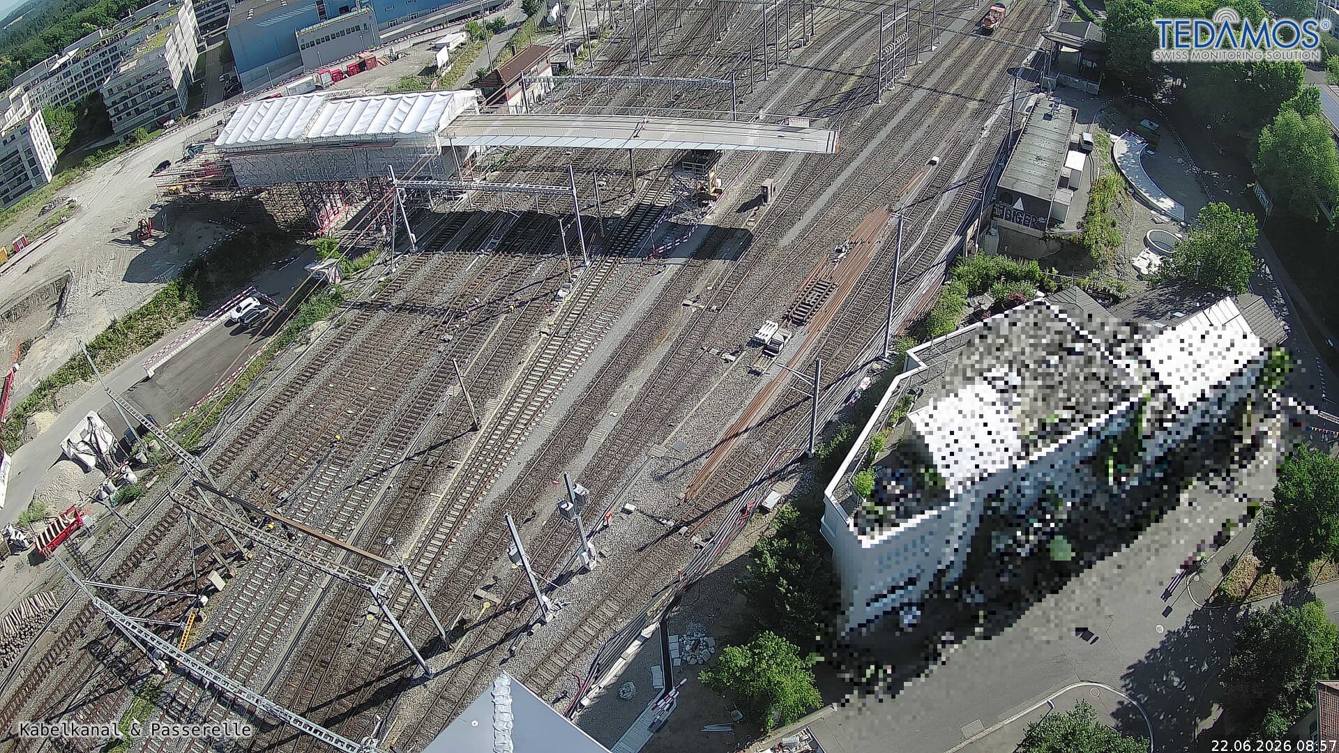 For "Leistungssteigerung Bern West": https://company.sbb.ch/de/bahnentwicklung/projekte/deutschschweiz/region-bern/bahnknoten-bern/bern-west/10 km from the summit
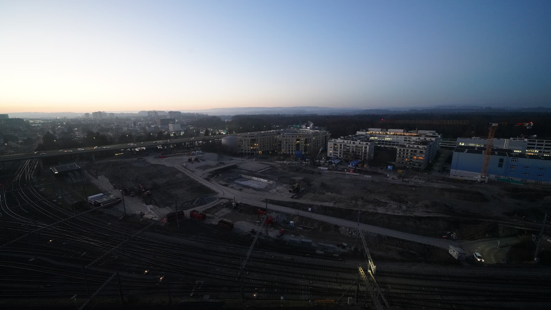 For BFH construction site: https://www.campus-bern.bvd.be.ch/de/start/bauphase.html10 km from the summit
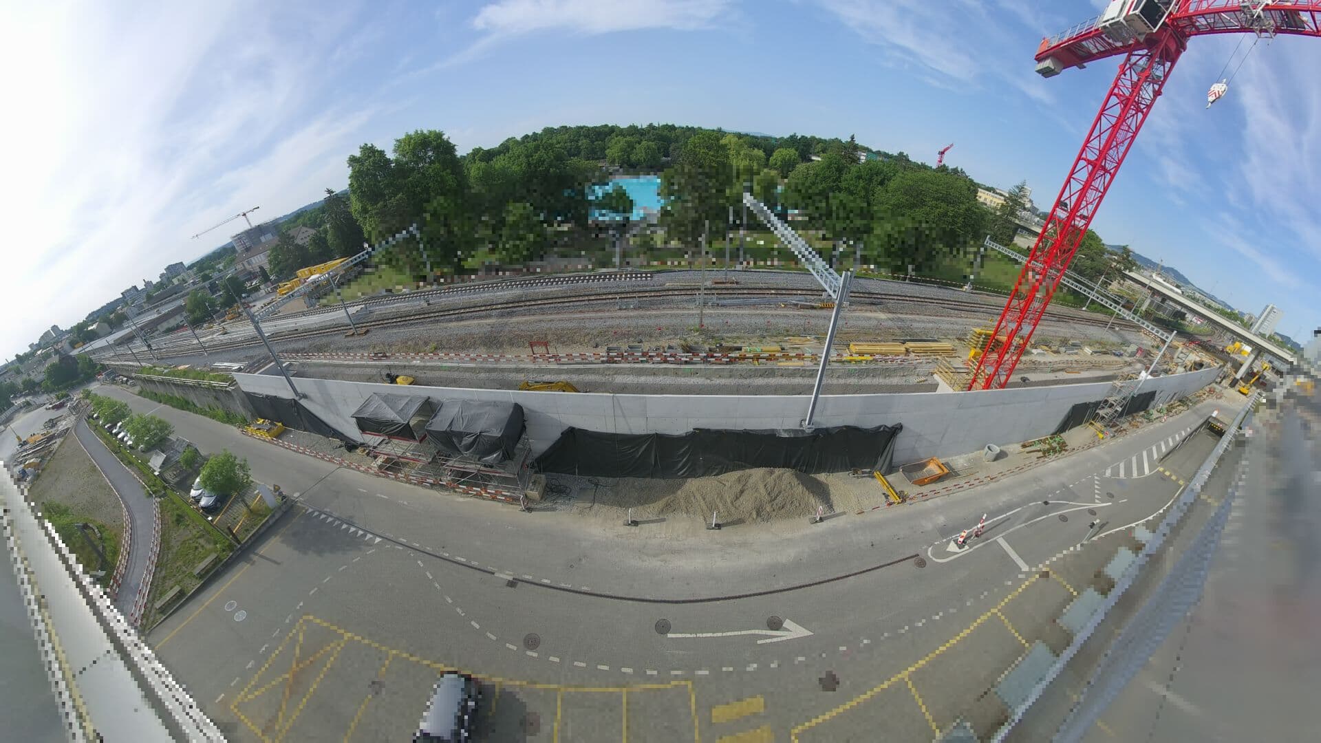 For Haltestelle Bern Europaplatz Nord: https://company.sbb.ch/de/bahnentwicklung/projekte/deutschschweiz/region-bern/bahnknoten-bern/bern-west/projekt/bahnhof-europaplatz-nord.html10 km from the summit