Mountains in Austria
Großer Ingent
2,917 m9,570 ft
Mountain · Zillertal Alps · Austria
Der Große Ingent ist ein 2917 m ü. A. hoher Gipfel in den Zillertaler Alpen. Der Große Ingent weist drei Hauptflanken auf, die sich nach Südwesten in den Zemmgrund, nach Osten in die Gunggl und nach Norden in das Ingentkar erstrecken.
From German Wikipedia, CC BY-SA · Read the article
At the summit · forecast for 12:00 PM
1 °CClear · wind 3 km/h from the N
 See it in 3D
Weather at the summit of Großer Ingent, 2,917 m
- 12:00 PM1 °CN 3 km/h–
- 3:00 PM2 °CN 3 km/h–
- 6:00 PM-3 °CSW 3 km/h–
- 9:00 PM-4 °CSW 4 km/h–
- 12:00 AM-4 °CSW 4 km/h–
- 3:00 AM-6 °CSW 5 km/h–
- 6:00 AM-7 °CSW 5 km/h–
- 9:00 AM-2 °CW 5 km/h0.2 mm
| Day | Sky | High / low | Rain | Wind up to |
|---|---|---|---|---|
| Wed, Oct 28 | Snow | -1 °C / -7 °C | 6.6 mm | 8 km/h |
| Thu, Oct 29 | Clear | -3 °C / -9 °C | – | 7 km/h |
| Fri, Oct 30 | Clear | -1 °C / -10 °C | – | 2 km/h |
| Sat, Oct 31 | Clear | 2 °C / -9 °C | – | 3 km/h |
| Sun, Nov 1 | Clear | 1 °C / -7 °C | – | 3 km/h |
| Mon, Nov 2 | Clear | -2 °C / -10 °C | – | 3 km/h |
| Tue, Nov 3 | Clear | -2 °C / -9 °C | – | 4 km/h |
Forecast by MET Norway (CC BY 4.0), updated 02:17 AM GMT+1. Times are local.
Facts
- What it is
- Mountain
- Height above sea level
- 2,917 m (9,570 ft)
- Range
- Zillertal Alps
- Country
- Austria
- Coordinates
- 47.057°N 11.788°E
- Source
- Wikidata, CC0
Peaks near Großer Ingent
- Großer Möseler3,480 m · 7.2 km awayOn the map
- Schwarzenstein3,369 m · 8.3 km awayOn the map
- Olperer3,476 m · 9.8 km awayOn the map
- Großer Löffler3,379 m · 10 km awayOn the map
- Hochfeiler3,509 m · 10 km awayOn the map
- Lizumer Reckner2,886 m · 15 km awayOn the map
- Kreuzjoch2,558 m · 26 km awayOn the map
- Schneebiger Nock3,358 m · 28 km awayOn the map
- Patscherkofel2,246 m · 30 km awayOn the map
- Hochgall3,436 m · 31 km awayOn the map
Highest in the Zillertal Alps
- Gefrorene-Wand-Spitzen3,288 mOn the map
- Großer Mörchner3,283 mOn the map
- Hoher Riffler3,231 mOn the map
- Westliche Floitenspitze3,195 mOn the map
- Napfspitze3,144 mOn the map
- Keilbachspitze3,094 mOn the map
- Zsigmondyspitze3,089 mOn the map
- Realspitze3,039 mOn the map
- Großer Ingent2,917 mOn the map
Highest mountains in Austria
- Grossglockner3,798 mOn the map
- Wildspitze3,768 mOn the map
- Weißkugel3,738 mOn the map
- Großvenediger3,657 mOn the map
- Hintere Schwärze3,624 mOn the map
- Großes Wiesbachhorn3,564 mOn the map
- Ramolkogel3,549 mOn the map
- Schalfkogel3,537 mOn the map
- Watzespitze3,532 mOn the map
- Fineilspitze3,514 mOn the map
Webcams near Großer Ingent
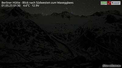 Berliner Hütte - Blick nach Südwesten zum Waxeggkees4 km from the summit
 Mayrhofen im Zillertal - Bergsteigerdorf Ginzling5.1 km from the summit
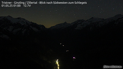 Tristner - Ginzling / Zillertal - Blick nach Südwesten zum Schlegeis6.5 km from the summit
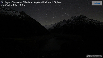 Schlegeis Stausee - Zillertaler Alpen - Blick nach Süden6.7 km from the summit
Towns near Großer Ingent
- Innsbruck38 km away
- Bressanone39 km away
- Telfs61 km away
- Merano64 km away
- Garmisch-Partenkirchen71 km away
- Bolzano72 km away