Mountains in Japan
Hetoshitsuru
931 m3,053 ft
Mountain · Tokachi Volcanic Group · Japan
経歳鶴(へとしつる)は、北海道の富良野市と空知郡南富良野町の2市町にまたがる標高930.7mの山である。山頂には二等三角点「経歳鶴」が設置されている。
From Japanese Wikipedia, CC BY-SA · Read the article
At the summit · forecast for 9:00 AM
2 °CMostly clear · wind 6 km/h from the E
 See it in 3D
Weather at the summit of Hetoshitsuru, 931 m
- 9:00 AM2 °CE 6 km/h–
- 12:00 PM6 °CSW 15 km/h–
- 3:00 PM3 °CSW 10 km/h0.1 mm
- 6:00 PM0 °CNE 5 km/h4 mm
- 9:00 PM-2 °CNE 8 km/h0.8 mm
- 12:00 AM-1 °CW 15 km/h2.9 mm
- 3:00 AM-3 °CW 28 km/h2.1 mm
- 6:00 AM-5 °CW 26 km/h3.1 mm
| Day | Sky | High / low | Rain | Wind up to |
|---|---|---|---|---|
| Today | Cloudy | 6 °C / -2 °C | 4.9 mm | 15 km/h |
| Wed, Oct 28 | Snow | -1 °C / -6 °C | 12 mm | 33 km/h |
| Thu, Oct 29 | Partly cloudy | 1 °C / -6 °C | 7.9 mm | 26 km/h |
| Fri, Oct 30 | Mostly clear | 7 °C / 2 °C | 6.6 mm | 9 km/h |
| Sat, Oct 31 | Clear | 7 °C / -2 °C | 5 mm | 24 km/h |
| Sun, Nov 1 | Cloudy | -2 °C / -4 °C | 0.8 mm | 30 km/h |
| Mon, Nov 2 | Light snow | 1 °C / -3 °C | 7.2 mm | 18 km/h |
Forecast by MET Norway (CC BY 4.0), updated 08:20 AM GMT+9. Times are local.
Facts
- What it is
- Mountain
- Height above sea level
- 931 m (3,053 ft)
- Range
- Tokachi Volcanic Group
- Country
- Japan
- Coordinates
- 43.258°N 142.663°E
- Source
- Wikidata, CC0
Peaks near Hetoshitsuru
- Mount Sahoro1,060 m · 13 km awayOn the map
- Mount Furano1,912 m · 15 km awayOn the map
- Mount Kamihorokamettoku1,920 m · 16 km awayOn the map
- Mount Tokachi2,077 m · 18 km awayOn the map
- Mount Biei2,052 m · 20 km awayOn the map
- Mount Oputateshike2,013 m · 21 km awayOn the map
- Biei Fuji1,888 m · 22 km awayOn the map
- Mount Bebetsu1,860 m · 24 km awayOn the map
- Mount Odasshu1,098 m · 24 km awayOn the map
- Mount Karifuri1,323 m · 26 km awayOn the map
Highest in the Tokachi Volcanic Group
- Mount Tokachi2,077 mOn the map
- Mount Biei2,052 mOn the map
- Mount Oputateshike2,013 mOn the map
- Mount Furano1,912 mOn the map
- Mount Bebetsu1,860 mOn the map
- Hetoshitsuru931 mOn the map
Highest mountains in Japan
- Mount Fuji3,777 mOn the map
- Mount Kita3,193 mOn the map
- Hotaka Mountains3,190 mOn the map
- Ainodake3,189 mOn the map
- Mount Yari3,180 mOn the map
- Mount Warusawa3,141 mOn the map
- Mount Akaishi3,120 mOn the map
- Mount Ontake3,067 mOn the map
- Mount Shiomi3,047 mOn the map
- Mount Senjō3,033 mOn the map
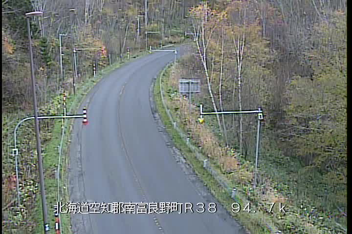
Webcams near Hetoshitsuru


History around Hetoshitsuru
- まりも号脱線事件1951
Towns near Hetoshitsuru
- Shimo-furano25 km away
- Furano25 km away
- Ashibetsu48 km away
- Memuro-minami49 km away
- Otofuke53 km away
- Obihiro58 km away