Mountains in Italy
See it in 3Dhill-16579681
117 m384 ft
Hill · Monfalcone Karst · Italy
At the summit · forecast for 6:00 AM
7 °CMostly clear · wind 10 km/h from the NE
Weather at the summit of hill-16579681, 117 m
- 6:00 AM7 °CNE 10 km/h–
- 9:00 AM12 °CNE 9 km/h–
- 12:00 PM16 °CW 8 km/h–
- 3:00 PM16 °CNW 10 km/h–
- 6:00 PM13 °CN 12 km/h–
- 9:00 PM12 °CNE 14 km/h–
- 12:00 AM11 °CNE 16 km/h–
- 3:00 AM10 °CNE 14 km/h–
| Day | Sky | High / low | Rain | Wind up to |
|---|---|---|---|---|
| Today | Partly cloudy | 17 °C / 7 °C | – | 17 km/h |
| Thu, Oct 29 | Mostly clear | 18 °C / 7 °C | – | 22 km/h |
| Fri, Oct 30 | Partly cloudy | 16 °C / 6 °C | – | 27 km/h |
| Sat, Oct 31 | Clear | 15 °C / 4 °C | – | 4 km/h |
| Sun, Nov 1 | Partly cloudy | 15 °C / 3 °C | – | 10 km/h |
| Mon, Nov 2 | Mostly clear | 13 °C / 2 °C | – | 8 km/h |
| Tue, Nov 3 | Cloudy | 14 °C / 4 °C | – | 9 km/h |
Forecast by MET Norway (CC BY 4.0), updated 02:17 AM GMT+1. Times are local.
Facts
- What it is
- Hill
- Height above sea level
- 117 m (384 ft)
- Range
- Monfalcone Karst
- Country
- Italy
- Coordinates
- 45.843°N 13.511°E
- Source
- Wikidata, CC0
Peaks near hill-16579681
- Monte San Michele275 m · 4.3 km awayOn the map
- Monte Ermada323 m · 10 km awayOn the map
- Mount Calvario241 m · 13 km awayOn the map
- Sabotin609 m · 19 km awayOn the map
- Škabrijel646 m · 20 km awayOn the map
- Mount Kuk612 m · 22 km awayOn the map
- Monte San Martino987 m · 37 km awayOn the map
- Monte Cocusso672 m · 37 km awayOn the map
- Matajur1,642 m · 41 km awayOn the map
- Kojca1,303 m · 47 km awayOn the map
Highest in the Monfalcone Karst
- Monte San Michele275 mOn the map
- hill-3624645144 mOn the map
- hill-16579681117 mOn the map
Highest mountains in Italy
- Mont Blanc4,806 mOn the map
- Lyskamm4,532 mOn the map
- Matterhorn4,478 mOn the map
- Pointe Walker4,208 mOn the map
- Grandes Jorasses4,208 mOn the map
- Dent d'Hérens4,173 mOn the map
- Breithorn4,160 mOn the map
- hill-16579681117 mOn the map
Webcams near hill-16579681
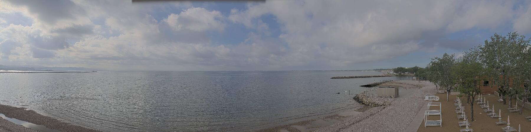 Marina di Monfalcone7.2 km from the summit
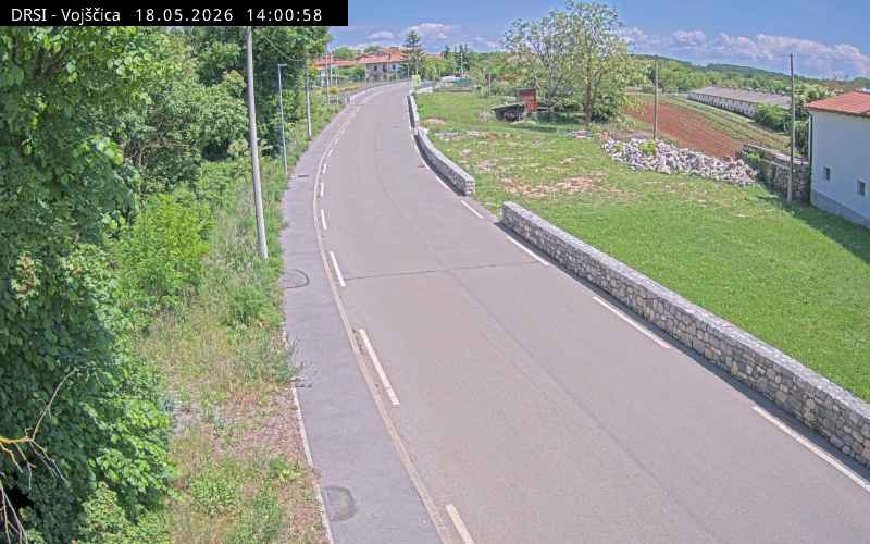 Webcam12 km from the summit
H4, Razdrto - Vrtojba, pred prehodom Vrtojba, vrtljiva kamera, Blickrichtung Primorska in Notranjska13 km from the summit
H4, Razdrto - Vrtojba, viadukt Lijak, pogled proti Vrtojbi, Blickrichtung Primorska in Notranjska17 km from the summit
History around hill-16579681
- Sixth Battle of the Isonzo1916
- Battle of Isonzo489
- Council of Aquileia: Ambrose and the council depose the Arian bishops Palladius of Ratiaria and Secundianus of Singidunum381
- Battle of Doberdò1916
- Sack of Aquileia452
- 2024 Karst Plateau fire2024
- conflagration at Renški Vrh2022
- Capture of the Vrtojba international border crossing1991
Towns near hill-16579681
- Monfalcone4.6 km away
- Gorizia14 km away
- Trieste30 km away
- Udine33 km away
- Koper37 km away
- Portogruaro52 km away