Hogback Mountain
670 ft204 m
Mountain · Blue Ridge Mountains · United States
Hogback Mountain is part of Catoctin Mountain, located southwest of Leesburg in Loudoun County, Virginia. The mountain ridge rises immediately to the west of U.S. Route 15, just south of Sycolin Creek and extends 2.5 miles (4.0 km) south to the banks of Goose Creek.
From Wikipedia, CC BY-SA · Read the article
At the summit · forecast for 5:00 AM
48 °FClear · wind 4 mph from the S
Weather at the summit of Hogback Mountain, 670 ft
- 5:00 AM48 °FS 4 mph–
- 8:00 AM47 °FS 4 mph–
- 11:00 AM62 °FS 5 mph–
- 2:00 PM69 °FS 7 mph–
- 5:00 PM69 °FS 7 mph–
- 8:00 PM60 °FS 7 mph–
- 11:00 PM58 °FSW 6 mph–
- 2:00 AM53 °FSW 5 mph–
| Day | Sky | High / low | Rain | Wind up to |
|---|---|---|---|---|
| Today | Clear | 70 °F / 47 °F | – | 8 mph |
| Fri, Oct 30 | Clear | 70 °F / 52 °F | – | 14 mph |
| Sat, Oct 31 | Partly cloudy | 59 °F / 46 °F | – | 9 mph |
| Sun, Nov 1 | Clear | 66 °F / 51 °F | – | 9 mph |
| Mon, Nov 2 | Cloudy | 69 °F / 46 °F | – | 5 mph |
| Tue, Nov 3 | Partly cloudy | 73 °F / 47 °F | – | 12 mph |
| Wed, Nov 4 | Clear | 73 °F / 53 °F | – | 7 mph |
Forecast by MET Norway (CC BY 4.0), updated 01:22 AM EDT. Times are local.
Facts
- What it is
- Mountain
- Height above sea level
- 670 ft (204 m)
- Prominence
- 130 ft (40 m)
- Range
- Blue Ridge Mountains
- Parent peak
- Catoctin Mountain
- Country
- United States
- Coordinates
- 39.100°N 77.600°W
- Source
- Wikidata, CC0
Hogback Mountain (Loudoun County, Virginia)
Mountain in Virginia, United States
Hogback Mountain is part of Catoctin Mountain, located southwest of Leesburg in Loudoun County, Virginia. The mountain ridge rises immediately to the west of U.S. Route 15, just south of Sycolin Creek and extends 2.5 miles (4.0 km) south to the banks of Goose Creek. It is so named for its appearance when approaching it from the north of resembling a pig on its back.
From Wikipedia, CC BY-SA · Read the article
Peaks near Hogback Mountain
- Short Hill Mountain1,442 ft · 19 km awayOn the map
- Raven Rocks1,454 ft · 21 km awayOn the map
- Purcell Knob1,207 ft · 22 km awayOn the map
- Blue Ridge Mountain2,388 ft · 23 km awayOn the map
- Sugar Loaf Mountain1,282 ft · 25 km awayOn the map
- Loudoun Heights1,175 ft · 26 km awayOn the map
- Paris Mountain1,926 ft · 30 km awayOn the map
- Elk Ridge1,476 ft · 33 km awayOn the map
- Lambs Knoll1,758 ft · 39 km awayOn the map
- Point Reno409 ft · 48 km awayOn the map
Parent peak
The nearest higher peak its prominence is measured to.
- Catoctin MountainMountainOn the map
Highest in the Blue Ridge Mountains
- Mount Rogers5,988 ftOn the map
- Grandfather Mountain5,965 ftOn the map
- Mount Pisgah5,721 ftOn the map
- Devil's Courthouse5,720 ftOn the map
- Snake Mountain (North Carolina)5,564 ftOn the map
- Elk Knob5,538 ftOn the map
- Whitetop Mountain5,518 ftOn the map
- Beech Mountain5,506 ftOn the map
- Hogback Mountain670 ftOn the map
Highest mountains in United States
- Denali20,308 ftOn the map
- Mount Saint Elias18,009 ftOn the map
- Mount Foraker17,402 ftOn the map
- Mount Bona16,535 ftOn the map
- Mount Blackburn16,390 ftOn the map
- Mount Sanford16,237 ftOn the map
- Mount Vancouver15,787 ftOn the map
- Mount Churchill15,636 ftOn the map
- Mount Fairweather15,325 ftOn the map
- Mount Hubbard14,951 ftOn the map
Webcams near Hogback Mountain
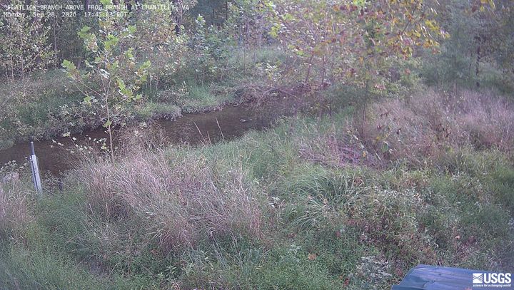
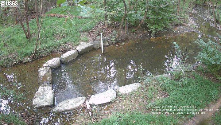
History around Hogback Mountain
Towns near Hogback Mountain
- Leesburg3.6 km away
- Purcellville10 km away
- Ashburn12 km away
- Sterling18 km away
- South Riding22 km away
- Herndon23 km away