 See it in 3D
Facts
- What it is
- Mountain
- Height above sea level
- 2,363 m (7,753 ft)
- Range
- Rottenmann and Wölz Tauern
- Country
- Austria
- Coordinates
- 47.329°N 14.236°E
- Source
- Wikidata, CC0
Peaks near Hohenwart
- Greim2,474 m · 11 km awayOn the map
- Rettlkirchspitze2,475 m · 11 km awayOn the map
- Großer Bösenstein2,448 m · 18 km awayOn the map
- Grimming2,351 m · 27 km awayOn the map
- Preber2,740 m · 31 km awayOn the map
- Hochwildstelle2,747 m · 31 km awayOn the map
- Geierhaupt2,417 m · 31 km awayOn the map
- Sparafeld2,247 m · 33 km awayOn the map
- Admonter Reichenstein2,251 m · 34 km awayOn the map
- Bosruck1,992 m · 34 km awayOn the map
Highest in the Rottenmann and Wölz Tauern
- Rettlkirchspitze2,475 mOn the map
- Großer Bösenstein2,448 mOn the map
- Oberwölzer Schoberspitze2,423 mOn the map
- Hohenwart2,363 mOn the map
- Zinkenkogel2,233 mOn the map
- Gumpeneck2,226 mOn the map
- Hochschwung2,196 mOn the map
- Schüttnerkogel2,170 mOn the map
- Großer Hengst2,159 mOn the map
Highest mountains in Austria
- Grossglockner3,798 mOn the map
- Wildspitze3,768 mOn the map
- Weißkugel3,738 mOn the map
- Großvenediger3,657 mOn the map
- Hintere Schwärze3,624 mOn the map
- Großes Wiesbachhorn3,564 mOn the map
- Ramolkogel3,549 mOn the map
- Schalfkogel3,537 mOn the map
- Watzespitze3,532 mOn the map
- Fineilspitze3,514 mOn the map
Webcams near Hohenwart

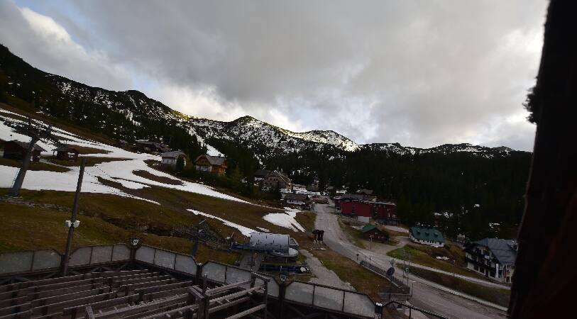
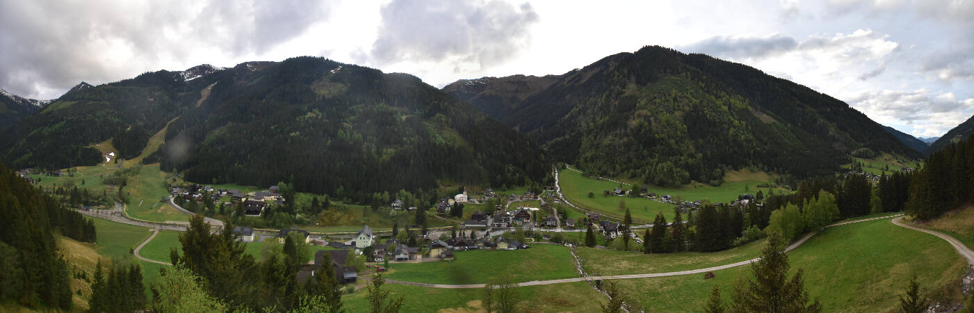


Towns near Hohenwart
- Wolfsberg71 km away
- Klagenfurt am Wörthersee79 km away