Facts
- What it is
- Hill
- Height above sea level
- 589 m (1,933 ft)
- Country
- Norway
- Coordinates
- 65.691°N 14.037°E
- Source
- Wikidata, CC0
Peaks near Holmfjellet
- Oksskolten1,916 m · 38 km awayOn the map
- Lukttinden1,343 m · 40 km awayOn the map
- AarpijeMountain · 13 km awayOn the map
- Geittinden1,557 m · 16 km awayOn the map
- BrovreseMountain · 21 km awayOn the map
- Atoklimpen1,006 m · 28 km awayOn the map
- BessedørtindenMountain · 32 km awayOn the map
- Vesttinden1,709 m · 33 km awayOn the map
- Tvillingtindan1,823 m · 34 km awayOn the map
- Vuaksantjanke1,806 m · 35 km awayOn the map
Highest mountains in Norway
- Galdhøpiggen2,469 mOn the map
- Glittertind2,464 mOn the map
- Store Skagastølstind2,406 mOn the map
- Surtningssue2,368 mOn the map
- Store Memurutinden2,365 mOn the map
- Store Hellstugutinden2,346 mOn the map
- Store Knutsholstinden2,339 mOn the map
- Tjørnholstind2,323 mOn the map
- Bukkehøe2,314 mOn the map
- Dovrefjell2,286 mOn the map
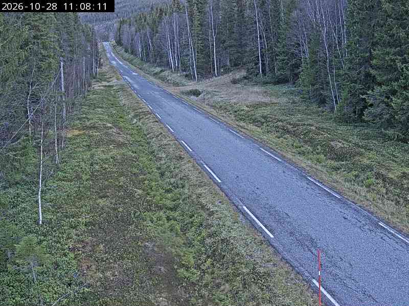
Webcams near Holmfjellet
Towns near Holmfjellet
- Mo i Rana69 km away