Hot Springs Mountain
6,536 ft1,992 m
Mountain · Peninsular Ranges · United States · Mexico
Hot Springs Mountain is a peak in the Peninsular Ranges in San Diego County, California. The mountain rises to an elevation of 6,533 feet (1,991 m) and is the highest point in the county. Some snow falls on the mountain peak during winter.
From Wikipedia, CC BY-SA · Read the article
At the summit · forecast for 3:00 AM
40 °FPartly cloudy · wind 7 mph from the W
Weather at the summit of Hot Springs Mountain, 6,536 ft
- 3:00 AM40 °FW 7 mph–
- 6:00 AM39 °FW 5 mph–
- 9:00 AM53 °FE 4 mph–
- 12:00 PM61 °FSE 6 mph–
- 3:00 PM60 °FS 7 mph–
- 6:00 PM50 °FSW 3 mph–
- 9:00 PM44 °FNW 3 mph–
- 12:00 AM42 °FN 2 mph–
| Day | Sky | High / low | Rain | Wind up to |
|---|---|---|---|---|
| Today | Partly cloudy | 62 °F / 38 °F | – | 8 mph |
| Thu, Oct 29 | Partly cloudy | 59 °F / 42 °F | – | 9 mph |
| Fri, Oct 30 | Partly cloudy | 54 °F / 41 °F | – | 10 mph |
| Sat, Oct 31 | Partly cloudy | 55 °F / 37 °F | 0.07 in | 6 mph |
| Sun, Nov 1 | Light rain | 48 °F / 42 °F | 0.07 in | 8 mph |
| Mon, Nov 2 | Clear | 57 °F / 35 °F | – | 6 mph |
| Tue, Nov 3 | Clear | 60 °F / 41 °F | – | 6 mph |
Forecast by MET Norway (CC BY 4.0), updated 01:19 AM PDT. Times are local.
Facts
- What it is
- Mountain
- Height above sea level
- 6,536 ft (1,992 m)
- Prominence
- 2,613 ft (796 m)
- Range
- Peninsular Ranges
- Countries
- United States, Mexico
- Coordinates
- 33.315°N 116.580°W
- Source
- Wikidata, CC0
Hot Springs Mountain
Mountain in San Diego County, California, U.S.
Hot Springs Mountain is a peak in the Peninsular Ranges in San Diego County, California. The mountain rises to an elevation of 6,533 feet (1,991 m) and is the highest point in the county. Some snow falls on the mountain peak during winter. It is located in a remote region of the county, four miles from the community of Warner Springs, 12 miles from Borrego Springs, and 50 miles from San Diego.
From Wikipedia, CC BY-SA · Read the article
Peaks near Hot Springs Mountain
- Coyote Mountain3,192 ft · 24 km awayOn the map
- Palomar Mountain6,142 ft · 24 km awayOn the map
- Toro Peak8,717 ft · 27 km awayOn the map
- Black Mountain4,048 ft · 27 km awayOn the map
- Whale Mountain (San Diego County, California)3,043 ft · 32 km awayOn the map
- Cuyamaca Peak6,516 ft · 41 km awayOn the map
- Oakzanita Peak5,056 ft · 47 km awayOn the map
- Tahquitz Peak8,846 ft · 50 km awayOn the map
- El Cajon Mountain3,648 ft · 50 km awayOn the map
- Chiquito Peak4,167 ft · 52 km awayOn the map
Highest in the Peninsular Ranges
- Sierra de la Laguna6,857 ftOn the map
- Hot Springs Mountain6,536 ftOn the map
- Tres Vírgenes6,365 ftOn the map
- Palomar Mountain6,142 ftOn the map
- Sierra de la Giganta5,472 ftOn the map
Highest mountains in United States
- Denali20,308 ftOn the map
- Mount Saint Elias18,009 ftOn the map
- Mount Foraker17,402 ftOn the map
- Mount Bona16,535 ftOn the map
- Mount Blackburn16,390 ftOn the map
- Mount Sanford16,237 ftOn the map
- Mount Vancouver15,787 ftOn the map
- Mount Churchill15,636 ftOn the map
- Mount Fairweather15,325 ftOn the map
- Mount Hubbard14,951 ftOn the map
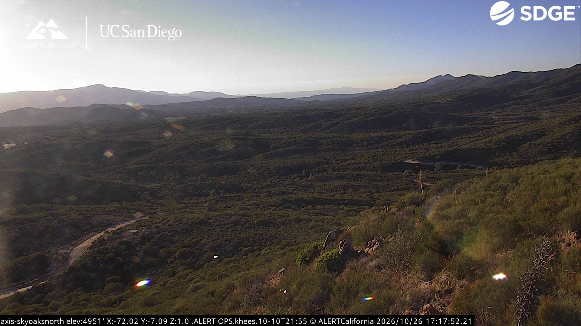
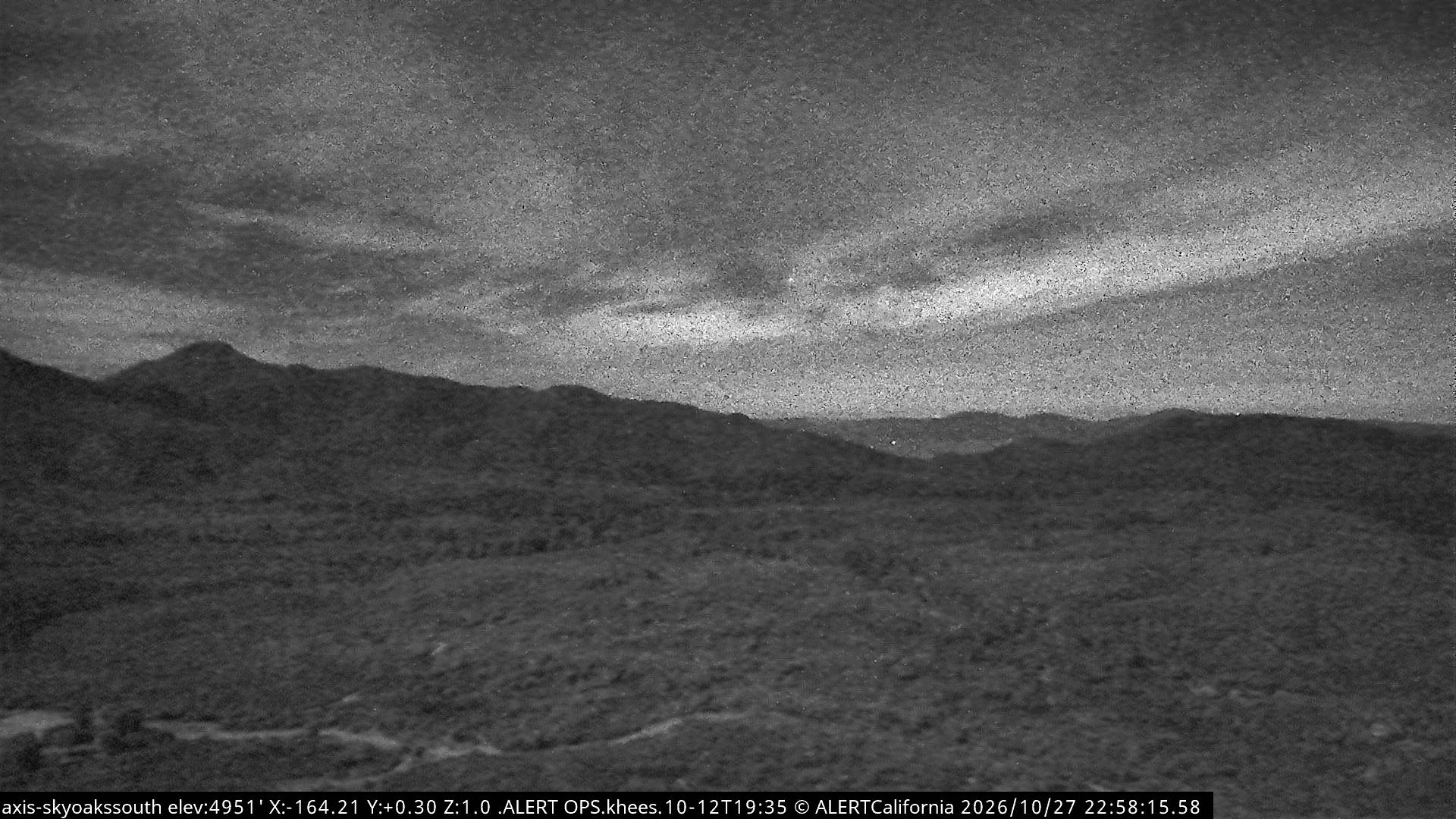
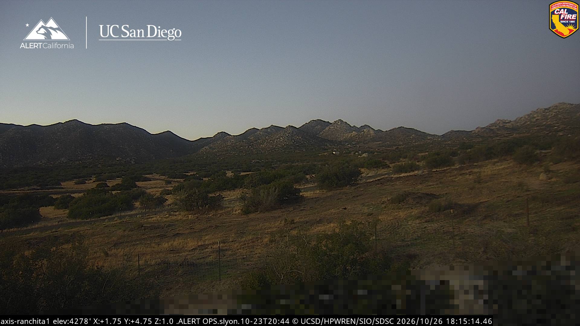
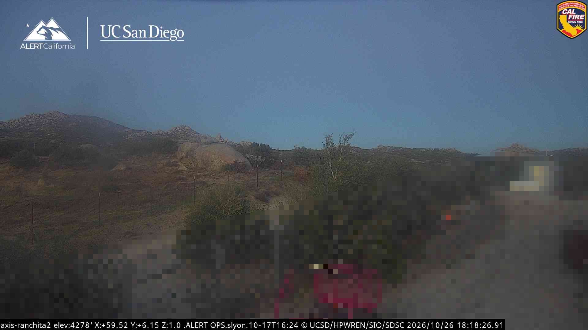
Webcams near Hot Springs Mountain
History around Hot Springs Mountain
- Pauma Massacre1846
Towns near Hot Springs Mountain
- Ramona41 km away
- La Quinta46 km away
- Indian Wells49 km away
- Palm Desert49 km away
- Rancho Mirage50 km away
- Escondido52 km away