Jabberwocky Tower
6,840 ft2,085 m
Mountain · Cascade Range · United States
Jabberwocky Tower is a 6,840-foot-elevation granite spire located in Chelan County of Washington state. Jabberwocky Tower is part of The Enchantments within the Alpine Lakes Wilderness. It belongs to the Stuart Range which is subset of the Cascade Range.
From Wikipedia, CC BY-SA · Read the article
At the summit · forecast for 12:00 AM
23 °FHeavy snow · wind 8 mph from the W
 See it in 3D
Weather at the summit of Jabberwocky Tower, 6,840 ft
- 12:00 AM23 °FW 8 mph0.17 in
- 3:00 AM24 °FSW 6 mph0.13 in
- 6:00 AM23 °FW 6 mph0.07 in
- 9:00 AM23 °FW 8 mph0.04 in
- 12:00 PM27 °FW 10 mph0.03 in
- 3:00 PM28 °FW 9 mph–
- 6:00 PM22 °FW 6 mph–
- 9:00 PM18 °FW 4 mph–
| Day | Sky | High / low | Rain | Wind up to |
|---|---|---|---|---|
| Today | Light snow | 28 °F / 17 °F | 0.44 in | 10 mph |
| Thu, Oct 29 | Cloudy | 26 °F / 14 °F | – | 7 mph |
| Fri, Oct 30 | Light snow | 26 °F / 15 °F | 0.33 in | 5 mph |
| Sat, Oct 31 | Mostly clear | 27 °F / 15 °F | – | 2 mph |
| Sun, Nov 1 | Clear | 31 °F / 13 °F | – | 4 mph |
| Mon, Nov 2 | Partly cloudy | 34 °F / 26 °F | – | 2 mph |
| Tue, Nov 3 | Clear | 40 °F / 26 °F | – | 2 mph |
Forecast by MET Norway (CC BY 4.0), updated 06:17 PM PDT. Times are local.
Facts
- What it is
- Mountain
- Height above sea level
- 6,840 ft (2,085 m)
- Range
- Cascade Range
- Country
- United States
- Coordinates
- 47.491°N 120.826°W
- Source
- Wikidata, CC0
Jabberwocky Tower
Granite spire in Washington, United States
Jabberwocky Tower is a 6,840-foot-elevation granite spire located in Chelan County of Washington state. Jabberwocky Tower is part of The Enchantments within the Alpine Lakes Wilderness. It belongs to the Stuart Range which is subset of the Cascade Range. Jabberwocky Tower is situated east of Colchuck Lake and west of Enchantment Peak. Precipitation runoff drains into Icicle Creek, a tributary of the Wenatchee River.
From Wikipedia, CC BY-SA · Read the article
Peaks near Jabberwocky Tower
- Dragontail Peak8,825 ft · 1.5 km awayOn the map
- Enchantment Peak8,520 ft · 1.5 km awayOn the map
- Cannon Mountain8,652 ft · 2.2 km awayOn the map
- Prusik Peak8,000 ft · 3.2 km awayOn the map
- Argonaut Peak8,457 ft · 3.5 km awayOn the map
- Mount Stuart9,413 ft · 5.9 km awayOn the map
- Ingalls Peak7,661 ft · 9.2 km awayOn the map
- Harding Mountain7,172 ft · 13 km awayOn the map
- Hawkins Mountain7,160 ft · 14 km awayOn the map
- Cape Horn7,316 ft · 20 km awayOn the map
Highest in the Cascade Range
- Mount Rainier14,400 ftOn the map
- Mount Adams12,280 ftOn the map
- Mount McLoughlin9,495 ftOn the map
- Mount Thielsen9,183 ftOn the map
- Broken Top9,177 ftOn the map
- Black Peak8,976 ftOn the map
- Dome Peak8,921 ftOn the map
- Silver Star Mountain8,875 ftOn the map
- Jabberwocky Tower6,840 ftOn the map
Highest mountains in United States
- Denali20,308 ftOn the map
- Mount Saint Elias18,009 ftOn the map
- Mount Foraker17,402 ftOn the map
- Mount Bona16,535 ftOn the map
- Mount Blackburn16,390 ftOn the map
- Mount Sanford16,237 ftOn the map
- Mount Vancouver15,787 ftOn the map
- Mount Churchill15,636 ftOn the map
- Mount Fairweather15,325 ftOn the map
- Mount Hubbard14,951 ftOn the map
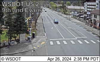
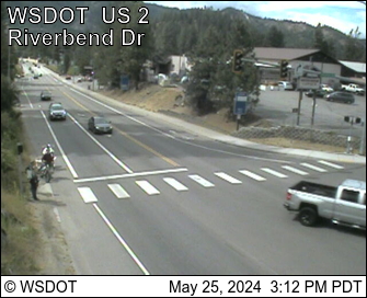
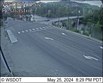
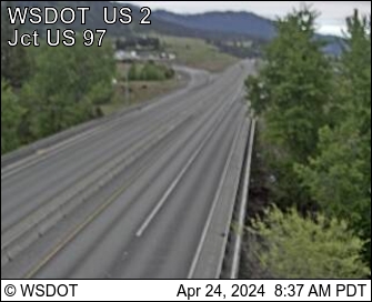
Webcams near Jabberwocky Tower
History around Jabberwocky Tower
- Jack Creek Fire2017
Towns near Jabberwocky Tower
- Leavenworth17 km away
- Roslyn34 km away
- Cle Elum34 km away
- Wenatchee40 km away
- East Wenatchee42 km away
- Rock Island53 km away