Jackass Mountain
2,006 m6,581 ft
Mountain · North Cascades · Canada
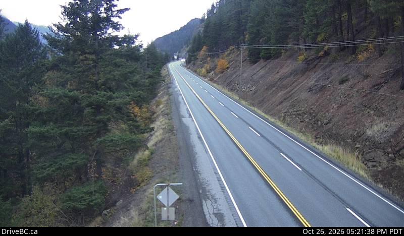
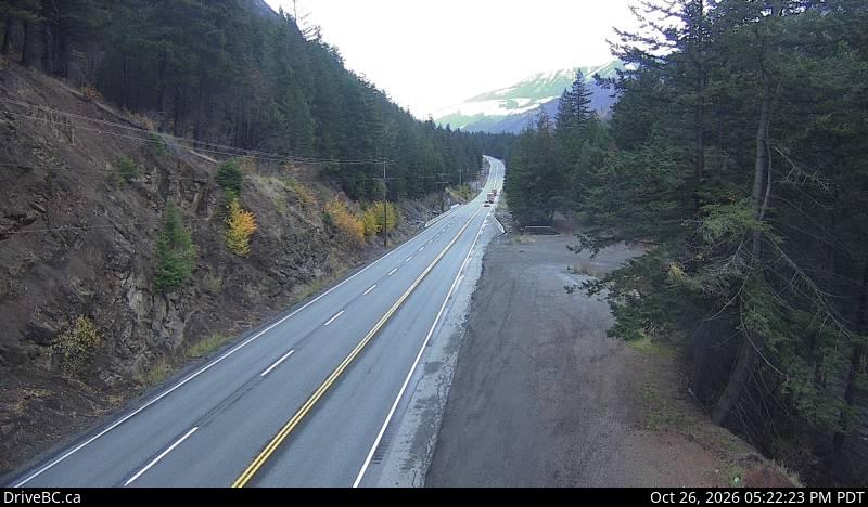
Jackass Mountain is a mountain in the North Cascades of the Cascade Range in southwestern British Columbia, Canada, located 18 km (11 mi) southeast of Lytton and 9 km (6 mi) south of Mount Lytton.
From Wikipedia, CC BY-SA · Read the article
At the summit · forecast for 7:00 PM
-5 °CCloudy · wind 7 km/h from the S
 See it in 3D
Weather at the summit of Jackass Mountain, 2,006 m
- 7:00 PM-5 °CS 7 km/h–
- 10:00 PM-5 °CS 5 km/h1.1 mm
- 1:00 AM-5 °CSE 6 km/h1.1 mm
- 4:00 AM-5 °CS 5 km/h1.3 mm
- 7:00 AM-5 °CSE 5 km/h1 mm
- 10:00 AM-5 °CS 6 km/h0.1 mm
- 1:00 PM-4 °CSW 5 km/h0.2 mm
- 4:00 PM-4 °CNW 3 km/h0.8 mm
| Day | Sky | High / low | Rain | Wind up to |
|---|---|---|---|---|
| Wed, Oct 28 | Partly cloudy | -3 °C / -7 °C | 5.4 mm | 6 km/h |
| Thu, Oct 29 | Cloudy | -4 °C / -9 °C | – | 6 km/h |
| Fri, Oct 30 | Snow | -6 °C / -9 °C | 5.6 mm | 6 km/h |
| Sat, Oct 31 | Partly cloudy | -4 °C / -13 °C | 0.4 mm | 1 km/h |
| Sun, Nov 1 | Clear | -4 °C / -11 °C | – | 5 km/h |
| Mon, Nov 2 | Cloudy | -1 °C / -10 °C | – | 5 km/h |
| Tue, Nov 3 | Mostly clear | -1 °C / -6 °C | – | 4 km/h |
Forecast by MET Norway (CC BY 4.0), updated 12:17 PM PDT. Times are local.
Facts
- What it is
- Mountain
- Height above sea level
- 2,006 m (6,581 ft)
- Prominence
- 316 m (1,037 ft)
- Range
- North Cascades
- Country
- Canada
- Coordinates
- 50.090°N 121.472°W
- Source
- Wikidata, CC0
Jackass Mountain
Mountain in British Columbia, Canada
Jackass Mountain is a mountain in the North Cascades of the Cascade Range in southwestern British Columbia, Canada, located 18 km (11 mi) southeast of Lytton and 9 km (6 mi) south of Mount Lytton. It is named for the muletrains that ventured north to the Cariboo gold fields; apparently some did not make it over the bluff and perished in a fall, hence the name.
From Wikipedia, CC BY-SA · Read the article
Peaks near Jackass Mountain
- Lytton Mountain2,049 m · 8.7 km awayOn the map
- Akasik Mountain2,161 m · 26 km awayOn the map
- Petlushkwohap Mountain2,939 m · 32 km awayOn the map
- Botanie Mountain2,077 m · 33 km awayOn the map
- Skihist Mountain2,968 m · 33 km awayOn the map
- Stein Mountain2,761 m · 35 km awayOn the map
- Arthur Seat1,672 m · 35 km awayOn the map
- Ibex Peak2,039 m · 51 km awayOn the map
- Mount Breakenridge2,395 m · 53 km awayOn the map
- Alpaca Peak1,865 m · 54 km awayOn the map
Highest in the North Cascades
- Glacier Peak10,541 ftOn the map
- Bonanza Peak9,516 ftOn the map
- Goode Mountain9,206 ftOn the map
- Buckner Mountain9,114 ftOn the map
- Mount Logan9,087 ftOn the map
- Eldorado Peak8,868 ftOn the map
- Forbidden Peak8,815 ftOn the map
- Clark Mountain8,602 ftOn the map
- Jackass Mountain2,006 mOn the map
Highest mountains in Canada
- Mount Logan5,959 mOn the map
- Mount Saint Elias18,009 ftOn the map
- Mount Lucania5,240 mOn the map
- King Peak5,173 mOn the map
- Mount Steele5,073 mOn the map
- Mount Wood4,850 mOn the map
- Mount Vancouver15,787 ftOn the map
- Mount Slaggard4,742 mOn the map
- Mount Macaulay4,700 mOn the map
- Mount Fairweather15,325 ftOn the map