Mountains in Austria
Kalteis
734 m2,408 ft
Mountain · Kobernaußerwald · Austria
Das Kalteis ist ein 734 m ü. A. hoher Berg im Hausruck-und-Kobernaußerwald-Zug im Hausruckviertel in Oberösterreich.
From German Wikipedia, CC BY-SA · Read the article
 See it in 3D
Facts
- What it is
- Mountain
- Height above sea level
- 734 m (2,408 ft)
- Range
- Kobernaußerwald
- Country
- Austria
- Coordinates
- 48.041°N 13.375°E
- Source
- Wikidata, CC0
Peaks near Kalteis
- Drachenwand1,176 m · 25 km awayOn the map
- Brennerin1,602 m · 29 km awayOn the map
- Schafberg1,782 m · 30 km awayOn the map
- Hochleckenkogel1,691 m · 30 km awayOn the map
- Brunnkogel1,708 m · 30 km awayOn the map
- Gaisberg1,287 m · 33 km awayOn the map
- Kapuzinerberg636 m · 35 km awayOn the map
- Großer Höllkogel1,862 m · 35 km awayOn the map
- Feuerkogel1,592 m · 36 km awayOn the map
- Festungsberg542 m · 37 km awayOn the map
Highest in the Kobernaußerwald
- Kalteis734 mOn the map
- Schranne727 mOn the map
Highest mountains in Austria
- Grossglockner3,798 mOn the map
- Wildspitze3,768 mOn the map
- Weißkugel3,738 mOn the map
- Großvenediger3,657 mOn the map
- Hintere Schwärze3,624 mOn the map
- Großes Wiesbachhorn3,564 mOn the map
- Ramolkogel3,549 mOn the map
- Schalfkogel3,537 mOn the map
- Watzespitze3,532 mOn the map
- Fineilspitze3,514 mOn the map
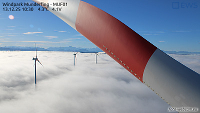
Webcams near Kalteis


History around Kalteis
Towns near Kalteis
- Salzburg36 km away
- Freilassing37 km away
- Burghausen43 km away
- Bad Reichenhall51 km away
- Wels51 km away
- Traunstein58 km away