Kopa Kondracka
2,005 m6,577 ft
Mountain · Western Tatras · Poland · Slovakia
Kopa Kondracka is a mountain in the Western Tatras mountain range, situated on the main ridge of the Tatras east of Małołączniak, on the border between Poland and Slovakia. It's the easternmost of the four summits making up the Czerwone Wierchy massif, as well as the lowest, with an elevation of 2005 meters.
From Wikipedia, CC BY-SA · Read the article
At the summit · forecast for 5:00 AM
-2 °CClear · wind 3 km/h from the N
 See it in 3D
Weather at the summit of Kopa Kondracka, 2,005 m
- 5:00 AM-2 °CN 3 km/h–
- 8:00 AM2 °CN 3 km/h–
- 11:00 AM4 °CW 6 km/h–
- 2:00 PM4 °CW 6 km/h–
- 5:00 PM-3 °CNE 4 km/h–
- 8:00 PM-3 °CNE 4 km/h–
- 11:00 PM-3 °CN 4 km/h–
- 2:00 AM-3 °CN 5 km/h–
| Day | Sky | High / low | Rain | Wind up to |
|---|---|---|---|---|
| Today | Clear | 4 °C / -3 °C | – | 8 km/h |
| Thu, Oct 29 | Cloudy | 1 °C / -3 °C | – | 10 km/h |
| Fri, Oct 30 | Partly cloudy | -1 °C / -4 °C | – | 10 km/h |
| Sat, Oct 31 | Snow | -2 °C / -5 °C | 3.6 mm | 8 km/h |
| Sun, Nov 1 | Snow | -5 °C / -7 °C | 8.2 mm | 8 km/h |
| Mon, Nov 2 | Cloudy | -6 °C / -9 °C | 0.5 mm | 6 km/h |
| Tue, Nov 3 | Snow | -5 °C / -7 °C | 14.4 mm | 11 km/h |
Forecast by MET Norway (CC BY 4.0), updated 08:17 PM GMT+1. Times are local.
Facts
- What it is
- Mountain
- Height above sea level
- 2,005 m (6,577 ft)
- Range
- Western Tatras
- Coordinates
- 49.236°N 19.932°E
- Source
- Wikidata, CC0
Kopa Kondracka
Mountain between Poland and Slovakia
Kopa Kondracka is a mountain in the Western Tatras mountain range, situated on the main ridge of the Tatras east of Małołączniak, on the border between Poland and Slovakia. It's the easternmost of the four summits making up the Czerwone Wierchy massif, as well as the lowest, with an elevation of 2005 meters. The three main valleys over which it rises are the Mała Łąka Valley, the Bystra Valley and the Tichá Valley.
From Wikipedia, CC BY-SA · Read the article
Peaks near Kopa Kondracka
- Malolučniak2,105 m · 0.9 km awayOn the map
- Giewont1,895 m · 1.6 km awayOn the map
- Kresanica2,122 m · 1.7 km awayOn the map
- Ciemniak2,096 m · 2.2 km awayOn the map
- Kasprowy Wierch1,987 m · 3.6 km awayOn the map
- Świnica2,302 m · 5.9 km awayOn the map
- Kozi Wierch2,291 m · 7.3 km awayOn the map
- Gubałówka1,126 m · 7.9 km awayOn the map
- Bystrá2,248 m · 8.4 km awayOn the map
- Hrubý štít2,172 m · 9 km awayOn the map
Highest in the Western Tatras
- Bystrá2,248 mOn the map
- Baranec2,184 mOn the map
- Veľká Kamenistá2,127 mOn the map
- Kresanica2,122 mOn the map
- Veľká kopa2,052 mOn the map
- Kopa Kondracka2,005 mOn the map
Highest mountains in Poland
- Świnica2,302 mOn the map
- Kresanica2,122 mOn the map
- Kopa Kondracka2,005 mOn the map
- Babia Góra1,725 mOn the map
- Sněžka1,603 mOn the map
- Pilsko1,557 mOn the map
- Wielki Szyszak1,510 mOn the map
- Smogornia1,490 mOn the map
- Mały Szyszak1,440 mOn the map
- Králický Sněžník1,423 mOn the map
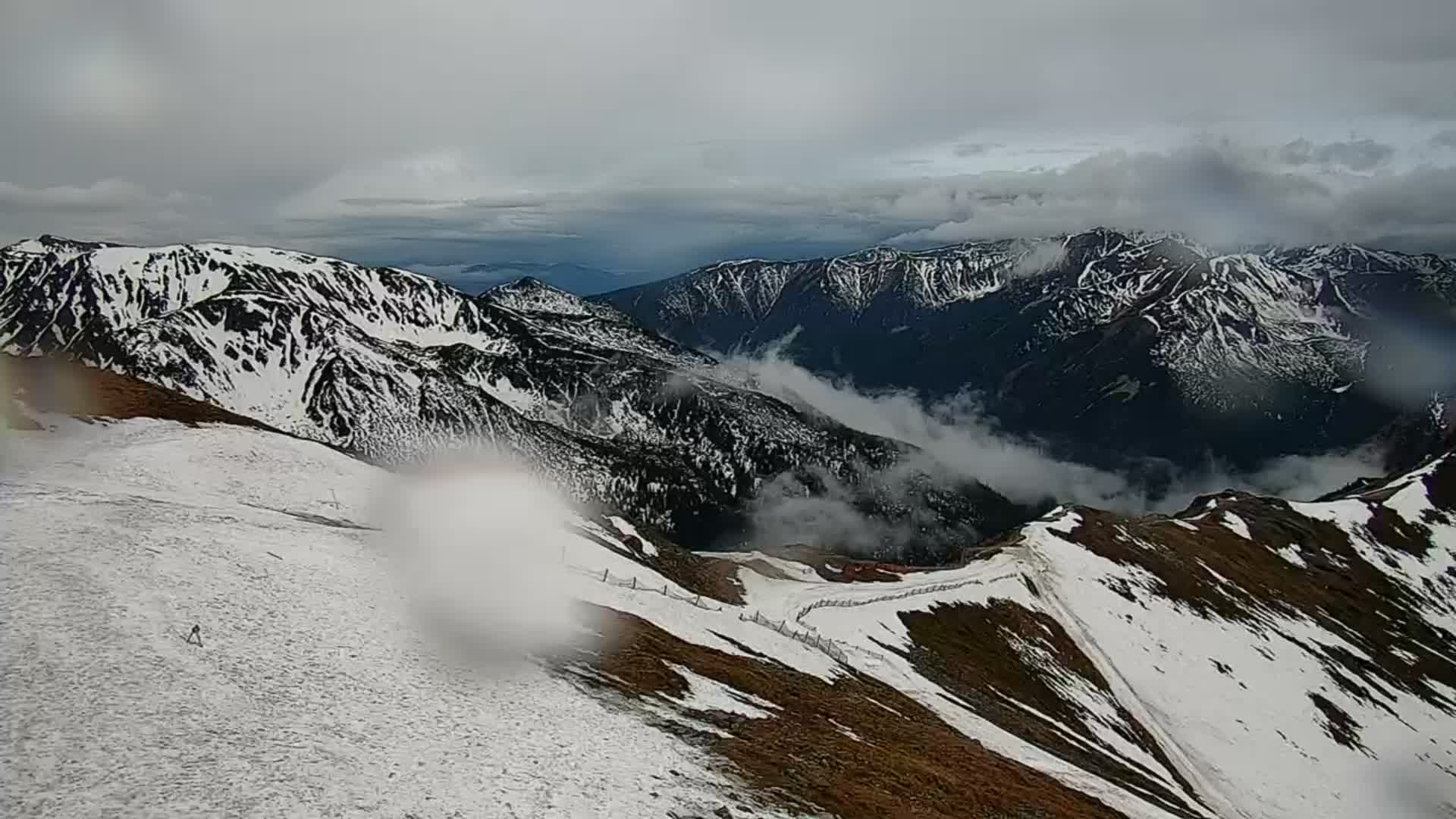
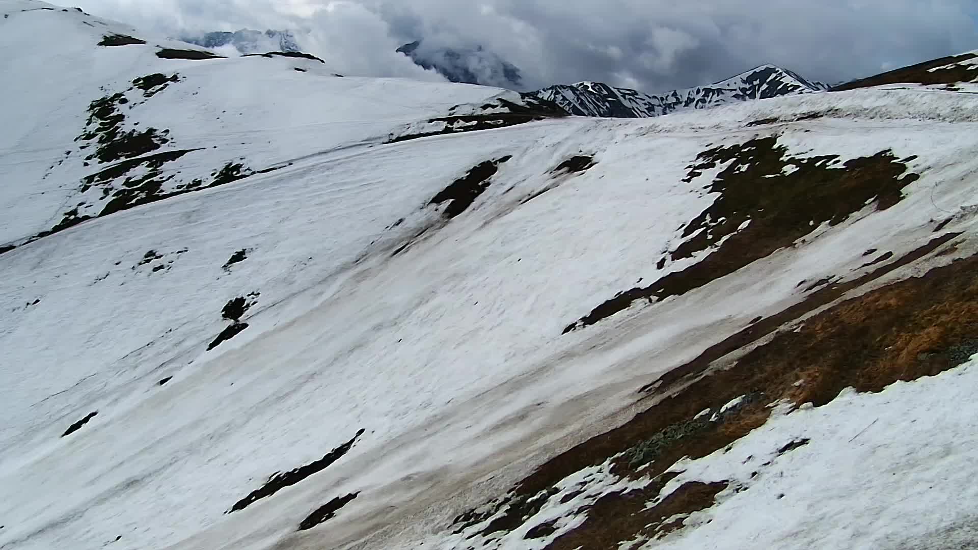
Webcams near Kopa Kondracka


History around Kopa Kondracka
Towns near Kopa Kondracka
- Zakopane7.1 km away
- Nowy Targ28 km away
- Liptovský Mikuláš28 km away
- Poprad33 km away
- Kežmarok38 km away
- Dolný Kubín46 km away