Kotel
1,435 m4,708 ft
Mountain · Giant Mountains · Czechia
Der Kotel, 1435 m, liegt im Böhmischen Kamm des Riesengebirges. Er ist nach dem Hohen Rad und dem Veilchenstein die dritthöchste Erhebung des westlichen Riesengebirges und der höchste Punkt des Liberecký kraj.
From German Wikipedia, CC BY-SA · Read the article
At the summit · forecast for 2:00 AM
2 °CSleet · wind 16 km/h from the N
 See it in 3D
Weather at the summit of Kotel, 1,435 m
- 2:00 AM2 °CN 16 km/h0.5 mm
- 5:00 AM1 °CN 15 km/h–
- 8:00 AM1 °CN 13 km/h–
- 11:00 AM3 °CN 9 km/h–
- 2:00 PM4 °CN 8 km/h–
- 5:00 PM0 °CN 10 km/h–
- 8:00 PM-0 °CN 10 km/h–
- 11:00 PM-1 °CNE 10 km/h–
| Day | Sky | High / low | Rain | Wind up to |
|---|---|---|---|---|
| Today | Mostly clear | 4 °C / -1 °C | 0.5 mm | 16 km/h |
| Fri, Oct 30 | Mostly clear | 3 °C / 0 °C | 0.6 mm | 13 km/h |
| Sat, Oct 31 | Snow | 1 °C / -1 °C | 7.2 mm | 13 km/h |
| Sun, Nov 1 | Cloudy | -1 °C / -3 °C | 5 mm | 11 km/h |
| Mon, Nov 2 | Cloudy | -2 °C / -4 °C | 0.3 mm | 7 km/h |
| Tue, Nov 3 | Light snow | -2 °C / -4 °C | 2.6 mm | 15 km/h |
| Wed, Nov 4 | Cloudy | -2 °C / -5 °C | – | 9 km/h |
Forecast by MET Norway (CC BY 4.0), updated 08:20 PM GMT+1. Times are local.
Facts
- What it is
- Mountain
- Height above sea level
- 1,435 m (4,708 ft)
- Prominence
- 100 m (328 ft)
- Isolation
- 3 km to higher ground
- Range
- Giant Mountains
- Parent peak
- Wielki Szyszak
- Country
- Czechia
- Coordinates
- 50.752°N 15.530°E
- Source
- Wikidata, CC0
Kotel (Berg)
Berg im Riesengebirge, Tschechien
Der Kotel, 1435 m, liegt im Böhmischen Kamm des Riesengebirges. Er ist nach dem Hohen Rad und dem Veilchenstein die dritthöchste Erhebung des westlichen Riesengebirges und der höchste Punkt des Liberecký kraj. Die Südostflanke ist steil und felsdurchsetzt; nach Norden fällt der Berg ziemlich flach zur Pantschewiese ab. Der Berg liegt in der Ruhezone des Nationalparkes und wird daher nur selten bestiegen.
From German Wikipedia, CC BY-SA · Read the article
Peaks near Kotel
- Łabski Szczyt1,472 m · 3.3 km awayOn the map
- Wielki Szyszak1,510 m · 3.9 km awayOn the map
- Szrenica1,362 m · 4.5 km awayOn the map
- Śmielec1,424 m · 4.6 km awayOn the map
- Czeskie Kamienie1,416 m · 5.1 km awayOn the map
- Śląskie Kamienie1,413 m · 5.8 km awayOn the map
- Mały Szyszak1,440 m · 8.4 km awayOn the map
- Smogornia1,490 m · 10 km awayOn the map
- Luční hora1,556 m · 11 km awayOn the map
- Studniční hora1,555 m · 13 km awayOn the map
Parent peak
The nearest higher peak its prominence is measured to.
- Wielki Szyszak1,510 mOn the map
Highest in the Giant Mountains
- Smogornia1,490 mOn the map
- Mały Szyszak1,440 mOn the map
- Kotel1,435 mOn the map
- Kozí hřbety1,387 mOn the map
- Luboch1,296 mOn the map
- Czoło1,270 mOn the map
Highest mountains in Czechia
- Sněžka1,603 mOn the map
- Wielki Szyszak1,510 mOn the map
- Praděd1,491 mOn the map
- Smogornia1,490 mOn the map
- Mały Szyszak1,440 mOn the map
- Kotel1,435 mOn the map
- Keprník1,423 mOn the map
- Králický Sněžník1,423 mOn the map
- Plechý / Plöckenstein1,379 mOn the map
- Bayerischer Plöckenstein1,362 mOn the map
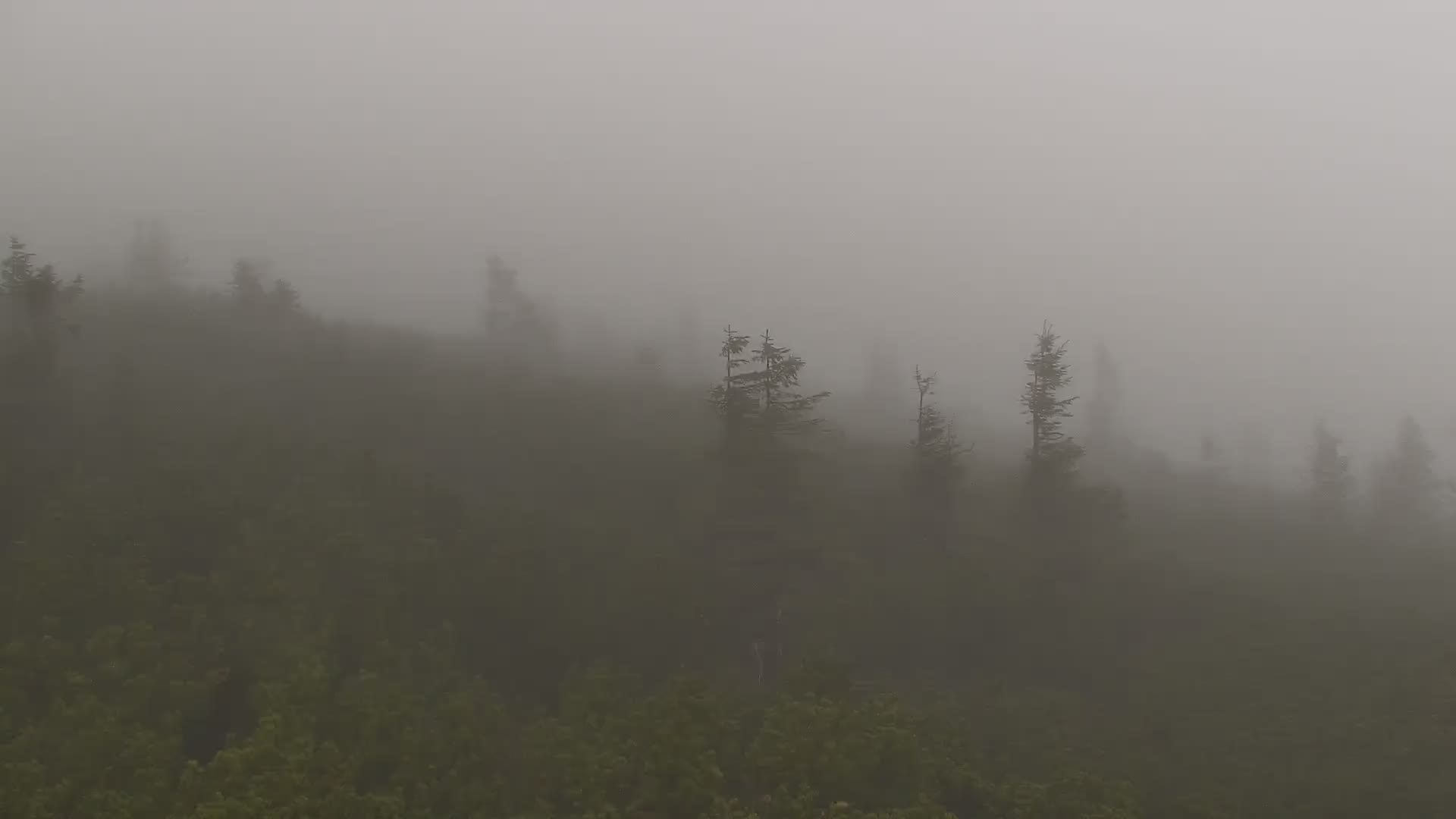
Webcams near Kotel


History around Kotel
Towns near Kotel
- Jelenia Góra22 km away
- Jablonec nad Nisou25 km away
- Liberec33 km away
- Trutnov34 km away
- Kamienna Góra35 km away
- Jičín37 km away