Mountains in Slovakia
See it in 3DKotník
883 m2,896 ft
Mountain · Levoča Mountains · Slovakia
At the summit · forecast for 3:00 AM
-1 °CMostly clear · wind 9 km/h from the NW
Weather at the summit of Kotník, 883 m
- 3:00 AM-1 °CNW 9 km/h–
- 6:00 AM-2 °CW 8 km/h–
- 9:00 AM4 °CNW 11 km/h–
- 12:00 PM7 °CN 12 km/h–
- 3:00 PM7 °CN 10 km/h–
- 6:00 PM4 °CN 8 km/h–
- 9:00 PM4 °CNE 5 km/h–
- 12:00 AM4 °CS 3 km/h–
| Day | Sky | High / low | Rain | Wind up to |
|---|---|---|---|---|
| Today | Mostly clear | 8 °C / -2 °C | – | 12 km/h |
| Wed, Oct 28 | Clear | 11 °C / 2 °C | – | 9 km/h |
| Thu, Oct 29 | Light rain | 6 °C / 4 °C | 1.7 mm | 13 km/h |
| Fri, Oct 30 | Cloudy | 6 °C / 4 °C | 1.2 mm | 11 km/h |
| Sat, Oct 31 | Partly cloudy | 7 °C / 2 °C | 0.2 mm | 12 km/h |
| Sun, Nov 1 | Cloudy | 7 °C / 2 °C | – | 4 km/h |
| Mon, Nov 2 | Cloudy | 5 °C / 3 °C | 2.7 mm | 28 km/h |
Forecast by MET Norway (CC BY 4.0), updated 02:17 AM GMT+1. Times are local.
Facts
- What it is
- Mountain
- Height above sea level
- 883 m (2,896 ft)
- Range
- Levoča Mountains
- Country
- Slovakia
- Coordinates
- 49.266°N 20.609°E
- Source
- Wikidata, CC0
Peaks near Kotník
- Čierna hora1,289 m · 8.2 km awayOn the map
- Trzy Korony982 m · 22 km awayOn the map
- Veľká Svišťovka2,038 m · 28 km awayOn the map
- Kežmarský štít2,558 m · 29 km awayOn the map
- Jahňací štít2,230 m · 30 km awayOn the map
- Lomnický štít2,634 m · 30 km awayOn the map
- Havran2,152 m · 30 km awayOn the map
- Pyšný štít2,621 m · 30 km awayOn the map
- Strapatá veža2,565 m · 30 km awayOn the map
- Malý Pyšný štít2,590 m · 30 km awayOn the map
Highest in the Levoča Mountains
- Čierna hora1,289 mOn the map
- Repisko1,251 mOn the map
- Zámčisko1,236 mOn the map
- Kotník883 mOn the map
- Marian Hill761 mOn the map
Highest mountains in Slovakia
- Gerlachovský štít2,654 mOn the map
- Lomnický štít2,634 mOn the map
- Ľadový štít2,627 mOn the map
- Kriváň2,494 mOn the map
- Slavkovský štít2,452 mOn the map
- Świnica2,302 mOn the map
- Bystrá2,248 mOn the map
- Kotník883 mOn the map
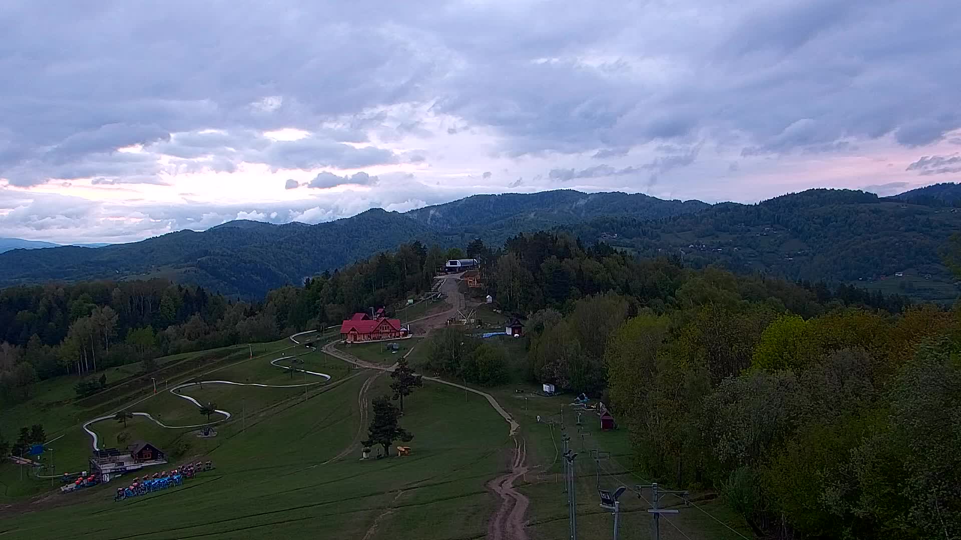
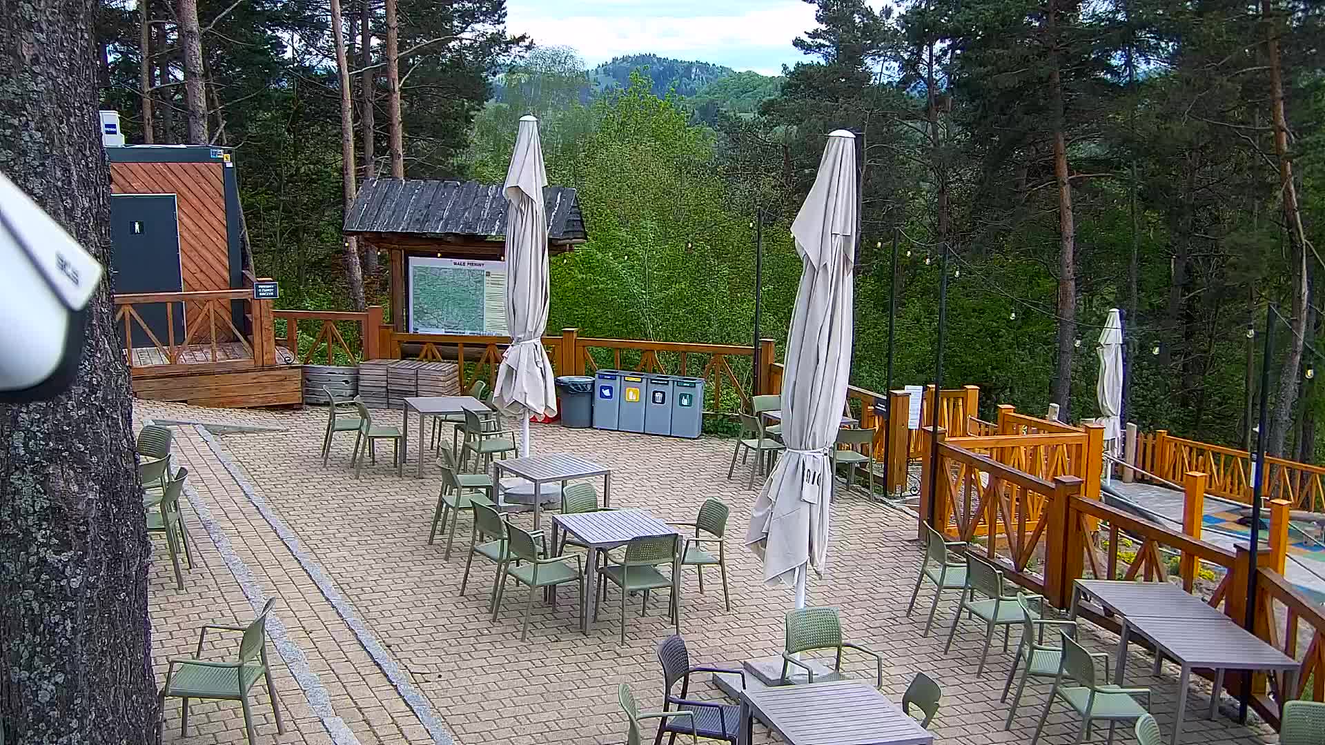
Webcams near Kotník
History around Kotník
- Treaty of Lubowla1412
- Spiš Pawn1412
- Nehoda u Podolínce1974
Towns near Kotník
- Stará Ľubovňa6.7 km away
- Kežmarok19 km away
- Poprad32 km away
- Spišská Nová Ves36 km away
- Nowy Sącz40 km away
- Nowy Targ48 km away