 See it in 3D

Facts
- What it is
- Mountain
- Height above sea level
- 667 m (2,187 ft)
- Prominence
- 244 m (801 ft)
- Isolation
- 2.6 km to higher ground
- Range
- Bregenz Forest Mountains
- Parent peak
- Zwurms
- Country
- Austria
- Coordinates
- 47.336°N 9.617°E
- Source
- Wikidata, CC0
Peaks near Kummenberg
- Drei Schwestern2,053 m · 18 km awayOn the map
- Damülser Mittagsspitze2,095 m · 20 km awayOn the map
- Glatthorn2,133 m · 21 km awayOn the map
- Pfänder1,062 m · 23 km awayOn the map
- Säntis2,501 m · 23 km awayOn the map
- Naafkopf2,571 m · 31 km awayOn the map
- Diedamskopf2,090 m · 31 km awayOn the map
- Grauspitz2,599 m · 32 km awayOn the map
- Falknis2,562 m · 32 km awayOn the map
- Schesaplana2,965 m · 32 km awayOn the map
Peaks below Kummenberg
- Udelberg515 mOn the map
Highest in the Bregenz Forest Mountains
- Damülser Mittagsspitze2,095 mOn the map
- Winterstaude1,877 mOn the map
- Hirschberg1,834 mOn the map
- Kummenberg667 mOn the map
Highest mountains in Austria
- Grossglockner3,798 mOn the map
- Wildspitze3,768 mOn the map
- Weißkugel3,738 mOn the map
- Großvenediger3,657 mOn the map
- Hintere Schwärze3,624 mOn the map
- Großes Wiesbachhorn3,564 mOn the map
- Ramolkogel3,549 mOn the map
- Schalfkogel3,537 mOn the map
- Watzespitze3,532 mOn the map
- Fineilspitze3,514 mOn the map
Webcams near Kummenberg
A14, bei Götzis-Koblach, Blickrichtung Hörbranz A / D - Km 29,081 km from the summit
A14, bei Klaus-Koblach, Blickrichtung Hörbranz A / D - Km 29,781.4 km from the summit
A14, bei Altach, Blickrichtung Innsbruck - Km 26,202.9 km from the summit
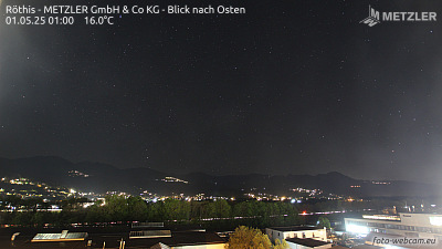 Röthis - METZLER GmbH & Co KG - Blick nach Osten3.3 km from the summit