Mountains in Poland
Łączka Dune
Hill · Poland
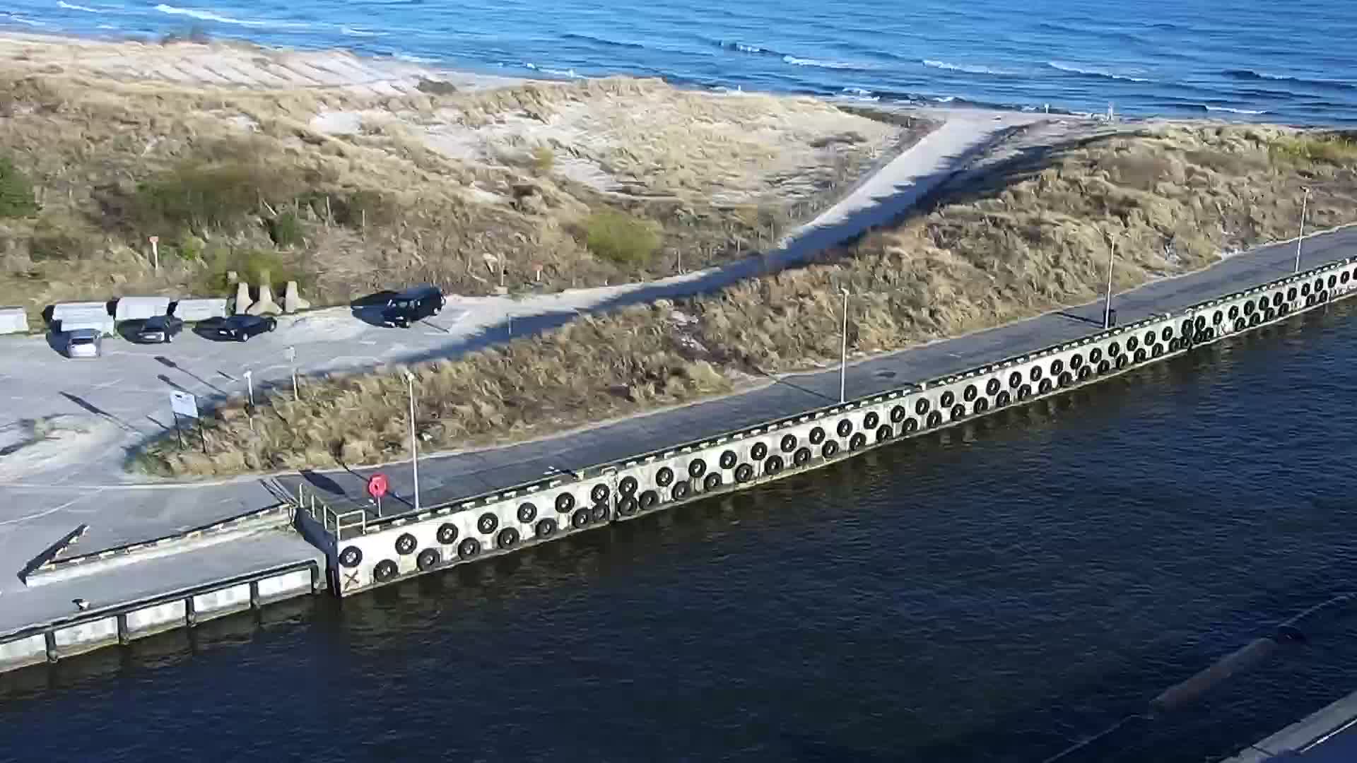
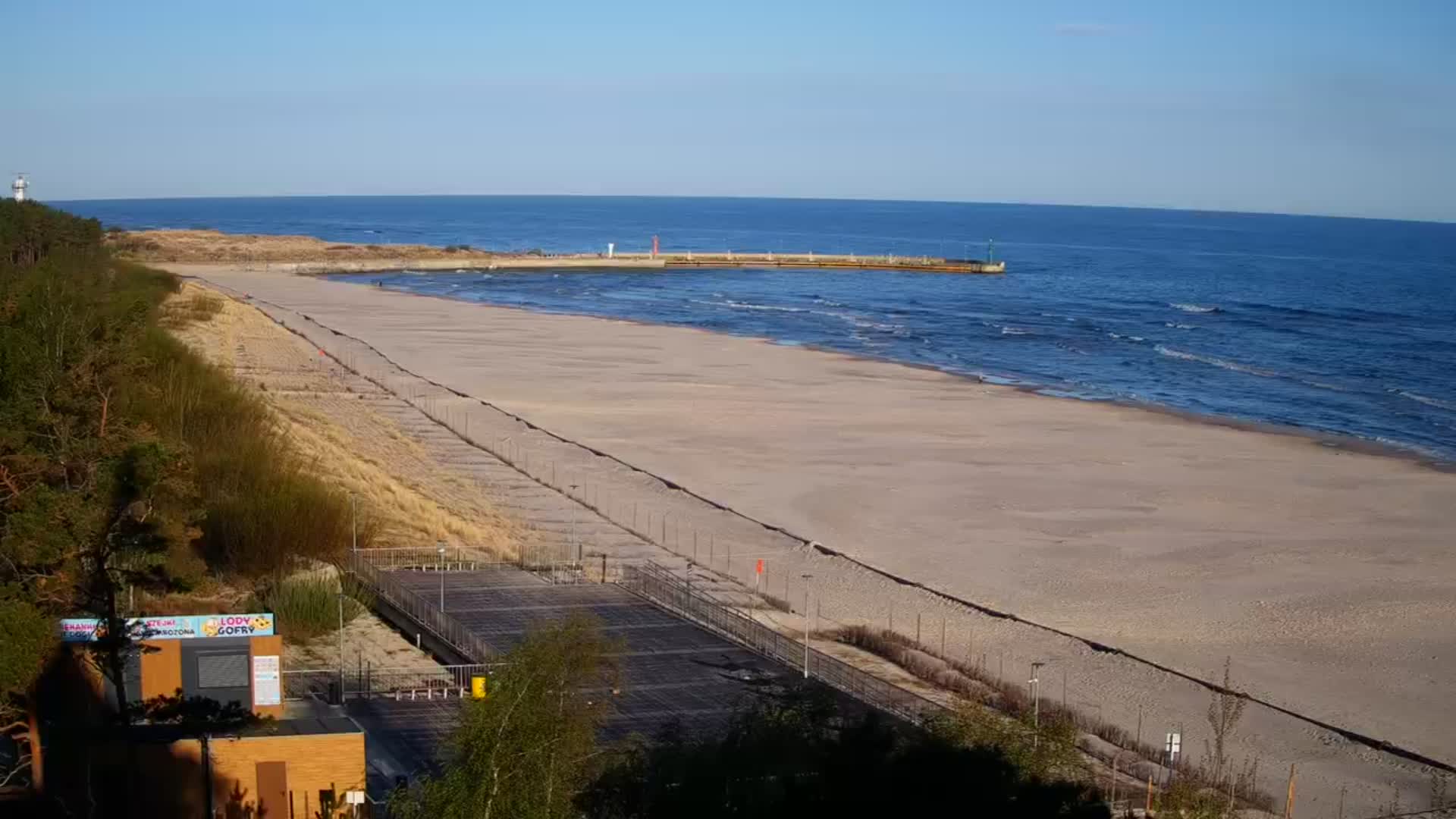
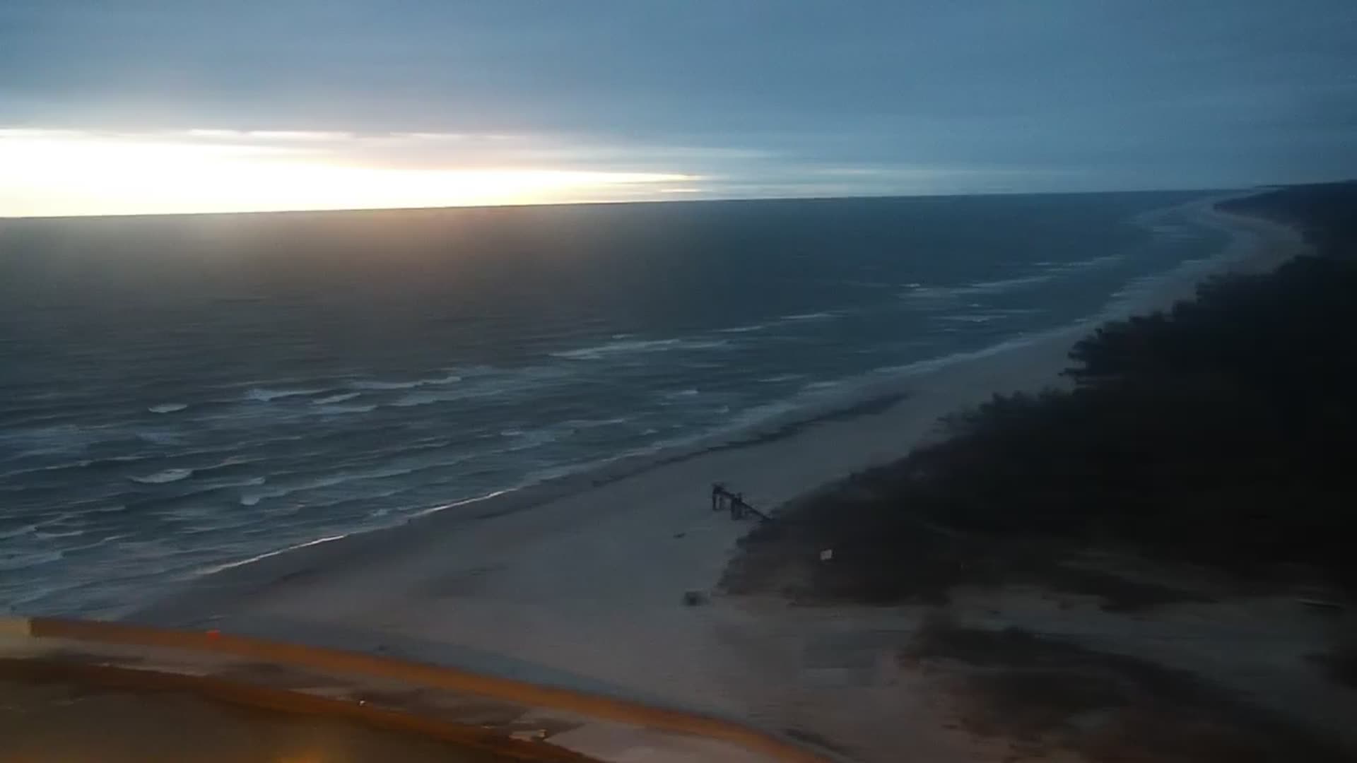
Die Lontzkedüne ist die größte Wanderdüne an der pommerschen Ostseeküste. Sie hat die Form einer Sichel oder eines Halbmondes und ist Teil des Dünengebiets, das eine Fläche von ungefähr 500 Hektar umfasst. Die naturbelassene Düne liegt auf der 17 km langen Nehrung zwischen dem Lebasee und der Ostsee.
From German Wikipedia, CC BY-SA · Read the article
At the summit · forecast for 10:00 PM
12 °CCloudy · wind 21 km/h from the NW
 See it in 3D
Łączka Dune weather forecast
- 10:00 PM12 °CNW 21 km/h–
- 1:00 AM12 °CNW 23 km/h–
- 4:00 AM12 °CNW 18 km/h–
- 7:00 AM10 °CSW 13 km/h–
- 10:00 AM10 °CSW 17 km/h–
- 1:00 PM12 °CSW 18 km/h–
- 4:00 PM11 °CSW 17 km/h–
- 7:00 PM11 °CSW 17 km/h–
| Day | Sky | High / low | Rain | Wind up to |
|---|---|---|---|---|
| Thu, Oct 29 | Partly cloudy | 12 °C / 9 °C | – | 23 km/h |
| Fri, Oct 30 | Cloudy | 12 °C / 11 °C | – | 28 km/h |
| Sat, Oct 31 | Partly cloudy | 11 °C / 10 °C | – | 23 km/h |
| Sun, Nov 1 | Partly cloudy | 10 °C / 8 °C | – | 15 km/h |
| Mon, Nov 2 | Cloudy | 9 °C / 7 °C | 2.4 mm | 17 km/h |
| Tue, Nov 3 | Cloudy | 10 °C / 9 °C | – | 26 km/h |
| Wed, Nov 4 | Partly cloudy | 9 °C / 8 °C | – | 26 km/h |
Forecast by MET Norway (CC BY 4.0), updated 08:34 PM GMT+1. Times are local.
Facts
- What it is
- Hill
- Country
- Poland
- Coordinates
- 54.748°N 17.425°E
- Source
- Wikidata, CC0
Peaks near Łączka Dune
- Rowokół115 m · 17 km awayOn the map
- hill-9346724Hill · 20 km awayOn the map
- hill-11740543Hill · 20 km awayOn the map
- hill-9381061Hill · 31 km awayOn the map
- hill-9283536Hill · 39 km awayOn the map
Highest mountains in Poland
- Świnica2,302 mOn the map
- Kresanica2,122 mOn the map
- Babia Góra1,725 mOn the map
- Sněžka1,603 mOn the map
- Pilsko1,557 mOn the map
- Wielki Szyszak1,510 mOn the map
- Smogornia1,490 mOn the map
- Mały Szyszak1,440 mOn the map
- Králický Sněžník1,423 mOn the map