 See it in 3D
Facts
- What it is
- Mountain
- Height above sea level
- 1,651 m (5,417 ft)
- Prominence
- 214 m (703 ft)
- Isolation
- 3.3 km to higher ground
- Country
- Norway
- Coordinates
- 61.978°N 7.399°E
- Source
- Wikidata, CC0
Peaks near Langvasseggi
- Kvitlenova1,898 m · 5.1 km awayOn the map
- Dalsnibba1,476 m · 10 km awayOn the map
- Lodalskåpa2,083 m · 23 km awayOn the map
- Skåla1,848 m · 27 km awayOn the map
- Tverrådalskyrkja2,088 m · 30 km awayOn the map
- Puttegga1,999 m · 30 km awayOn the map
- Gjelhøi1,981 m · 36 km awayOn the map
- Gråhø i Lesja2,013 m · 37 km awayOn the map
- Kvitegga1,700 m · 39 km awayOn the map
- Hornindalsrokken1,527 m · 40 km awayOn the map
Highest mountains in Norway
- Galdhøpiggen2,469 mOn the map
- Glittertind2,464 mOn the map
- Store Skagastølstind2,406 mOn the map
- Surtningssue2,368 mOn the map
- Store Memurutinden2,365 mOn the map
- Store Hellstugutinden2,346 mOn the map
- Store Knutsholstinden2,339 mOn the map
- Tjørnholstind2,323 mOn the map
- Bukkehøe2,314 mOn the map
- Dovrefjell2,286 mOn the map
Webcams near Langvasseggi
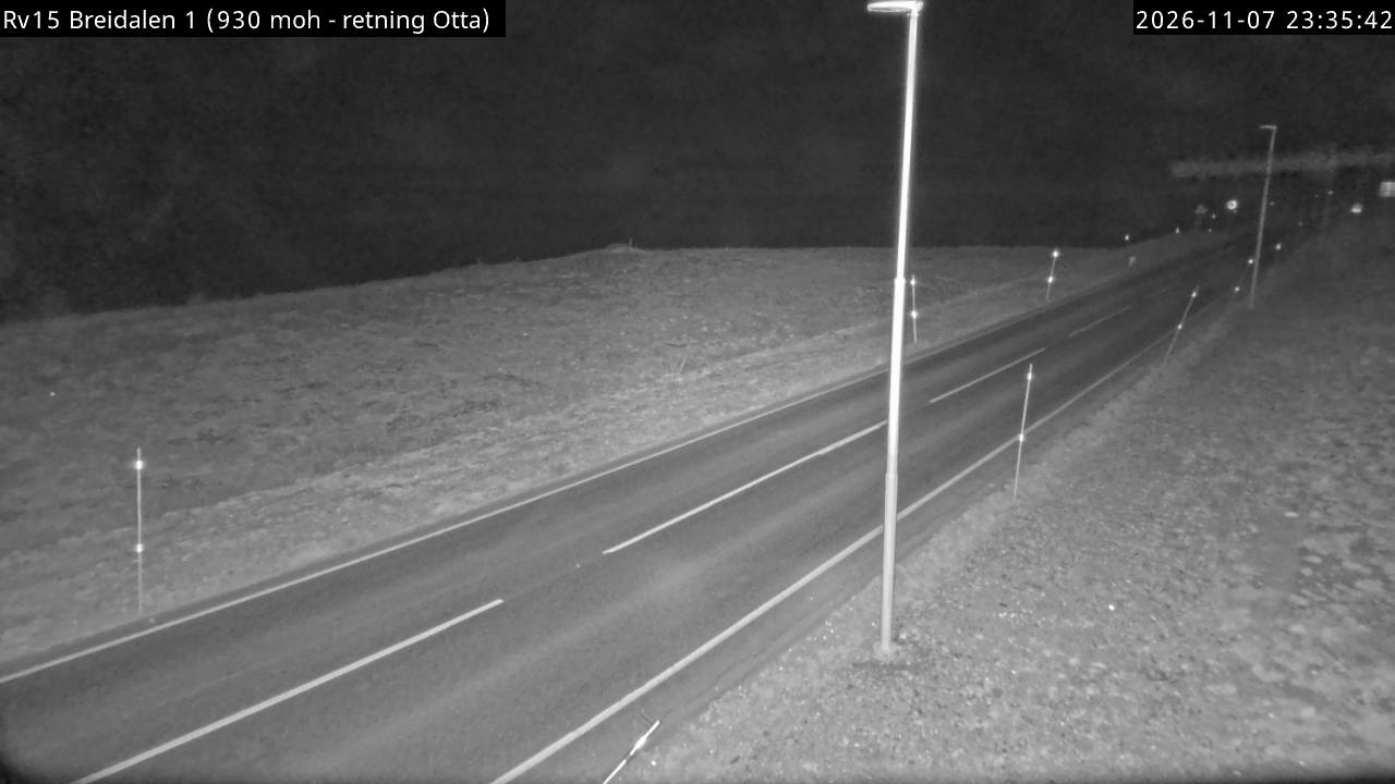
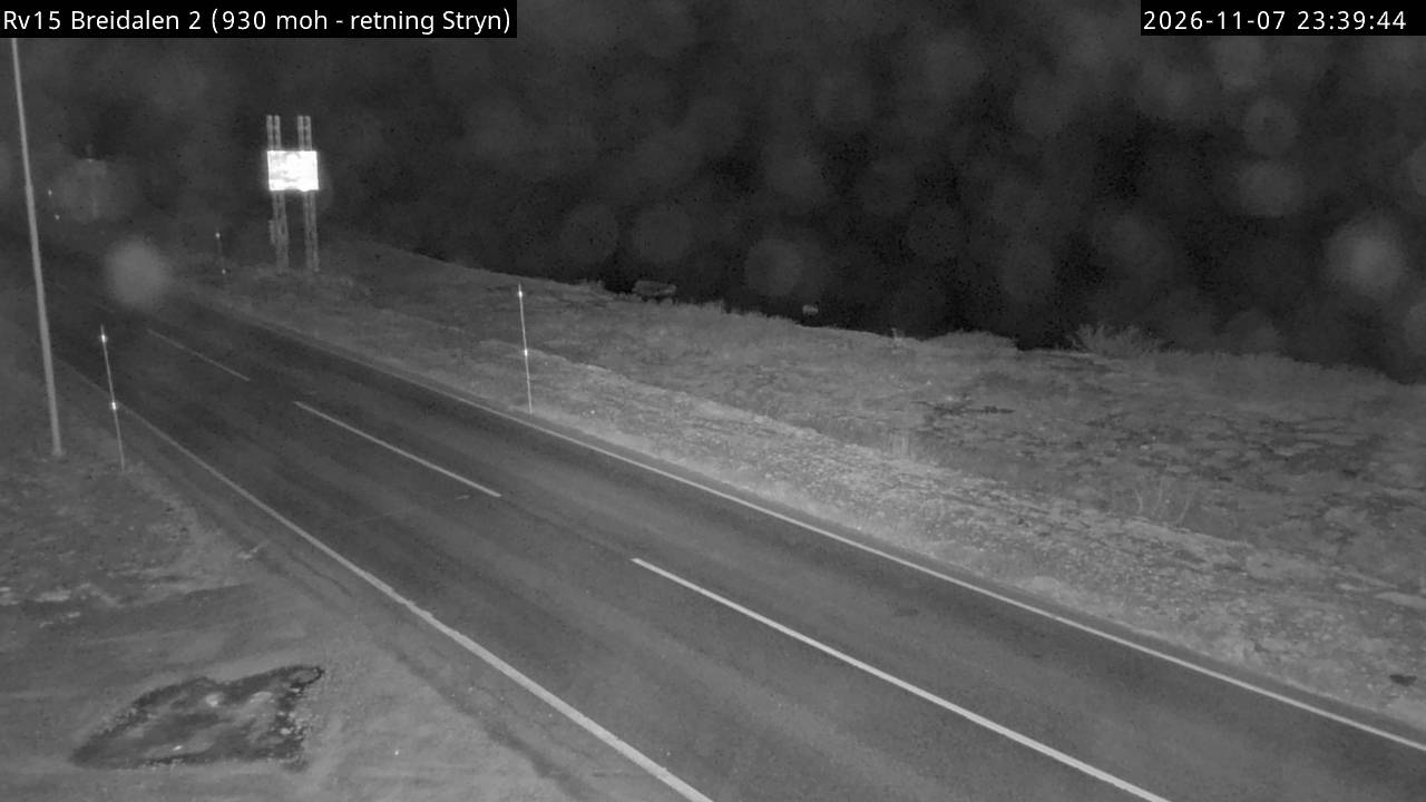
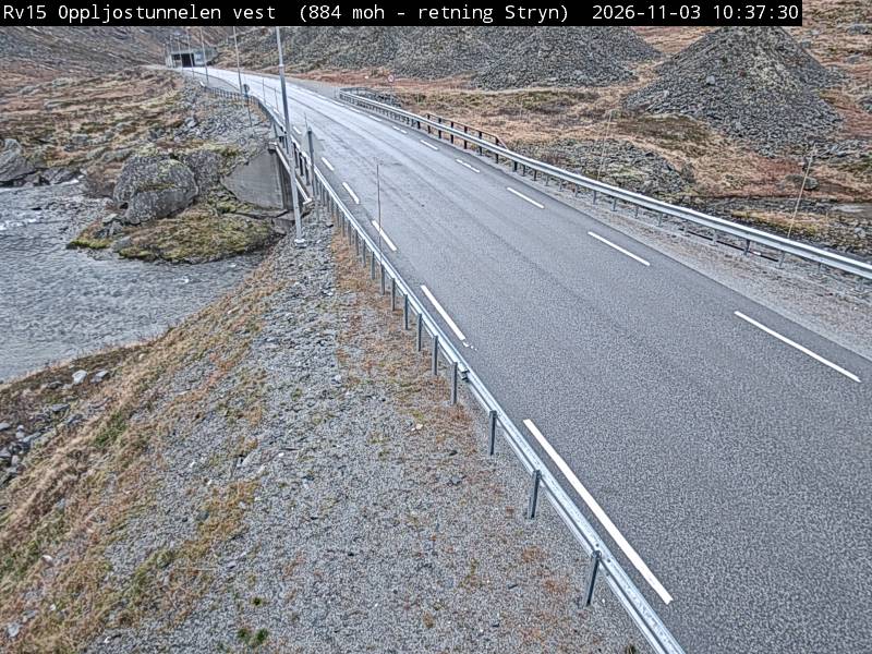

History around Langvasseggi
- Espås-saka1996