Laurel Mountain
3,592 ft1,095 m
Mountain · Central Oregon Coast Range · United States
Laurel Mountain is the fourth highest peak in Oregon's Central Coast Range with an elevation of 3,592 feet (1,095 m). The peak is located in Polk County west of the city of Dallas.
From Wikipedia, CC BY-SA · Read the article
At the summit · forecast for 11:00 AM
40 °FLight rain · wind 7 mph from the NW
Weather at the summit of Laurel Mountain, 3,592 ft
- 11:00 AM40 °FNW 7 mph0.02 in
- 2:00 PM41 °FW 9 mph–
- 5:00 PM40 °FW 10 mph–
- 8:00 PM35 °FSW 6 mph0.03 in
- 11:00 PM37 °FSW 10 mph0.24 in
- 2:00 AM38 °FSW 11 mph0.16 in
- 5:00 AM37 °FW 9 mph0.08 in
- 8:00 AM36 °FSW 7 mph0.03 in
| Day | Sky | High / low | Rain | Wind up to |
|---|---|---|---|---|
| Today | Light rain | 42 °F / 35 °F | 0.11 in | 10 mph |
| Wed, Oct 28 | Rain | 40 °F / 33 °F | 0.57 in | 11 mph |
| Thu, Oct 29 | Heavy rain | 38 °F / 32 °F | 0.2 in | 5 mph |
| Fri, Oct 30 | Heavy rain | 36 °F / 33 °F | 0.24 in | 8 mph |
| Sat, Oct 31 | Rain | 40 °F / 33 °F | 0.09 in | 3 mph |
| Sun, Nov 1 | Partly cloudy | 40 °F / 33 °F | – | 4 mph |
| Mon, Nov 2 | Cloudy | 45 °F / 35 °F | – | 5 mph |
Forecast by MET Norway (CC BY 4.0), updated 10:17 AM PDT. Times are local.
Facts
- What it is
- Mountain
- Height above sea level
- 3,592 ft (1,095 m)
- Prominence
- 2,829 ft (862 m)
- Range
- Central Oregon Coast Range
- Country
- United States
- Coordinates
- 44.923°N 123.573°W
- Source
- Wikidata, CC0
Laurel Mountain (Oregon)
Peak in Oregon, United States
Laurel Mountain is the fourth highest peak in Oregon's Central Coast Range with an elevation of 3,592 feet (1,095 m). The peak is located in Polk County west of the city of Dallas. In 1997 it was labeled the wettest place in Oregon, and in 1996 it set an all-time calendar year rainfall record for the contiguous United States with 204.04 inches (5,182.6 mm).
From Wikipedia, CC BY-SA · Read the article
Peaks near Laurel Mountain
- Mount Baldy414 ft · 25 km awayOn the map
- Mount Hebo3,157 ft · 35 km awayOn the map
- Amity Hills791 ft · 40 km awayOn the map
- Marys Peak4,101 ft · 47 km awayOn the map
- Trask Mountain3,426 ft · 51 km awayOn the map
- Grass Mountain3,607 ft · 56 km awayOn the map
Highest in the Central Oregon Coast Range
- Marys Peak4,101 ftOn the map
- Laurel Mountain3,592 ftOn the map
Highest mountains in United States
- Denali20,308 ftOn the map
- Mount Saint Elias18,009 ftOn the map
- Mount Foraker17,402 ftOn the map
- Mount Bona16,535 ftOn the map
- Mount Blackburn16,390 ftOn the map
- Mount Sanford16,237 ftOn the map
- Mount Vancouver15,787 ftOn the map
- Mount Churchill15,636 ftOn the map
- Mount Fairweather15,325 ftOn the map
- Mount Hubbard14,951 ftOn the map
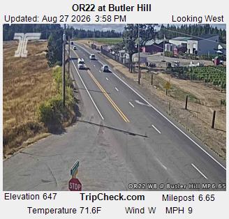
Webcams near Laurel Mountain



History around Laurel Mountain
Towns near Laurel Mountain
- Dallas20 km away
- Monmouth28 km away
- Independence30 km away
- Salem42 km away
- McMinnville43 km away
- Keizer44 km away