Mountains in Norway
See it in 3DLoppatinden
Mountain · Norway
At the summit · forecast for 6:00 AM
0 °CCloudy · wind 30 km/h from the SW
Loppatinden weather forecast
- 6:00 AM0 °CSW 30 km/h–
- 9:00 AM1 °CSW 26 km/h–
- 12:00 PM1 °CSW 15 km/h–
- 3:00 PM1 °CSW 18 km/h–
- 6:00 PM-3 °CSW 13 km/h–
- 9:00 PM-1 °CS 21 km/h–
- 12:00 AM-0 °CS 36 km/h–
- 3:00 AM-0 °CSW 34 km/h–
| Day | Sky | High / low | Rain | Wind up to |
|---|---|---|---|---|
| Today | Partly cloudy | 1 °C / -3 °C | – | 32 km/h |
| Wed, Oct 28 | Sleet | 2 °C / -1 °C | 5.1 mm | 42 km/h |
| Thu, Oct 29 | Partly cloudy | -1 °C / -2 °C | – | 35 km/h |
| Fri, Oct 30 | Sleet | 1 °C / -1 °C | 5.9 mm | 28 km/h |
| Sat, Oct 31 | Snow | 0 °C / -1 °C | 3.4 mm | 35 km/h |
| Sun, Nov 1 | Snow | -0 °C / -2 °C | 5 mm | 34 km/h |
| Mon, Nov 2 | Cloudy | -2 °C / -3 °C | 5.1 mm | 32 km/h |
Forecast by MET Norway (CC BY 4.0), updated 04:30 AM GMT+1. Times are local.
Facts
- What it is
- Mountain
- Country
- Norway
- Coordinates
- 70.178°N 22.137°E
- Source
- Wikidata, CC0
Peaks near Loppatinden
- Svartfjellet1,162 m · 8 km awayOn the map
- Seilandstuva1,078 m · 47 km awayOn the map
- Skoddevarre434 m · 47 km awayOn the map
- Komagaksla659 m · 49 km awayOn the map
- Fjelltindnasen1 m · 6.5 km awayOn the map
- GoađđáMountain · 7.9 km awayOn the map
- AmmagáisáMountain · 9.7 km awayOn the map
- mountain-61081227Mountain · 12 km awayOn the map
- Storfjellet1,067 m · 12 km awayOn the map
- mountain-603214651,013 m · 13 km awayOn the map
Highest mountains in Norway
- Galdhøpiggen2,469 mOn the map
- Glittertind2,464 mOn the map
- Store Skagastølstind2,406 mOn the map
- Surtningssue2,368 mOn the map
- Store Memurutinden2,365 mOn the map
- Store Hellstugutinden2,346 mOn the map
- Store Knutsholstinden2,339 mOn the map
- Tjørnholstind2,323 mOn the map
- Bukkehøe2,314 mOn the map
- Dovrefjell2,286 mOn the map
Webcams near Loppatinden
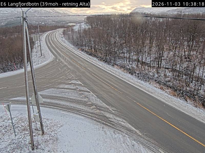
Towns near Loppatinden
- Alta49 km away