Mountains in United States
Los Pinos Peak
4,513 ft1,376 m
Mountain · Santa Ana Mountains · United States
 See it in 3D
Facts
- What it is
- Mountain
- Height above sea level
- 4,513 ft (1,376 m)
- Range
- Santa Ana Mountains
- Country
- United States
- Coordinates
- 33.664°N 117.471°W
- Source
- Wikidata, CC0
Peaks near Los Pinos Peak
- Trabuco Peak4,607 ft · 4.2 km awayOn the map
- Santiago Peak5,689 ft · 7.8 km awayOn the map
- Modjeska Peak5,499 ft · 9.2 km awayOn the map
- San Mateo Peak3,591 ft · 10 km awayOn the map
- Estelle Mountain2,767 ft · 12 km awayOn the map
- Elsinore Peak3,575 ft · 14 km awayOn the map
- Rome Hill1,444 ft · 14 km awayOn the map
- Redonda Mesa2,825 ft · 22 km awayOn the map
- Arlington Mountain1,857 ft · 23 km awayOn the map
- Three Sisters1,886 ft · 25 km awayOn the map
Highest in the Santa Ana Mountains
- Santiago Peak5,689 ftOn the map
- Los Pinos Peak4,513 ftOn the map
- Redonda Mesa2,825 ftOn the map
Highest mountains in United States
- Denali20,308 ftOn the map
- Mount Saint Elias18,009 ftOn the map
- Mount Foraker17,402 ftOn the map
- Mount Bona16,535 ftOn the map
- Mount Blackburn16,390 ftOn the map
- Mount Sanford16,237 ftOn the map
- Mount Vancouver15,787 ftOn the map
- Mount Churchill15,636 ftOn the map
- Mount Fairweather15,325 ftOn the map
- Mount Hubbard14,951 ftOn the map
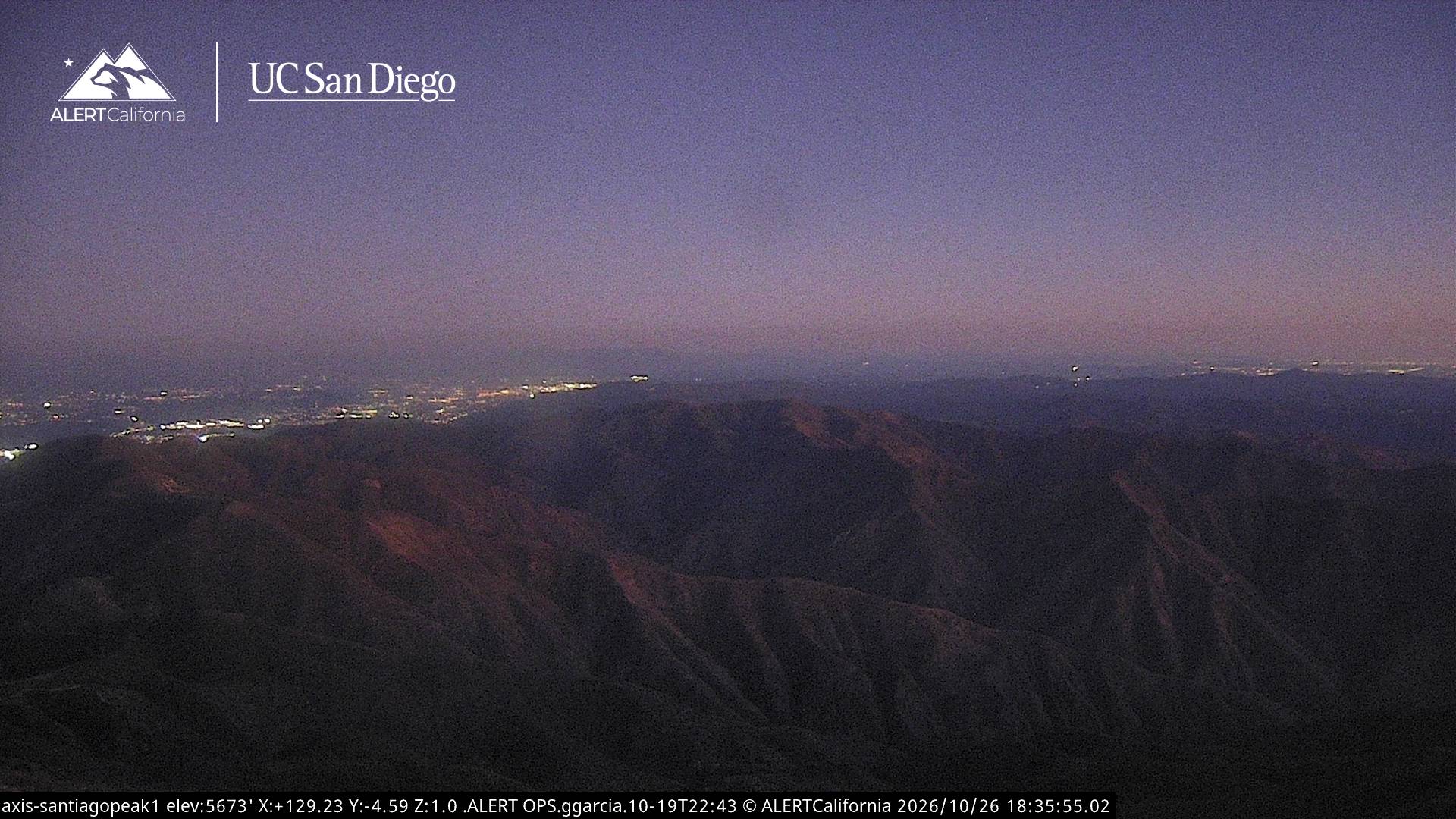
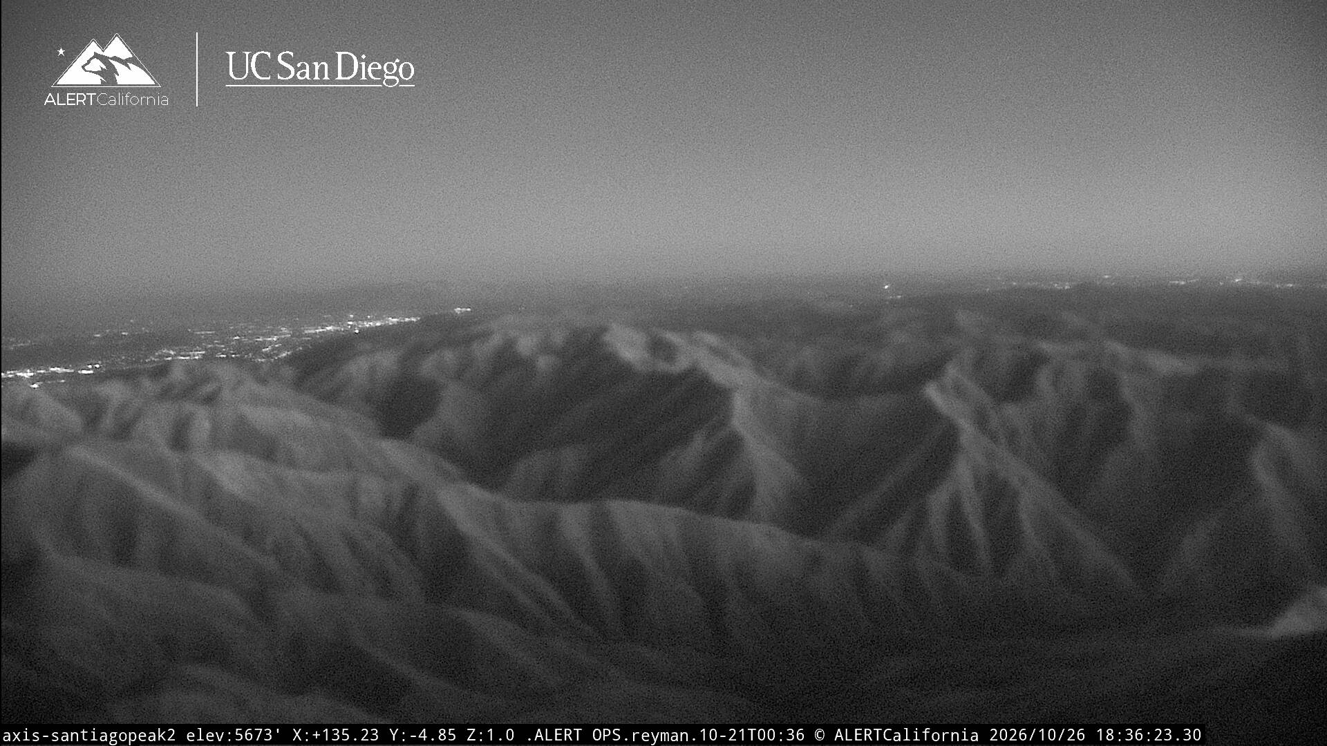
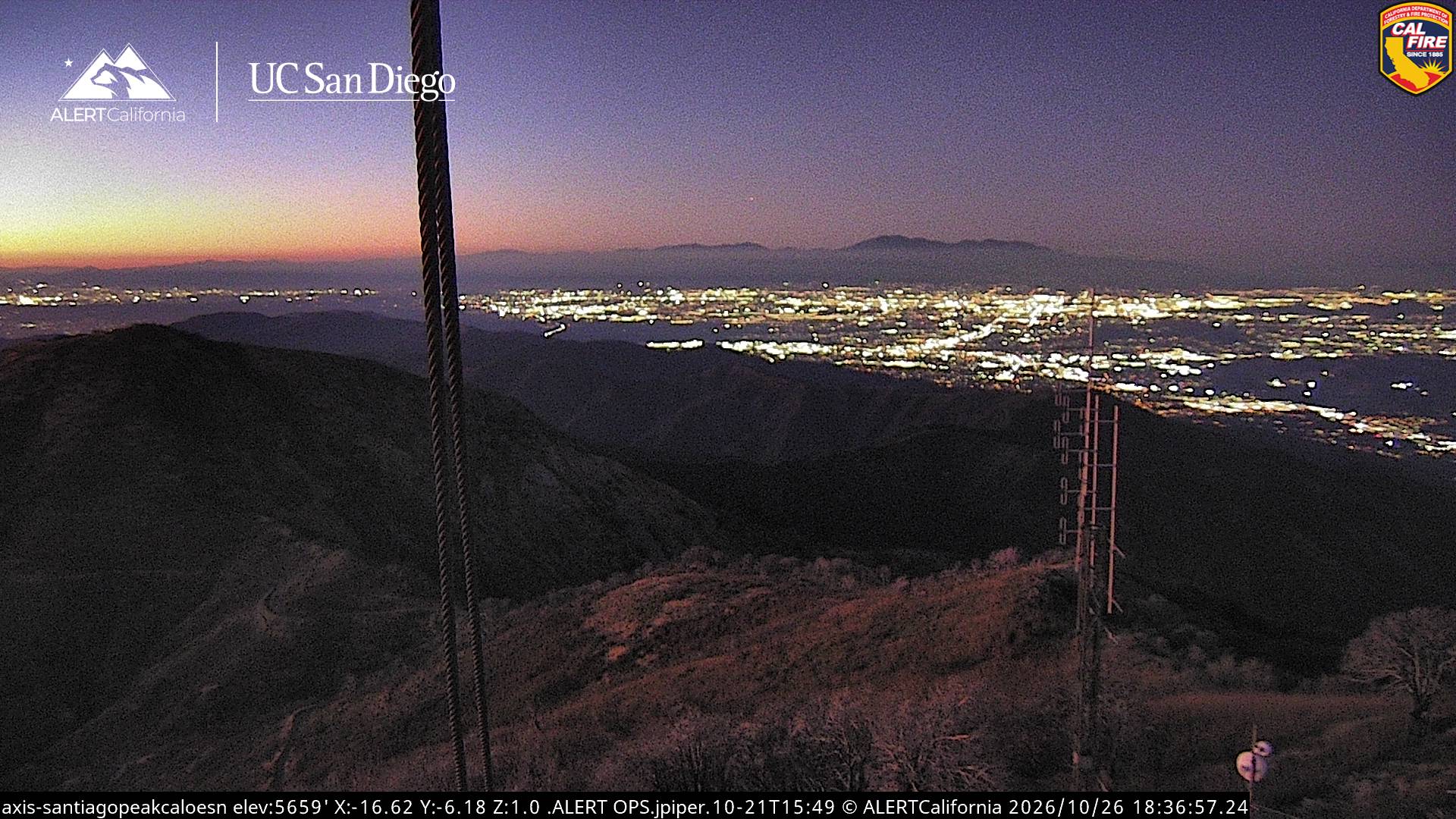
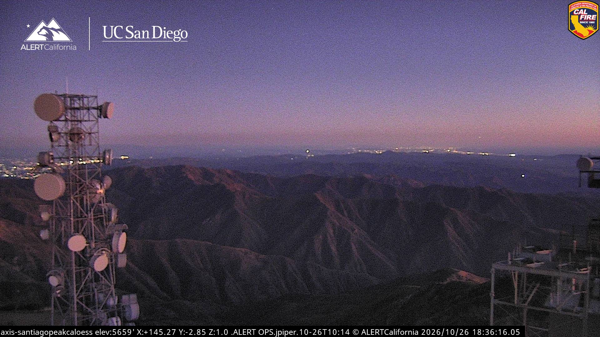
Webcams near Los Pinos Peak

History around Los Pinos Peak
- 2023 Trabuco Canyon shooting2023
- Bond Fire2020
- Holy Fire2018
Towns near Los Pinos Peak
- Rancho Santa Margarita12 km away
- Lake Elsinore13 km away
- Ladera Ranch18 km away
- Wildomar19 km away
- Canyon Lake19 km away
- Mission Viejo20 km away