Mountains in Czechia
Lysá hora
1,324 m4,344 ft
Mountain · Moravian-Silesian Beskids · Czechia
The highest point of Moravian-Silesian Beskids and Western section of the Western Beskids
At the summit · forecast for 8:00 AM
1 °CClear · wind 3 km/h from the S
 See it in 3D
Weather at the summit of Lysá hora, 1,324 m
- 8:00 AM1 °CS 3 km/h–
- 11:00 AM5 °CE 6 km/h–
- 2:00 PM6 °CNE 8 km/h–
- 5:00 PM1 °CE 6 km/h–
- 8:00 PM-1 °CS 8 km/h–
- 11:00 PM-2 °CS 5 km/h–
- 2:00 AM-2 °CS 7 km/h–
- 5:00 AM-2 °CS 6 km/h–
| Day | Sky | High / low | Rain | Wind up to |
|---|---|---|---|---|
| Today | Clear | 6 °C / -2 °C | – | 8 km/h |
| Wed, Oct 28 | Clear | 8 °C / -2 °C | – | 8 km/h |
| Thu, Oct 29 | Cloudy | 3 °C / -2 °C | 0.3 mm | 13 km/h |
| Fri, Oct 30 | Cloudy | 2 °C / 1 °C | 2.1 mm | 10 km/h |
| Sat, Oct 31 | Partly cloudy | 3 °C / -0 °C | 0.3 mm | 12 km/h |
| Sun, Nov 1 | Partly cloudy | 6 °C / -1 °C | – | 7 km/h |
| Mon, Nov 2 | Cloudy | 1 °C / -0 °C | 4.3 mm | 19 km/h |
Forecast by MET Norway (CC BY 4.0), updated 02:17 AM GMT+1. Times are local.
Facts
- What it is
- Mountain
- Height above sea level
- 1,324 m (4,344 ft)
- Prominence
- 768 m (2,520 ft)
- Isolation
- 54 km to higher ground
- Range
- Moravian-Silesian Beskids
- Country
- Czechia
- Highest point of
- Moravian-Silesian Beskids and Western section of the Western Beskids
- Coordinates
- 49.546°N 18.448°E
- Source
- Wikidata, CC0
Peaks near Lysá hora
- Smrk1,277 m · 6.9 km awayOn the map
- Kozubová982 m · 16 km awayOn the map
- Vysoká1,024 m · 17 km awayOn the map
- Radhošť1,129 m · 17 km awayOn the map
- Girová840 m · 25 km awayOn the map
- Stożek Wielki978 m · 28 km awayOn the map
- Czantoria Wielka995 m · 30 km awayOn the map
- Wielka Racza1,236 m · 41 km awayOn the map
- Barania Góra1,220 m · 41 km awayOn the map
- Skrzyczne1,257 m · 45 km awayOn the map
Highest in the Moravian-Silesian Beskids
- Lysá hora1,324 mOn the map
- Smrk1,277 mOn the map
- Kněhyně1,258 mOn the map
- Travný1,204 mOn the map
- Radegast1,106 mOn the map
- Tanečnice1,084 mOn the map
- Ropice1,082 mOn the map
- Burkův vrch1,032 mOn the map
- Javorový1,031 mOn the map
Highest mountains in Czechia
- Sněžka1,603 mOn the map
- Wielki Szyszak1,510 mOn the map
- Praděd1,491 mOn the map
- Smogornia1,490 mOn the map
- Mały Szyszak1,440 mOn the map
- Keprník1,423 mOn the map
- Králický Sněžník1,423 mOn the map
- Plechý / Plöckenstein1,379 mOn the map
- Bayerischer Plöckenstein1,362 mOn the map
- Boubín1,362 mOn the map
Webcams near Lysá hora


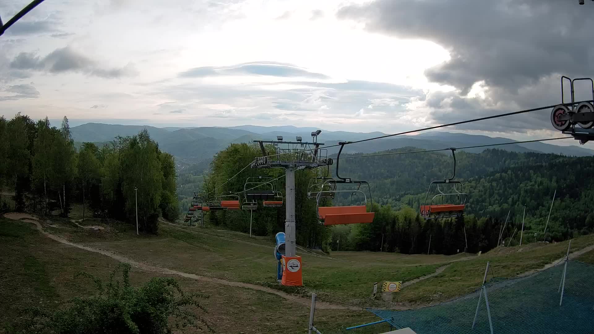

History around Lysá hora
Towns near Lysá hora
- Frýdek-Místek17 km away
- Třinec22 km away
- Kopřivnice23 km away
- Rožnov pod Radhoštěm24 km away
- Český Těšín26 km away
- Havířov26 km away