Mountains in United States
See it in 3DMcPartland Mountain
8,413 ft2,564 m
Mountain · Livingston Range · United States
Facts
- What it is
- Mountain
- Height above sea level
- 8,413 ft (2,564 m)
- Prominence
- 333 ft (102 m)
- Range
- Livingston Range
- Country
- United States
- Coordinates
- 48.691°N 113.864°W
- Source
- Wikidata, CC0
Peaks near McPartland Mountain
- Mount Vaught8,850 ft · 1.3 km awayOn the map
- Heavens Peak8,987 ft · 2.1 km awayOn the map
- Mount Cannon8,952 ft · 6.6 km awayOn the map
- Mount Brown8,533 ft · 6.7 km awayOn the map
- Bearhat Mountain8,684 ft · 7.8 km awayOn the map
- Clements Mountain8,760 ft · 9.1 km awayOn the map
- Edwards Mountain9,072 ft · 9.5 km awayOn the map
- Mount Oberlin8,180 ft · 9.5 km awayOn the map
- Reynolds Mountain9,125 ft · 11 km awayOn the map
- Gunsight Mountain (Montana)9,258 ft · 11 km awayOn the map
Highest in the Livingston Range
- Kinnerly Peak9,949 ftOn the map
- Rainbow Peak9,891 ftOn the map
- Vulture Peak9,638 ftOn the map
- Chapman Peak9,380 ftOn the map
- The Guardhouse9,336 ftOn the map
- Mount Peabody9,216 ftOn the map
- Numa Peak9,003 ftOn the map
- Heavens Peak8,987 ftOn the map
- McPartland Mountain8,413 ftOn the map
Highest mountains in United States
- Denali20,308 ftOn the map
- Mount Saint Elias18,009 ftOn the map
- Mount Foraker17,402 ftOn the map
- Mount Bona16,535 ftOn the map
- Mount Blackburn16,390 ftOn the map
- Mount Sanford16,237 ftOn the map
- Mount Vancouver15,787 ftOn the map
- Mount Churchill15,636 ftOn the map
- Mount Fairweather15,325 ftOn the map
- Mount Hubbard14,951 ftOn the map
Webcams near McPartland Mountain
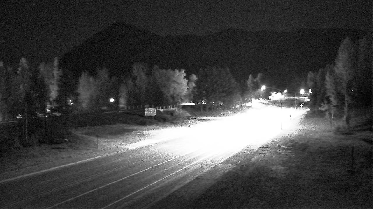
History around McPartland Mountain
Towns near McPartland Mountain
- Kalispell64 km away