Mickey's Spire
10,680 ft3,255 m
Mountain · Sawtooth Range · United States
Mickey's Spire, at 10,680 feet (3,260 m) above sea level is the fourth highest peak in the Sawtooth Range of Idaho. The peak is located in the Sawtooth Wilderness of Sawtooth National Recreation Area in Custer County. The peak is located 0.24 mi (0.39 km) south-southwest of Thompson Peak, its line parent.
From Wikipedia, CC BY-SA · Read the article
At the summit · forecast for 8:00 PM
16 °FMostly clear · wind 2 mph from the SW
 See it in 3D
Weather at the summit of Mickey's Spire, 10,680 ft
- 8:00 PM16 °FSW 2 mph–
- 11:00 PM11 °FS 3 mph–
- 2:00 AM11 °FS 4 mph–
- 5:00 AM14 °FS 4 mph–
- 8:00 AM14 °FS 5 mph–
- 11:00 AM18 °FS 6 mph–
- 2:00 PM22 °FSW 9 mph–
- 5:00 PM23 °FSW 8 mph–
| Day | Sky | High / low | Rain | Wind up to |
|---|---|---|---|---|
| Wed, Oct 28 | Partly cloudy | 24 °F / 11 °F | – | 10 mph |
| Thu, Oct 29 | Cloudy | 32 °F / 6 °F | – | 7 mph |
| Fri, Oct 30 | Snow | 27 °F / 22 °F | 0.2 in | 6 mph |
| Sat, Oct 31 | Light snow | 27 °F / 15 °F | 0.21 in | 4 mph |
| Sun, Nov 1 | Snow | 22 °F / 14 °F | 0.43 in | 5 mph |
| Mon, Nov 2 | Mostly clear | 20 °F / 4 °F | – | 3 mph |
| Tue, Nov 3 | Cloudy | 33 °F / 9 °F | – | 2 mph |
Forecast by MET Norway (CC BY 4.0), updated 11:17 AM MDT. Times are local.
Facts
- What it is
- Mountain
- Height above sea level
- 10,680 ft (3,255 m)
- Prominence
- 280 ft (85 m)
- Range
- Sawtooth Range
- Parent peak
- Thompson Peak
- Country
- United States
- Coordinates
- 44.138°N 115.012°W
- Source
- Wikidata, CC0
Mickey's Spire
Mountain in Idaho, United States
Mickey's Spire, at 10,680 feet (3,260 m) above sea level is the fourth highest peak in the Sawtooth Range of Idaho. The peak is located in the Sawtooth Wilderness of Sawtooth National Recreation Area in Custer County. The peak is located 0.24 mi (0.39 km) south-southwest of Thompson Peak, its line parent. It is the 206th highest peak in Idaho.
From Wikipedia, CC BY-SA · Read the article
Peaks near Mickey's Spire
- Thompson Peak10,751 ft · 0.4 km awayOn the map
- Mount Carter10,590 ft · 0.5 km awayOn the map
- Mount Limbert10,385 ft · 1.1 km awayOn the map
- Williams Peak10,635 ft · 1.6 km awayOn the map
- Horstmann Peak10,475 ft · 3 km awayOn the map
- Baron Peak10,297 ft · 3.2 km awayOn the map
- Moolack Mountain10,330 ft · 3.2 km awayOn the map
- Mount Iowa10,327 ft · 4 km awayOn the map
- Mount Regan10,190 ft · 4.6 km awayOn the map
- Alpine Peak9,861 ft · 4.8 km awayOn the map
Parent peak
The nearest higher peak its prominence is measured to.
- Thompson Peak10,751 ftOn the map
Peaks below Mickey's Spire
- Mount Carter10,590 ftOn the map
- Horstmann Peak10,475 ftOn the map
Highest in the Sawtooth Range
- Thompson Peak10,751 ftOn the map
- Mount Cramer10,716 ftOn the map
- Mickey's Spire10,680 ftOn the map
- Snowyside Peak10,651 ftOn the map
- Elk Peak10,582 ftOn the map
- Horstmann Peak10,475 ftOn the map
- Mount Regan10,190 ftOn the map
Highest mountains in United States
- Denali20,308 ftOn the map
- Mount Saint Elias18,009 ftOn the map
- Mount Foraker17,402 ftOn the map
- Mount Bona16,535 ftOn the map
- Mount Blackburn16,390 ftOn the map
- Mount Sanford16,237 ftOn the map
- Mount Vancouver15,787 ftOn the map
- Mount Churchill15,636 ftOn the map
- Mount Fairweather15,325 ftOn the map
- Mount Hubbard14,951 ftOn the map
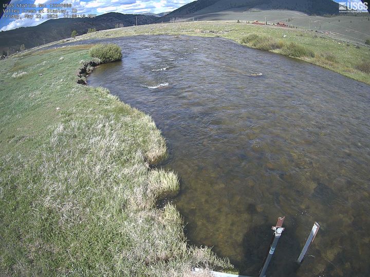
Webcams near Mickey's Spire
Towns near Mickey's Spire
- Sun Valley74 km away