Mountains in France
Mont Saint-Honorat
2,520 m8,268 ft
Mountain · Massif du Pelat · France
Le mont Saint-Honorat est un sommet situé dans la chaîne des Alpes, dans le massif du Pelat, dans les Alpes-Maritimes. Son sommet culmine à 2 520 m d'altitude.
From French Wikipedia, CC BY-SA · Read the article
At the summit · forecast for 11:00 AM
7 °CClear · wind 6 km/h from the S
 See it in 3D
Weather at the summit of Mont Saint-Honorat, 2,520 m
- 11:00 AM7 °CS 6 km/h–
- 2:00 PM8 °CS 8 km/h–
- 5:00 PM4 °CS 4 km/h–
- 8:00 PM1 °CN 4 km/h–
- 11:00 PM-1 °CN 5 km/h–
- 2:00 AM-2 °CN 4 km/h–
- 5:00 AM-3 °CN 5 km/h–
- 8:00 AM-2 °CN 5 km/h–
| Day | Sky | High / low | Rain | Wind up to |
|---|---|---|---|---|
| Today | Mostly clear | 8 °C / -1 °C | – | 8 km/h |
| Thu, Oct 29 | Partly cloudy | 7 °C / -4 °C | 0.2 mm | 10 km/h |
| Fri, Oct 30 | Rain | 4 °C / -1 °C | 6.7 mm | 8 km/h |
| Sat, Oct 31 | Clear | 4 °C / -6 °C | – | 9 km/h |
| Sun, Nov 1 | Clear | 3 °C / -6 °C | – | 5 km/h |
| Mon, Nov 2 | Cloudy | 1 °C / -5 °C | 0.4 mm | 5 km/h |
| Tue, Nov 3 | Partly cloudy | 2 °C / -6 °C | – | 7 km/h |
Forecast by MET Norway (CC BY 4.0), updated 09:19 AM GMT+1. Times are local.
Facts
- What it is
- Mountain
- Height above sea level
- 2,520 m (8,268 ft)
- Range
- Massif du Pelat
- Country
- France
- Coordinates
- 44.076°N 6.764°E
- Source
- Wikidata, CC0
Peaks near Mont Saint-Honorat
- Mont Mounier2,817 m · 18 km awayOn the map
- Mont Pelat3,051 m · 21 km awayOn the map
- Cimet3,020 m · 24 km awayOn the map
- Cime de la Bonette2,860 m · 27 km awayOn the map
- Tête de l'Estrop2,961 m · 31 km awayOn the map
- Rocca dei Tre Vescovi2,867 m · 33 km awayOn the map
- Enciastraia2,955 m · 34 km awayOn the map
- Testa Malinvern2,939 m · 36 km awayOn the map
- Monte Oserot2,860 m · 40 km awayOn the map
- Monte Matto3,097 m · 42 km awayOn the map
Highest in the Massif du Pelat
- Cimet3,020 mOn the map
- Le Grand Coyer2,693 mOn the map
- aiguilles de Pelens2,523 mOn the map
- Mont Saint-Honorat2,520 mOn the map
Highest mountains in France
- Mont Blanc4,806 mOn the map
- Pointe Walker4,208 mOn the map
- Grandes Jorasses4,208 mOn the map
- Aiguille Verte4,122 mOn the map
- Barre des Écrins4,102 mOn the map
- Meije3,983 mOn the map
- Ailefroide3,954 mOn the map
- Mont Pelvoux3,946 mOn the map
- Pic Sans Nom3,913 mOn the map
- Aiguille de Tré la Tête3,911 mOn the map
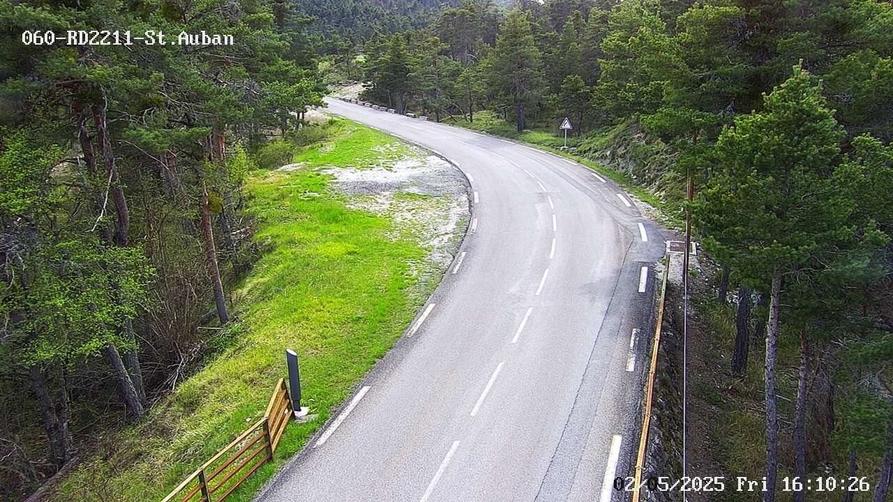
Webcams near Mont Saint-Honorat
History around Mont Saint-Honorat
Towns near Mont Saint-Honorat
- Digne-les-Bains43 km away
- Vence48 km away
- Grasse48 km away
- Cagnes-sur-Mer55 km away
- Mougins56 km away
- Saint-Laurent-du-Var56 km away