Mountains in France
Mont Turia
3,650 m11,975 ft
Mountain · Vanoise massif · France
Mont Turia is a shoulder on the north ridge of Mont Pourri in Savoie, France. It lies in the Massif de la Vanoise range. It has an elevation of 3,646 metres above sea level.
From Wikipedia, CC BY-SA · Read the article
At the summit · forecast for 5:00 AM
-7 °CPartly cloudy · wind 4 km/h from the SE
 See it in 3D
Weather at the summit of Mont Turia, 3,650 m
- 5:00 AM-7 °CSE 4 km/h–
- 8:00 AM-9 °CSE 4 km/h–
- 11:00 AM-4 °CSW 5 km/h–
- 2:00 PM-4 °CSW 6 km/h–
- 5:00 PM-6 °CS 4 km/h–
- 8:00 PM-10 °CSE 4 km/h–
- 11:00 PM-11 °CSE 4 km/h–
- 2:00 AM-11 °CSE 4 km/h–
| Day | Sky | High / low | Rain | Wind up to |
|---|---|---|---|---|
| Today | Clear | -4 °C / -11 °C | – | 7 km/h |
| Thu, Oct 29 | Mostly clear | -2 °C / -14 °C | – | 8 km/h |
| Fri, Oct 30 | Clear | -4 °C / -11 °C | – | 7 km/h |
| Sat, Oct 31 | Clear | -3 °C / -16 °C | – | 5 km/h |
| Sun, Nov 1 | Clear | -1 °C / -10 °C | – | 4 km/h |
| Mon, Nov 2 | Clear | -5 °C / -10 °C | 0.2 mm | 6 km/h |
| Tue, Nov 3 | Clear | -6 °C / -12 °C | – | 4 km/h |
Forecast by MET Norway (CC BY 4.0), updated 02:17 AM GMT+1. Times are local.
Facts
- What it is
- Mountain
- Height above sea level
- 3,650 m (11,975 ft)
- Prominence
- 3 m (10 ft)
- Range
- Vanoise massif
- Country
- France
- Coordinates
- 45.532°N 6.861°E
- Source
- Wikidata, CC0
Peaks near Mont Turia
- Aiguille de la Grande Sassière3,751 m · 11 km awayOn the map
- Grande Casse3,855 m · 14 km awayOn the map
- Pierra Menta2,714 m · 20 km awayOn the map
- Dent Parrachée3,697 m · 28 km awayOn the map
- Aiguille de Tré la Tête3,911 m · 29 km awayOn the map
- Punta Baretti4,013 m · 31 km awayOn the map
- Picco Luigi Amedeo4,469 m · 32 km awayOn the map
- Gran Paradiso4,061 m · 32 km awayOn the map
- Mont Brouillard4,069 m · 32 km awayOn the map
- Dômes de Miage3,673 m · 32 km awayOn the map
Highest in the Vanoise massif
- Grande Casse3,855 mOn the map
- Mont Pourri3,779 mOn the map
- Dent Parrachée3,697 mOn the map
- Grande Motte3,653 mOn the map
- Mont Turia3,650 mOn the map
- Aiguille de Péclet3,566 mOn the map
- Pointe de l'Échelle3,422 mOn the map
- Pointe du Bouchet3,420 mOn the map
- Sommet de Bellecôte3,417 mOn the map
Highest mountains in France
- Mont Blanc4,806 mOn the map
- Pointe Walker4,208 mOn the map
- Grandes Jorasses4,208 mOn the map
- Aiguille Verte4,122 mOn the map
- Barre des Écrins4,102 mOn the map
- Meije3,983 mOn the map
- Ailefroide3,954 mOn the map
- Mont Pelvoux3,946 mOn the map
- Pic Sans Nom3,913 mOn the map
- Aiguille de Tré la Tête3,911 mOn the map
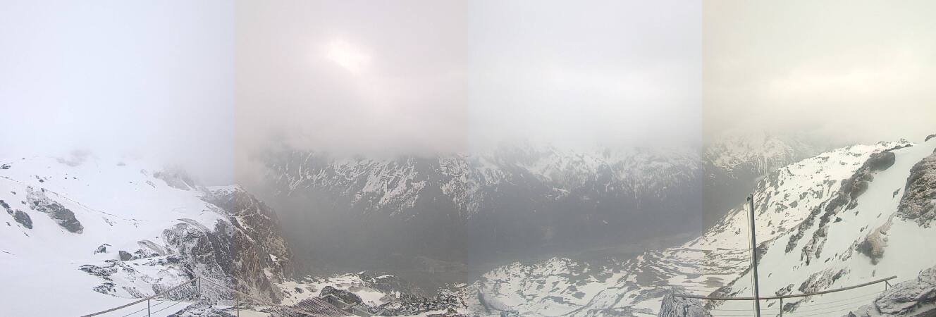
Webcams near Mont Turia



History around Mont Turia
Towns near Mont Turia
- Albertville40 km away
- Aosta42 km away
- Sallanches49 km away
- Cluses63 km away
- Martigny-Ville66 km away
- Ciriè67 km away