 See it in 3D
Facts
- What it is
- Mountain
- Height above sea level
- 2,147 m (7,044 ft)
- Country
- Italy
- Coordinates
- 46.056°N 10.299°E
- Source
- Wikidata, CC0
Peaks near Monte Elto
- Mount Adamello3,539 m · 19 km awayOn the map
- Pizzo Coca3,052 m · 22 km awayOn the map
- Presanella3,556 m · 34 km awayOn the map
- Scima da Saoseo3,264 m · 38 km awayOn the map
- Cima Piazzi3,439 m · 40 km awayOn the map
- Piz Varuna3,453 m · 40 km awayOn the map
- Piz Paradisin3,302 m · 43 km awayOn the map
- Piz Cambrena3,606 m · 44 km awayOn the map
- Piz Palü3,899 m · 44 km awayOn the map
- Piz Zupò3,995 m · 45 km awayOn the map
Highest mountains in Italy
- Mont Blanc4,806 mOn the map
- Lyskamm4,532 mOn the map
- Matterhorn4,478 mOn the map
- Pointe Walker4,208 mOn the map
- Grandes Jorasses4,208 mOn the map
- Dent d'Hérens4,173 mOn the map
- Breithorn4,160 mOn the map
- Monte Elto2,147 mOn the map
Webcams near Monte Elto
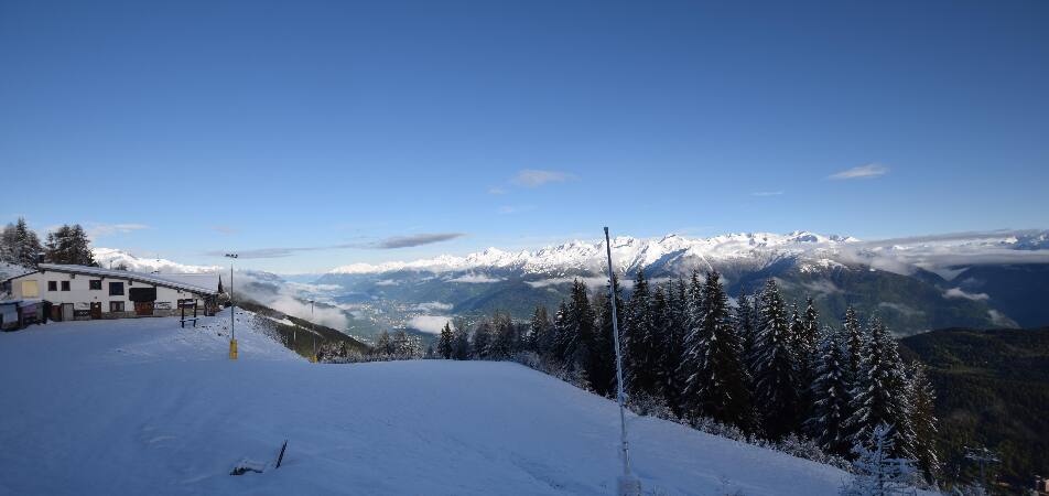
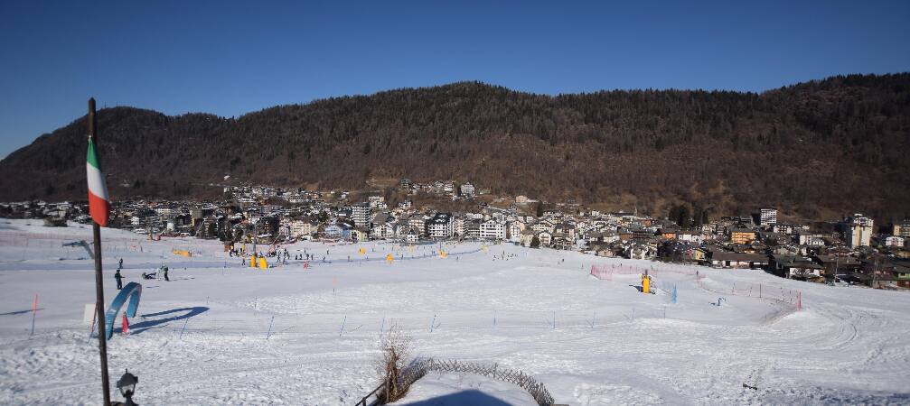

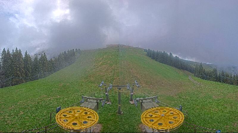

History around Monte Elto
Towns near Monte Elto
- Sondrio35 km away
- San Sebastiano45 km away
- Lumezzane45 km away
- Riva del Garda46 km away
- Brescia58 km away
- Rovereto60 km away